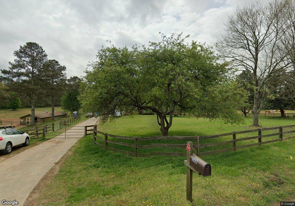
526 Cox Rd Roswell, GA 30075
Estimated Value: $930,000 - $1,518,000
3
Beds
3
Baths
1,390
Sq Ft
$881/Sq Ft
Est. Value
About This Home
This home is located at 526 Cox Rd, Roswell, GA 30075 and is currently estimated at $1,224,895, approximately $881 per square foot. 526 Cox Rd is a home located in Fulton County with nearby schools including Sweet Apple Elementary School, Elkins Pointe Middle School, and Crabapple Montessori School.
Ownership History
Date
Name
Owned For
Owner Type
Purchase Details
Closed on
Jul 8, 2003
Sold by
Godown John E and Godown Beverly B
Bought by
Motlagh Bijan
Current Estimated Value
Home Financials for this Owner
Home Financials are based on the most recent Mortgage that was taken out on this home.
Original Mortgage
$435,000
Interest Rate
5.16%
Purchase Details
Closed on
Jul 7, 1999
Sold by
Godown John E
Bought by
Godown John E and Godown Beverly B
Create a Home Valuation Report for This Property
The Home Valuation Report is an in-depth analysis detailing your home's value as well as a comparison with similar homes in the area
Home Values in the Area
Average Home Value in this Area
Purchase History
| Date | Buyer | Sale Price | Title Company |
|---|---|---|---|
| Motlagh Bijan | $580,000 | -- | |
| Godown John E | -- | -- |
Source: Public Records
Mortgage History
| Date | Status | Borrower | Loan Amount |
|---|---|---|---|
| Closed | Motlagh Bijan | $435,000 |
Source: Public Records
Tax History Compared to Growth
Tax History
| Year | Tax Paid | Tax Assessment Tax Assessment Total Assessment is a certain percentage of the fair market value that is determined by local assessors to be the total taxable value of land and additions on the property. | Land | Improvement |
|---|---|---|---|---|
| 2025 | $2,256 | $476,920 | $405,280 | $71,640 |
| 2023 | $13,421 | $475,480 | $405,280 | $70,200 |
| 2022 | $6,460 | $245,520 | $190,520 | $55,000 |
| 2021 | $6,468 | $238,400 | $185,000 | $53,400 |
| 2020 | $7,183 | $258,440 | $207,560 | $50,880 |
| 2019 | $1,350 | $253,880 | $203,880 | $50,000 |
| 2018 | $6,999 | $247,960 | $199,120 | $48,840 |
| 2017 | $5,173 | $177,320 | $128,760 | $48,560 |
| 2016 | $5,175 | $177,320 | $128,760 | $48,560 |
| 2015 | $6,035 | $177,320 | $128,760 | $48,560 |
| 2014 | $5,435 | $177,320 | $128,760 | $48,560 |
Source: Public Records
Map
Nearby Homes
- 130 Nova Ln
- 12867 Etris Walk
- 12620 Old Surrey Place
- 915 Ebenezer Rd
- 105 Kensington Pond Ct
- 160 Cedarwood Ln
- 130 Cedarwood Ln
- 515 Kent Rd
- 161 Brook Ln
- 180 Cedarwood Ln
- 150 Cedarwood Ln
- 235 Winterberry Way
- 120 Cedarwood Ln
- 140 Cedarwood Ln
- 12950 New Providence Rd
- 12555 Sibley Ln
- 137 Quinn Way
- 127 Quinn Way
- 0 Cox Rd Unit 7687502
- 0 Cox Rd Unit 10651525
- 12609 King Rd
- 525 Cox Rd
- 555 Cox Rd
- 515 Cox Rd
- 535 Cox Rd
- 645 Woodstream Ct
- 565 Cox Rd
- 835 King Estates Ct
- 835 King Estates Ct
- 635 Woodstream Ct
- 625 Woodstream Ct
- 605 Woodstream Ct
- 12585 King Rd
- 615 Woodstream Ct
- 575 Cox Rd
- 655 Woodstream Ct
- 0 Woodstream Ct Unit 7513644
- 0 Woodstream Ct Unit 7520998
- 0 Woodstream Ct Unit 8196988
- 0 Woodstream Ct Unit 7005679