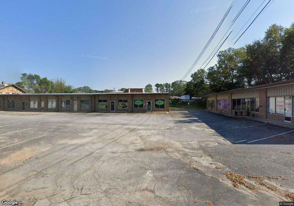
526 E Durst Ave Greenwood, SC 29649
Studio
--
Bath
10,600
Sq Ft
40,467
Sq Ft Lot
About This Home
This home is located at 526 E Durst Ave, Greenwood, SC 29649. 526 E Durst Ave is a home located in Greenwood County with nearby schools including Merrywood Elementary School, Northside Middle School, and Greenwood High School.
Ownership History
Date
Name
Owned For
Owner Type
Purchase Details
Closed on
Dec 1, 2023
Sold by
Revocable Trust and Revocable Trust
Bought by
Larkins Properties Llc
Home Financials for this Owner
Home Financials are based on the most recent Mortgage that was taken out on this home.
Original Mortgage
$260,000
Outstanding Balance
$163,765
Interest Rate
7.79%
Mortgage Type
New Conventional
Purchase Details
Closed on
May 16, 2005
Sold by
Smith Sue L
Bought by
Smith Sue L and The Revocable Trust Agreement
Create a Home Valuation Report for This Property
The Home Valuation Report is an in-depth analysis detailing your home's value as well as a comparison with similar homes in the area
Purchase History
| Date | Buyer | Sale Price | Title Company |
|---|---|---|---|
| Larkins Properties Llc | -- | None Listed On Document | |
| Smith Sue L | -- | -- | |
| Smith W Perry | -- | -- |
Source: Public Records
Mortgage History
| Date | Status | Borrower | Loan Amount |
|---|---|---|---|
| Open | Larkins Properties Llc | $260,000 |
Source: Public Records
Tax History
| Year | Tax Paid | Tax Assessment Tax Assessment Total Assessment is a certain percentage of the fair market value that is determined by local assessors to be the total taxable value of land and additions on the property. | Land | Improvement |
|---|---|---|---|---|
| 2025 | $7,159 | $15,600 | $0 | $0 |
| 2024 | $7,159 | $15,600 | $0 | $0 |
| 2023 | $7,034 | $14,740 | $0 | $0 |
| 2022 | $6,561 | $14,740 | $0 | $0 |
| 2021 | $6,561 | $14,740 | $0 | $0 |
| 2020 | $6,683 | $14,740 | $0 | $0 |
| 2019 | $6,683 | $14,740 | $0 | $0 |
| 2018 | $6,587 | $245,600 | $81,000 | $164,600 |
| 2017 | $6,587 | $245,600 | $81,000 | $164,600 |
| 2016 | $6,592 | $245,600 | $81,000 | $164,600 |
| 2015 | $6,490 | $245,600 | $81,000 | $164,600 |
| 2014 | -- | $14,740 | $0 | $0 |
| 2010 | -- | $356,300 | $114,200 | $242,100 |
Source: Public Records
Map
Nearby Homes
- 604 Brooklane Dr
- 608 Brooklane Dr
- 4 acres Hwy 72 Bypass & Hwy 72 Business
- 201 Baldwin Ave
- 210 Jacob St
- 122 Mcdowell St
- 501 Cothran Ave
- 511 Cambridge Ave E
- 224 Elm Ct
- 335 Grace St
- 219 Beadle Ave
- 138 Ridgewood Cir
- 837 Cambridge Ave E
- 111 Pin Oak Dr
- 114 Pin Oak Dr
- 215 Grace St
- 320 Lawson St
- 118 St
- 112 Terrace Way
- 152 Grace St
- 605 Durst Ave E
- 607 Durst Ave E
- 519 Durst Ave E
- 525 Durst Ave E
- 202 Melody Ln
- 609 E Durst Ave
- 515 Durst Ave E
- 611 E Durst Ave
- 513 Durst Ave E
- 614 Durst Ave E
- 204 Melody Ln
- 102 Gary Ct
- 1018 Reynolds Ave
- 1016 Reynolds Ave
- 205 Melody Ln
- 1014 Reynolds Ave
- 620 E Durst Ave
- 206 Melody Ln
- 1111 Reynolds Ave
- 1014 Reynolds Ave
Your Personal Tour Guide
Ask me questions while you tour the home.