526 Forbes Rd Bedford, PA 15522
Estimated Value: $256,000 - $302,000
--
Bed
--
Bath
1,689
Sq Ft
$165/Sq Ft
Est. Value
About This Home
This home is located at 526 Forbes Rd, Bedford, PA 15522 and is currently estimated at $278,481, approximately $164 per square foot. 526 Forbes Rd is a home located in Bedford County with nearby schools including Bedford Elementary School, Bedford Middle School, and Bedford Senior High School.
Ownership History
Date
Name
Owned For
Owner Type
Purchase Details
Closed on
Oct 23, 2015
Sold by
Weyant Robert Leland and Weyant Krystal N
Bought by
Davies Timothy M and Davies Amy J
Current Estimated Value
Home Financials for this Owner
Home Financials are based on the most recent Mortgage that was taken out on this home.
Original Mortgage
$169,562
Outstanding Balance
$133,500
Interest Rate
3.9%
Mortgage Type
New Conventional
Estimated Equity
$144,981
Purchase Details
Closed on
May 20, 2008
Sold by
Ressler Clyde A and Ressler Betty J
Bought by
Weyant Robert Leland and Lafferty Krystal N
Home Financials for this Owner
Home Financials are based on the most recent Mortgage that was taken out on this home.
Original Mortgage
$130,000
Interest Rate
6.11%
Mortgage Type
New Conventional
Create a Home Valuation Report for This Property
The Home Valuation Report is an in-depth analysis detailing your home's value as well as a comparison with similar homes in the area
Home Values in the Area
Average Home Value in this Area
Purchase History
| Date | Buyer | Sale Price | Title Company |
|---|---|---|---|
| Davies Timothy M | $164,900 | None Available | |
| Weyant Robert Leland | $155,000 | None Available |
Source: Public Records
Mortgage History
| Date | Status | Borrower | Loan Amount |
|---|---|---|---|
| Open | Davies Timothy M | $169,562 | |
| Previous Owner | Weyant Robert Leland | $130,000 |
Source: Public Records
Tax History Compared to Growth
Tax History
| Year | Tax Paid | Tax Assessment Tax Assessment Total Assessment is a certain percentage of the fair market value that is determined by local assessors to be the total taxable value of land and additions on the property. | Land | Improvement |
|---|---|---|---|---|
| 2025 | $2,437 | $146,800 | $39,000 | $107,800 |
| 2024 | $2,791 | $146,800 | $39,000 | $107,800 |
| 2023 | $2,717 | $146,800 | $39,000 | $107,800 |
| 2022 | $2,689 | $146,800 | $39,000 | $107,800 |
| 2021 | $2,542 | $146,800 | $39,000 | $107,800 |
| 2020 | $2,481 | $146,800 | $39,000 | $107,800 |
| 2019 | $2,402 | $146,800 | $39,000 | $107,800 |
| 2018 | $2,402 | $146,800 | $39,000 | $107,800 |
| 2017 | $2,372 | $146,800 | $39,000 | $107,800 |
| 2016 | -- | $146,800 | $39,000 | $107,800 |
| 2014 | -- | $145,300 | $37,500 | $107,800 |
Source: Public Records
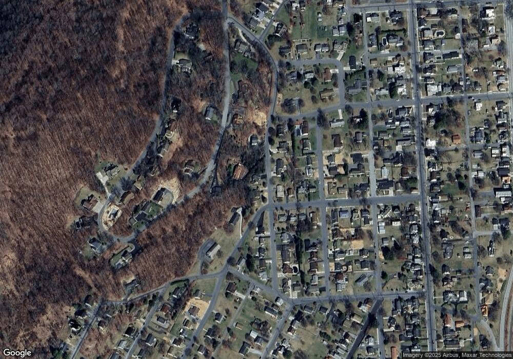
Map
Nearby Homes
- 680 Barclay Dr
- Lot 1 Off S Thomas St
- Lot 7 Off S Thomas St
- Lot 6 Off S Thomas St
- Lot 8 Off S Thomas St
- 36,37,46 Oakwood Dr
- 612 S Thomas St
- 125 Barclay St
- 490 Forbes Rd
- 790 Echo Vale Dr
- 247 W John St
- # 56 #58 Hench St
- 414 S Richard St
- 420 S Richard St
- 519 S Richard St
- Lot 2 Off Green Ln
- Lot 4 Off Green Ln
- Lot 10 Off Green Ln
- Lot 9 Off Green Ln
- Lot 5 Off Green Ln
- 544 Forbes Rd
- 528 Forbes Rd
- 527 Forbes Rd
- 210 Barclay St
- 520 Forbes Rd
- 204 Barclay St
- 523 Forbes Rd
- 204 Barclay St
- 523 Oakwood Dr
- 202 Barclay St
- 600 Hammer St
- 207 Barclay St
- 522 S Thomas St
- 520 S Thomas St
- 517 Forbes Rd
- 205 Barclay St
- 0 Lot Unit 11 Shawnee Settlemen
- 0 Lot Unit 10 Shawnee Settlemen
- 0 Lot Unit 8 Shawnee Settlement
- 0 Lot Unit 6 Shawnee Settlement