526 Hickok Ln University Park, IL 60484
Estimated Value: $136,000 - $198,000
3
Beds
1
Bath
988
Sq Ft
$173/Sq Ft
Est. Value
About This Home
This home is located at 526 Hickok Ln, University Park, IL 60484 and is currently estimated at $170,667, approximately $172 per square foot. 526 Hickok Ln is a home located in Will County with nearby schools including Balmoral Elementary School, Crete-Monee Middle School, and Crete-Monee High School.
Ownership History
Date
Name
Owned For
Owner Type
Purchase Details
Closed on
Apr 15, 2010
Sold by
Campbell David J and Campbell Lynn E
Bought by
Straight A Properties Llc
Current Estimated Value
Home Financials for this Owner
Home Financials are based on the most recent Mortgage that was taken out on this home.
Original Mortgage
$38,000
Interest Rate
5%
Mortgage Type
New Conventional
Purchase Details
Closed on
Feb 26, 2010
Sold by
Straight A Properties Llc
Bought by
Campbell David J and Campbell Lynn E
Home Financials for this Owner
Home Financials are based on the most recent Mortgage that was taken out on this home.
Original Mortgage
$38,000
Interest Rate
5%
Mortgage Type
New Conventional
Purchase Details
Closed on
Apr 22, 2008
Sold by
Campbell David and Campbell Lynn
Bought by
Straight A Properties Llc
Purchase Details
Closed on
Nov 30, 2006
Sold by
Rucker Shirley and Estate Of Anna J Rucker
Bought by
Campbell David and Campbell Lynn
Create a Home Valuation Report for This Property
The Home Valuation Report is an in-depth analysis detailing your home's value as well as a comparison with similar homes in the area
Home Values in the Area
Average Home Value in this Area
Purchase History
| Date | Buyer | Sale Price | Title Company |
|---|---|---|---|
| Straight A Properties Llc | -- | None Available | |
| Campbell David J | -- | Chicago Title Insurance Co | |
| Straight A Properties Llc | -- | None Available | |
| Campbell David | $70,000 | Atg |
Source: Public Records
Mortgage History
| Date | Status | Borrower | Loan Amount |
|---|---|---|---|
| Previous Owner | Campbell David J | $38,000 |
Source: Public Records
Tax History Compared to Growth
Tax History
| Year | Tax Paid | Tax Assessment Tax Assessment Total Assessment is a certain percentage of the fair market value that is determined by local assessors to be the total taxable value of land and additions on the property. | Land | Improvement |
|---|---|---|---|---|
| 2024 | $5,355 | $42,665 | $8,402 | $34,263 |
| 2023 | $5,355 | $36,780 | $7,243 | $29,537 |
| 2022 | $4,560 | $32,354 | $6,371 | $25,983 |
| 2021 | $4,348 | $29,479 | $5,852 | $23,627 |
| 2020 | $4,311 | $28,523 | $5,662 | $22,861 |
| 2019 | $4,386 | $27,048 | $5,369 | $21,679 |
| 2018 | $4,305 | $26,020 | $5,255 | $20,765 |
| 2017 | $4,214 | $24,912 | $5,138 | $19,774 |
| 2016 | $3,999 | $23,601 | $4,941 | $18,660 |
| 2015 | $3,436 | $21,546 | $4,503 | $17,043 |
| 2014 | $3,436 | $21,249 | $4,441 | $16,808 |
| 2013 | $3,436 | $22,250 | $4,650 | $17,600 |
Source: Public Records
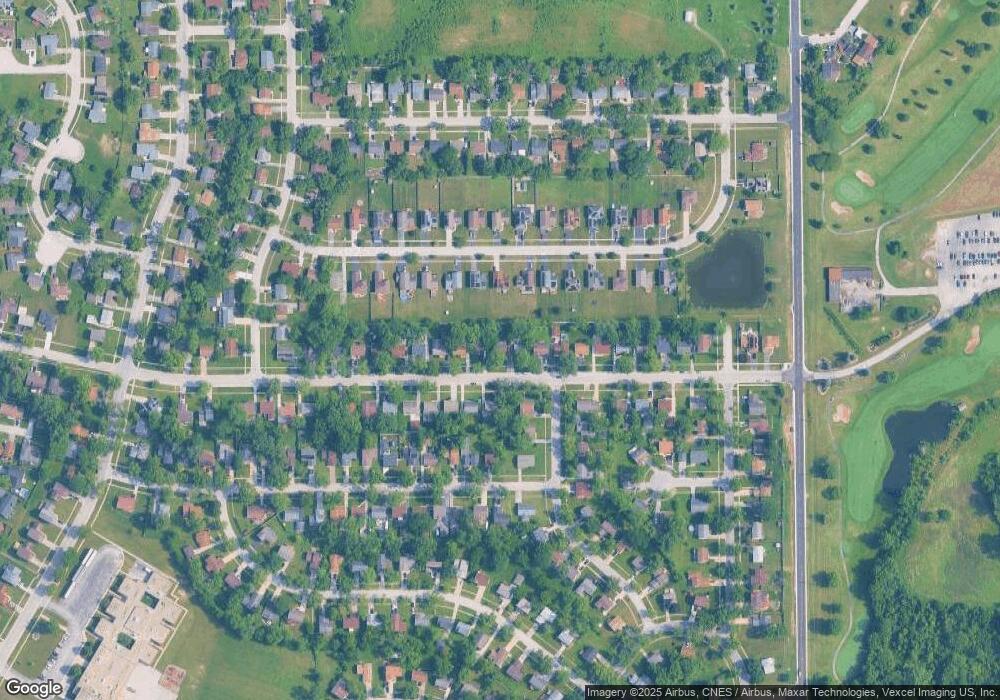
Map
Nearby Homes
- 543 Regent Rd
- 537 Nathan Rd
- 903 Blackhawk Dr
- 1039 Abbot Ln
- 1029 Samson Dr
- 607 Sullivan Ln
- 1032 Samson Dr
- 815 Blackhawk Dr
- 807 Blackhawk Dr
- 740 Mission St
- 608 Sullivan Ln
- 735 Union Dr
- 1039 Barrow Ct
- 1031 Blackhawk Dr
- 1109 Abbot Ln
- 610 Sandra Dr
- 655 Sullivan Ln
- 662 Sullivan Ln
- 523 Circle Dr
- 724 Union Dr