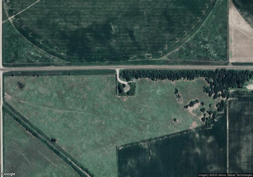
526 Highway 92 Palmer, NE 68864
Estimated Value: $221,000 - $384,801
--
Bed
--
Bath
1,487
Sq Ft
$223/Sq Ft
Est. Value
About This Home
This home is located at 526 Highway 92, Palmer, NE 68864 and is currently estimated at $331,450, approximately $222 per square foot. 526 Highway 92 is a home located in Merrick County with nearby schools including Palmer Elementary School.
Ownership History
Date
Name
Owned For
Owner Type
Purchase Details
Closed on
Apr 3, 2023
Sold by
Glynn Patrick A and Glynn Shelly R
Bought by
Patrick A & Shelly R Glynn Trust
Current Estimated Value
Create a Home Valuation Report for This Property
The Home Valuation Report is an in-depth analysis detailing your home's value as well as a comparison with similar homes in the area
Home Values in the Area
Average Home Value in this Area
Purchase History
| Date | Buyer | Sale Price | Title Company |
|---|---|---|---|
| Patrick A & Shelly R Glynn Trust | -- | -- |
Source: Public Records
Tax History Compared to Growth
Tax History
| Year | Tax Paid | Tax Assessment Tax Assessment Total Assessment is a certain percentage of the fair market value that is determined by local assessors to be the total taxable value of land and additions on the property. | Land | Improvement |
|---|---|---|---|---|
| 2025 | $2,648 | $349,740 | $62,250 | $287,490 |
| 2024 | $2,648 | $298,645 | $54,500 | $244,145 |
| 2023 | $3,439 | $282,645 | $38,500 | $244,145 |
| 2022 | $3,098 | $245,000 | $30,000 | $215,000 |
| 2021 | $3,017 | $236,135 | $30,000 | $206,135 |
| 2020 | $2,550 | $202,765 | $29,750 | $173,015 |
| 2019 | $2,358 | $194,515 | $21,500 | $173,015 |
| 2018 | $2,253 | $194,515 | $21,500 | $173,015 |
| 2017 | $2,198 | $189,265 | $16,250 | $173,015 |
| 2016 | $2,281 | $189,265 | $16,250 | $173,015 |
| 2015 | $247 | $189,265 | $16,250 | $173,015 |
| 2014 | $2,098 | $172,605 | $16,250 | $156,355 |
| 2012 | $1,131 | $148,825 | $14,000 | $134,825 |
Source: Public Records
Map
Nearby Homes
- 2390 4th Rd
- 2527 3rd Rd
- 605 Utica St
- 812 Commercial St
- 508 Lincoln Cir
- 1646 Worms Rd
- 1402 Q Rd
- 626 Denton Cir
- 0000 L Rd
- 0000 L Road Lot 9
- 121 Pine St
- 0000 L Road Lot 11
- 0000 L Road Lot 12
- 0000 L Road Lot 18
- 0000 L Road Lot 5
- 0000 L Road Lot 8
- 0000 L Road Lot 13
- 0000 L Road Lot 6
- 0000 L Road Lot 15
- 0000 L Road Lot 4