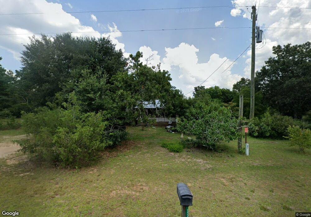
526 Jim Allen Rd Box Springs, GA 31801
Estimated Value: $99,000 - $294,000
--
Bed
1
Bath
676
Sq Ft
$244/Sq Ft
Est. Value
About This Home
This home is located at 526 Jim Allen Rd, Box Springs, GA 31801 and is currently estimated at $164,957, approximately $244 per square foot. 526 Jim Allen Rd is a home located in Marion County with nearby schools including L.K. Moss Elementary School and Marion County Middle/High School.
Ownership History
Date
Name
Owned For
Owner Type
Purchase Details
Closed on
Nov 12, 2019
Sold by
Warner Barry
Bought by
Sosa Jose and Sosa Beverly
Current Estimated Value
Purchase Details
Closed on
Nov 5, 2012
Sold by
Veal Roger
Bought by
Warner Barry and Warner Barbara
Home Financials for this Owner
Home Financials are based on the most recent Mortgage that was taken out on this home.
Original Mortgage
$35,000
Interest Rate
3.4%
Mortgage Type
New Conventional
Purchase Details
Closed on
Jan 8, 2009
Sold by
Veal Virginia Bullock
Bought by
Veal Roger
Purchase Details
Closed on
Jan 1, 1961
Bought by
Veal Virginia
Create a Home Valuation Report for This Property
The Home Valuation Report is an in-depth analysis detailing your home's value as well as a comparison with similar homes in the area
Home Values in the Area
Average Home Value in this Area
Purchase History
| Date | Buyer | Sale Price | Title Company |
|---|---|---|---|
| Sosa Jose | $68,400 | -- | |
| Warner Barry | $45,000 | -- | |
| Veal Roger | -- | -- | |
| Veal Virginia | -- | -- |
Source: Public Records
Mortgage History
| Date | Status | Borrower | Loan Amount |
|---|---|---|---|
| Previous Owner | Warner Barry | $35,000 |
Source: Public Records
Tax History Compared to Growth
Tax History
| Year | Tax Paid | Tax Assessment Tax Assessment Total Assessment is a certain percentage of the fair market value that is determined by local assessors to be the total taxable value of land and additions on the property. | Land | Improvement |
|---|---|---|---|---|
| 2024 | $991 | $44,517 | $6,662 | $37,855 |
| 2023 | $604 | $44,517 | $6,662 | $37,855 |
| 2022 | $534 | $22,380 | $6,662 | $15,718 |
| 2021 | $531 | $22,380 | $6,662 | $15,718 |
| 2020 | $534 | $22,380 | $6,662 | $15,718 |
| 2019 | $533 | $22,380 | $6,662 | $15,718 |
| 2018 | $533 | $22,380 | $6,662 | $15,718 |
| 2017 | $533 | $22,380 | $6,662 | $15,718 |
| 2016 | $231 | $18,014 | $10,125 | $7,889 |
| 2015 | -- | $18,014 | $10,125 | $7,889 |
| 2014 | -- | $18,014 | $10,125 | $7,889 |
| 2013 | -- | $18,014 | $10,125 | $7,888 |
Source: Public Records
Map
Nearby Homes
- 111 Sunnyside Dr
- 1164 Pineknot Rd
- 0 Palmer Cemetery Rd Unit 10588100
- 0 Pineknot Rd
- 349 New Hope Rd
- 235 S Epps Rd
- 5264 Georgia 41
- 245 Dog Track Rd
- 700 Gun Club Rd
- 6842 Ga Highway 240 Tract 1
- 6842 Ga Highway 240 N Unit TRACT 1
- 585 Deer Trail
- 7023 Cartledge Rd
- 1550 Hut Rd
- 422 Baker Creek Dr
- 0 N Ga Hwy 41 N Unit 222687
- 7020 Chantileer Dr
- 63 Spring St
- 64 Spring St
- 398 Woodyard Rd
- 524 Jim Allen Rd
- 551 Jim Allen Rd
- 495 Jim Allen Rd
- 2376 Pineknot Rd
- 2460 Pineknot Rd
- 2347 Pineknot Rd
- 2495 Pineknot Rd
- 2504 Pineknot Rd
- 0 Eunice Dr Unit 166723
- 0 Eunice Dr Unit 7056033
- 0 Eunice Dr Unit 3141086
- 22 Lillie Dr
- 167 Anderson Rd
- 44 Eunice Dr
- 2499 Pineknot Rd
- 92 Lillie Dr
- 133 Lillie Dr
- 162 Eunice Dr
- 7229 Ga Highway 355
- 2689 Pineknot Rd