
Seller's Agent in 2019
Carla Green
RE/MAX
(970) 485-0951
15 in this area
78 Total Sales


Estimated Value: $61,990 - $73,000
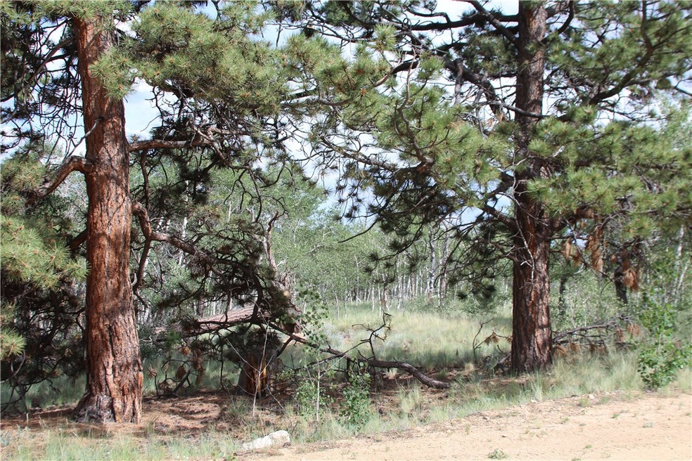
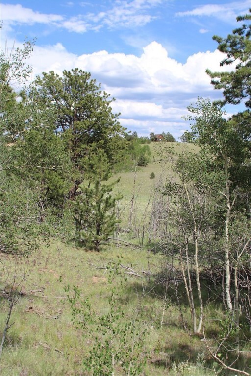
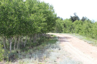
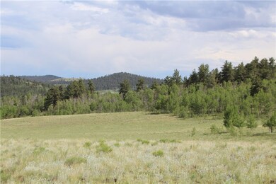
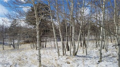
7 ac parcel that is a great mix of aspen, bristlecone, and meadows, backs to BLM (State) Lands with well already installed, permit #92857. fish in 3 reservoirs within 5-7 miles, or many public streams/rivers, What more could you want ! This property is located at the end of a culdesac, great place to build a cabin or just bring your camper. Hike or bike from your property, rafting 40 min. away. Correction: does have an HOA that is $25.00/yr.
Last Agent to Sell the Property
RE/MAX Properties of the Summit License #EA1325556 Listed on: 07/13/2019
| Date | Buyer | Sale Price | Title Company |
|---|---|---|---|
| Alvis Linda Lee | $280,000 | None Listed On Document | |
| Alvis Joseph Abraham | $45,000 | Fidelity National Title |
| Date | Event | Price | List to Sale | Price per Sq Ft |
|---|---|---|---|---|
| 10/18/2019 10/18/19 | Sold | $45,000 | 0.0% | -- |
| 09/18/2019 09/18/19 | Pending | -- | -- | -- |
| 07/13/2019 07/13/19 | For Sale | $45,000 | -- | -- |
| Year | Tax Paid | Tax Assessment Tax Assessment Total Assessment is a certain percentage of the fair market value that is determined by local assessors to be the total taxable value of land and additions on the property. | Land | Improvement |
|---|---|---|---|---|
| 2025 | $503 | $8,450 | $8,450 | $0 |
| 2024 | $879 | $15,430 | $15,430 | $0 |
| 2023 | $879 | $16,037 | $16,037 | $0 |
| 2022 | $539 | $8,289 | $8,289 | $0 |
| 2021 | $530 | $8,289 | $8,289 | $0 |
| 2020 | $353 | $5,380 | $5,380 | $0 |
| 2019 | $343 | $5,380 | $5,380 | $0 |
| 2018 | $335 | $5,380 | $5,380 | $0 |
| 2017 | $288 | $5,140 | $5,140 | $0 |
| 2016 | $236 | $4,150 | $4,150 | $0 |
| 2015 | $240 | $4,150 | $4,150 | $0 |
| 2014 | -- | $0 | $0 | $0 |
Seller's Agent in 2019
Carla Green
RE/MAX
(970) 485-0951
15 in this area
78 Total Sales
Buyer's Agent in 2019
JoAnn MacDougall
Jefferson Real Estate, Inc.
(719) 838-0117
256 in this area
749 Total Sales
Source: Summit MLS
MLS Number: S1014427
APN: 838
Disclaimer: Certain information contained herein is derived from information provided by parties other than Homes.com. All information provided is deemed reliable, but is not guaranteed to be accurate and should be independently verified.
![]() Copyright © 2026 SAR MLS. The information displayed herein was derived from sources believed to be accurate, but has not been verified by SAR MLS. Buyers are cautioned to verify all information to their own satisfaction. This information is exclusively for viewers’ personal, non-commercial use. Any republication or reproduction of the information herein without the express permission of the SAR MLS is strictly prohibited.
Copyright © 2026 SAR MLS. The information displayed herein was derived from sources believed to be accurate, but has not been verified by SAR MLS. Buyers are cautioned to verify all information to their own satisfaction. This information is exclusively for viewers’ personal, non-commercial use. Any republication or reproduction of the information herein without the express permission of the SAR MLS is strictly prohibited.
Ask me questions while you tour the home.