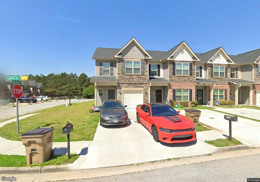
5261 Carrie Dr Unit D 2 Morrow, GA 30260
Estimated Value: $259,000 - $286,000
4
Beds
3
Baths
1,926
Sq Ft
$141/Sq Ft
Est. Value
About This Home
This home is located at 5261 Carrie Dr Unit D 2, Morrow, GA 30260 and is currently estimated at $271,426, approximately $140 per square foot. 5261 Carrie Dr Unit D 2 is a home located in Clayton County with nearby schools including Thurgood Marshall Elementary School, Morrow Middle School, and Morrow High School.
Ownership History
Date
Name
Owned For
Owner Type
Purchase Details
Closed on
Sep 18, 2023
Sold by
Brown Rakeem
Bought by
Seyoum Barbara
Current Estimated Value
Home Financials for this Owner
Home Financials are based on the most recent Mortgage that was taken out on this home.
Original Mortgage
$279,837
Outstanding Balance
$274,045
Interest Rate
7.09%
Mortgage Type
FHA
Estimated Equity
-$2,619
Purchase Details
Closed on
Dec 30, 2020
Sold by
Adams Homes Aec Llc
Bought by
Brown Pakeem
Home Financials for this Owner
Home Financials are based on the most recent Mortgage that was taken out on this home.
Original Mortgage
$192,100
Interest Rate
2.71%
Mortgage Type
VA
Create a Home Valuation Report for This Property
The Home Valuation Report is an in-depth analysis detailing your home's value as well as a comparison with similar homes in the area
Home Values in the Area
Average Home Value in this Area
Purchase History
| Date | Buyer | Sale Price | Title Company |
|---|---|---|---|
| Seyoum Barbara | $285,000 | -- | |
| Brown Pakeem | $192,100 | -- |
Source: Public Records
Mortgage History
| Date | Status | Borrower | Loan Amount |
|---|---|---|---|
| Open | Seyoum Barbara | $279,837 | |
| Previous Owner | Brown Pakeem | $192,100 |
Source: Public Records
Tax History Compared to Growth
Tax History
| Year | Tax Paid | Tax Assessment Tax Assessment Total Assessment is a certain percentage of the fair market value that is determined by local assessors to be the total taxable value of land and additions on the property. | Land | Improvement |
|---|---|---|---|---|
| 2024 | $4,064 | $113,200 | $5,600 | $107,600 |
| 2023 | $3,130 | $85,640 | $5,600 | $80,040 |
| 2022 | $3,391 | $85,440 | $5,600 | $79,840 |
| 2021 | $3,073 | $76,840 | $5,520 | $71,320 |
| 2020 | $262 | $5,600 | $5,600 | $0 |
| 2019 | $168 | $3,200 | $3,200 | $0 |
| 2018 | $168 | $3,200 | $3,200 | $0 |
| 2017 | $168 | $3,200 | $3,200 | $0 |
| 2016 | $168 | $3,200 | $3,200 | $0 |
| 2015 | $166 | $0 | $0 | $0 |
| 2014 | $165 | $3,200 | $3,200 | $0 |
Source: Public Records
Map
Nearby Homes
- 5253 Carrie Dr
- 5254 Carrie Dr
- 2183 Miranda Dr
- 2194 Miranda Dr
- 5237 Halcyon Ct
- 0 3rd St
- 5385 Booker t Dr
- 5425 Herndon Blvd
- 2247 Cypress Ave
- 5516 Bryant Blvd
- 1829 Joy Lake Rd
- 0 Poplar Ave Unit 10580022
- 0 Poplar Ave Unit 10481115
- 0 Poplar Ave Unit 7543163
- 3262 Anvil Block Rd
- 2616 Farn Dr
- 2382 Old Rex Morrow Rd
- 0 Lillian Ln
- 5812 Thompson Blvd
- 5816 Thompson Blvd
- 5259 Carrie Dr Unit D 3
- 5261 Carrie Dr
- 5257 Carrie Dr
- 5257 Carrie Dr Unit D4
- 5255 Carrie Dr Unit D 5
- 5263 Carrie Dr Unit D 1
- 5251 Carrie Dr
- 5249 Carrie Dr Unit D 8
- 5247 Carrie Dr
- 5245 Carrie Dr Unit D 10
- 5260 Carrie Dr
- 5260 Carrie Dr Unit G 11
- 2165 Miranda Dr
- 5262 Carrie Dr Unit G 12
- 2169 Miranda Dr
- 5258 Carrie Dr Unit G 10
- 5243 Carrie Dr
- 2167 Miranda Dr
- 2167 Miranda Dr Unit 5C
- 2163 Miranda Dr Unit 7 C