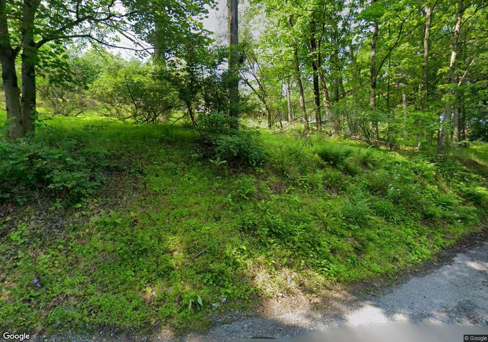
5263 North End Rd New Tripoli, PA 18066
Lowhill Township NeighborhoodEstimated Value: $783,000 - $1,181,576
5
Beds
3
Baths
4,054
Sq Ft
$230/Sq Ft
Est. Value
About This Home
This home is located at 5263 North End Rd, New Tripoli, PA 18066 and is currently estimated at $930,859, approximately $229 per square foot. 5263 North End Rd is a home located in Lehigh County with nearby schools including Northwestern Lehigh High School.
Ownership History
Date
Name
Owned For
Owner Type
Purchase Details
Closed on
Feb 19, 1999
Sold by
Sovereign Bank Fsb
Bought by
Zimmerman Dean S and Zimmerman Taren A
Current Estimated Value
Purchase Details
Closed on
Jan 12, 1998
Sold by
Diamond Steven M and Diamond Elaine Marie
Bought by
Sovereign Bank Fsb
Purchase Details
Closed on
May 16, 1988
Sold by
Diamond Steven M
Bought by
Diamond Steven M & Elaine Marie
Purchase Details
Closed on
Jul 11, 1977
Bought by
Diamond Steven M
Create a Home Valuation Report for This Property
The Home Valuation Report is an in-depth analysis detailing your home's value as well as a comparison with similar homes in the area
Home Values in the Area
Average Home Value in this Area
Purchase History
| Date | Buyer | Sale Price | Title Company |
|---|---|---|---|
| Zimmerman Dean S | $335,000 | -- | |
| Sovereign Bank Fsb | -- | -- | |
| Diamond Steven M & Elaine Marie | -- | -- | |
| Diamond Steven M | $110,000 | -- |
Source: Public Records
Tax History Compared to Growth
Tax History
| Year | Tax Paid | Tax Assessment Tax Assessment Total Assessment is a certain percentage of the fair market value that is determined by local assessors to be the total taxable value of land and additions on the property. | Land | Improvement |
|---|---|---|---|---|
| 2025 | $11,289 | $637,900 | $250,800 | $387,100 |
| 2024 | $10,945 | $637,900 | $250,800 | $387,100 |
| 2023 | $10,600 | $637,900 | $250,800 | $387,100 |
| 2022 | $10,324 | $637,900 | $387,100 | $250,800 |
| 2021 | $10,087 | $637,900 | $250,800 | $387,100 |
| 2020 | $9,809 | $637,900 | $250,800 | $387,100 |
| 2019 | $9,372 | $637,900 | $250,800 | $387,100 |
| 2018 | $9,245 | $637,900 | $250,800 | $387,100 |
| 2017 | $9,245 | $637,900 | $250,800 | $387,100 |
| 2016 | -- | $637,900 | $250,800 | $387,100 |
| 2015 | -- | $637,900 | $250,800 | $387,100 |
| 2014 | -- | $637,900 | $250,800 | $387,100 |
Source: Public Records
Map
Nearby Homes
- 7007 Bausch Rd
- 6909 Country Spring Rd
- 6786 Flint Hill Rd
- 7111 Flint Hill Rd
- 6288 Route 309
- 7356 Lincoln Ct
- 6103 Route 309
- 3609 Windy Rd
- 0 Allemaengel Rd
- 5725 Pfeiffer Cir
- 5742 Memorial Rd
- 5710 Pfeiffer Cir
- 9040 Airfield Ct
- 4260 W Wyndemere Cir
- 6341 Memorial Rd
- 4277 Somerset Rd
- 4303 W Wyndemere Cir
- 6365 Constitution Rd
- 3741 Weidasville Rd
- 6274 Glen Ct
- 5217 Werleys Corner Rd
- 5374 Werleys Corner Rd
- 7090 Bausch Rd
- 5388 Werleys Corner Rd
- 7093 Bausch Rd
- 7112 Country Spring Rd
- 7034 Bausch Rd
- 7026 Bausch Rd
- 7264 Bausch Rd
- 7212 Bausch Rd
- 7129 Country Spring Rd
- 5092 N End Rd
- 7188 Bausch Rd
- 7298 Bausch Rd
- 7159 Bausch Rd
- 7095 Country Spring Rd
- 7088 Country Spring Rd
- 7181 Bausch Rd
- 7117 Country Spring Rd
- 7330 Bausch Rd
