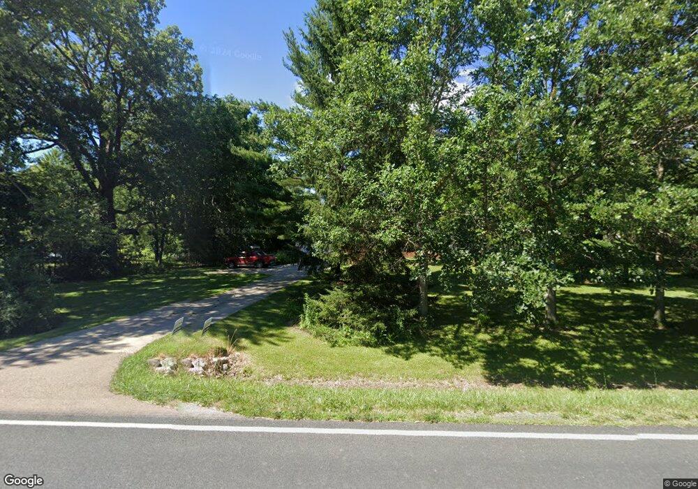
5265 Alward Rd Laingsburg, MI 48848
Estimated Value: $318,000 - $401,000
4
Beds
2
Baths
2,336
Sq Ft
$160/Sq Ft
Est. Value
About This Home
This home is located at 5265 Alward Rd, Laingsburg, MI 48848 and is currently estimated at $374,524, approximately $160 per square foot. 5265 Alward Rd is a home located in Clinton County with nearby schools including St. Johns High School.
Ownership History
Date
Name
Owned For
Owner Type
Purchase Details
Closed on
May 10, 2024
Sold by
Mccaughna Adam A and Mccaughna Jacqueline M
Bought by
Mccaughna Adam A and Hurst Sabrina A
Current Estimated Value
Purchase Details
Closed on
Nov 2, 2007
Sold by
Wheeler Donald A
Bought by
Mccaughna Adam A and Mccaughna Jacqueline M
Home Financials for this Owner
Home Financials are based on the most recent Mortgage that was taken out on this home.
Original Mortgage
$159,600
Interest Rate
6.45%
Mortgage Type
Purchase Money Mortgage
Purchase Details
Closed on
Jul 18, 2006
Sold by
Wheeler Donald and Wheeler Cynthia Anne
Bought by
The Cynthia A Wheeler Revocable Living T
Create a Home Valuation Report for This Property
The Home Valuation Report is an in-depth analysis detailing your home's value as well as a comparison with similar homes in the area
Home Values in the Area
Average Home Value in this Area
Purchase History
| Date | Buyer | Sale Price | Title Company |
|---|---|---|---|
| Mccaughna Adam A | -- | None Listed On Document | |
| Mccaughna Adam A | $199,500 | None Available | |
| The Cynthia A Wheeler Revocable Living T | -- | None Available |
Source: Public Records
Mortgage History
| Date | Status | Borrower | Loan Amount |
|---|---|---|---|
| Previous Owner | Mccaughna Adam A | $159,600 |
Source: Public Records
Tax History Compared to Growth
Tax History
| Year | Tax Paid | Tax Assessment Tax Assessment Total Assessment is a certain percentage of the fair market value that is determined by local assessors to be the total taxable value of land and additions on the property. | Land | Improvement |
|---|---|---|---|---|
| 2025 | $3,703 | $169,200 | $33,300 | $135,900 |
| 2024 | $1,293 | $159,100 | $30,200 | $128,900 |
| 2023 | $1,224 | $138,800 | $0 | $0 |
| 2022 | $3,357 | $126,700 | $25,300 | $101,400 |
| 2021 | $3,160 | $119,000 | $23,200 | $95,800 |
| 2020 | $2,957 | $113,100 | $21,300 | $91,800 |
| 2019 | $2,949 | $108,200 | $21,300 | $86,900 |
| 2018 | $2,671 | $96,100 | $20,000 | $76,100 |
| 2017 | $2,641 | $95,800 | $20,000 | $75,800 |
| 2016 | $2,527 | $88,600 | $20,000 | $68,600 |
| 2015 | $2,558 | $89,000 | $0 | $0 |
| 2011 | -- | $90,500 | $0 | $0 |
Source: Public Records
Map
Nearby Homes
- Parcel 2 Alward Rd
- Parcel 1 Alward Rd
- 8235 E Jason Rd
- 4240 E Round Lake Rd
- 4200 E Round Lake Rd
- 7370 Cross Creek Dr
- 7599 Alward Rd
- 2615 Alward Rd
- 2604 Green Rd
- 6706 E Price Rd
- 11605 Dunmaglas Dr
- 5025 S Saint Clair Rd
- 0 E Round Lake Rd
- 9457 S Hollister Rd
- V/L S Shepardsville Rd
- 11315 Tamarack Trail
- 9195 Westchester Dr
- Integrity 2000 Plan at Woodridge Bingham - Integrity
- Integrity 1880 Plan at Woodridge Bingham - Integrity
- Integrity 2280 Plan at Woodridge Bingham - Integrity
- 5275 Alward Rd
- 5245 Alward Rd
- 5311 Alward Rd
- 5286 Alward Rd
- 5282 Alward Rd
- 5314 Alward Rd
- 5122 Alward Rd
- 5390 Alward Rd
- 5415 Alward Rd
- 5085 Alward Rd
- 5378 Alward Rd
- 0 Alward Rd Parcel 1
- 4949 Alward Rd
- 4981 Alward Rd
- 4902 Alward Rd
- 4830 Alward Rd
- 4933 Alward Rd
- 5200 E Pratt Rd
- 4816 Alward Rd
- 0 St Clair (B & C) Rd Unit 60050147462