5265 Deer Trail Cir Emmaus, PA 18049
Upper Milford Township NeighborhoodEstimated Value: $800,000 - $1,011,743
4
Beds
5
Baths
5,238
Sq Ft
$174/Sq Ft
Est. Value
About This Home
This home is located at 5265 Deer Trail Cir, Emmaus, PA 18049 and is currently estimated at $909,248, approximately $173 per square foot. 5265 Deer Trail Cir is a home located in Lehigh County with nearby schools including Shoemaker Elementary School, Eyer Middle School, and Emmaus High School.
Ownership History
Date
Name
Owned For
Owner Type
Purchase Details
Closed on
Mar 21, 2023
Sold by
Anselmo Salvatore and Anselmo Petronilla
Bought by
Shreve Craig D
Current Estimated Value
Purchase Details
Closed on
Dec 24, 2001
Sold by
Buss Philip M and Buss Claire J
Bought by
Anselmo Salvatore and Anselmo Petronilla
Purchase Details
Closed on
Jan 13, 1988
Bought by
Buss Claire J and Buss Philip M
Create a Home Valuation Report for This Property
The Home Valuation Report is an in-depth analysis detailing your home's value as well as a comparison with similar homes in the area
Home Values in the Area
Average Home Value in this Area
Purchase History
| Date | Buyer | Sale Price | Title Company |
|---|---|---|---|
| Shreve Craig D | $900,000 | Penn Title | |
| Anselmo Salvatore | $77,800 | -- | |
| Buss Claire J | $180,000 | -- |
Source: Public Records
Tax History Compared to Growth
Tax History
| Year | Tax Paid | Tax Assessment Tax Assessment Total Assessment is a certain percentage of the fair market value that is determined by local assessors to be the total taxable value of land and additions on the property. | Land | Improvement |
|---|---|---|---|---|
| 2025 | $10,608 | $415,500 | $71,700 | $343,800 |
| 2024 | $10,138 | $415,500 | $71,700 | $343,800 |
| 2023 | $9,933 | $415,500 | $71,700 | $343,800 |
| 2022 | $9,695 | $415,500 | $343,800 | $71,700 |
| 2021 | $9,486 | $415,500 | $71,700 | $343,800 |
| 2020 | $9,395 | $415,500 | $71,700 | $343,800 |
| 2019 | $9,337 | $415,500 | $71,700 | $343,800 |
| 2018 | $9,098 | $415,500 | $71,700 | $343,800 |
| 2017 | $8,937 | $415,500 | $71,700 | $343,800 |
| 2016 | -- | $415,500 | $71,700 | $343,800 |
| 2015 | -- | $415,500 | $71,700 | $343,800 |
| 2014 | -- | $415,500 | $71,700 | $343,800 |
Source: Public Records
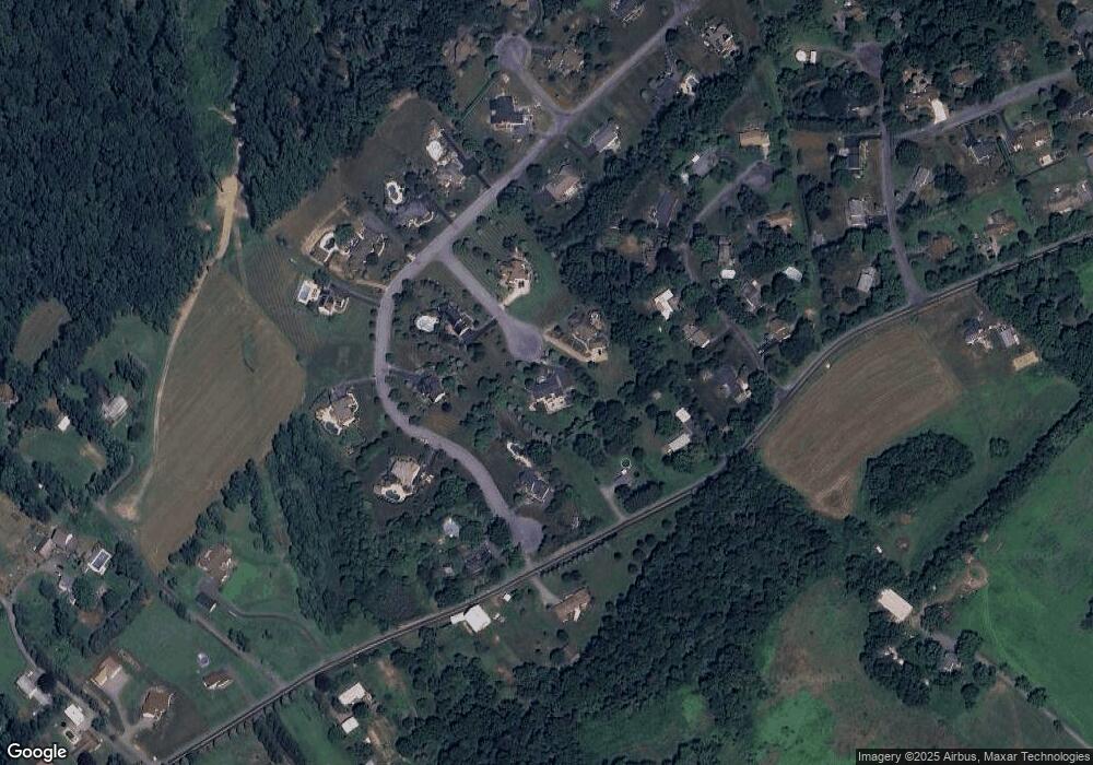
Map
Nearby Homes
- 975 Hillcrest Dr S
- 5722 Kings Hwy S
- 5761 Chestnut St
- 830 E Main St
- 98 Maple St
- 6033 Fountain Rd
- 66 Maple St
- 725 E Main St
- 4835 Shimerville Rd
- 5209 Homestead Cir
- 5061 Wendi Dr W
- Lot 1 Mountain Rd
- 6335 Sweetbriar Ln
- 0 Mountain Lot 1
- 6709 Mountain Rd
- 213 E Main St
- 4245 Tank Farm Rd
- 99 S Church St
- 6176 Ridge Rd
- 6470 Scenic View Dr
- 5260 Deer Trail Cir
- 6028 Stag Dr
- 5995 Saint Peters Rd
- 5973 Saint Peters Rd
- 6024 Stag Dr
- 5154 Laurie Dr
- 5255 Deer Trail Cir
- 5182 Laurie Dr
- 5250 Deer Trail Cir
- 5144 Laurie Dr
- 5220 Laurie Dr
- 0 Laurie Dr
- 6023 Stag Dr
- 6071 Saint Peters Rd
- 6002 Stag Dr
- 5126 Laurie Dr
- 6002 Saint Peters Rd
- 6019 Stag Dr
- 5143 Laurie Dr
- 5183 Laurie Dr