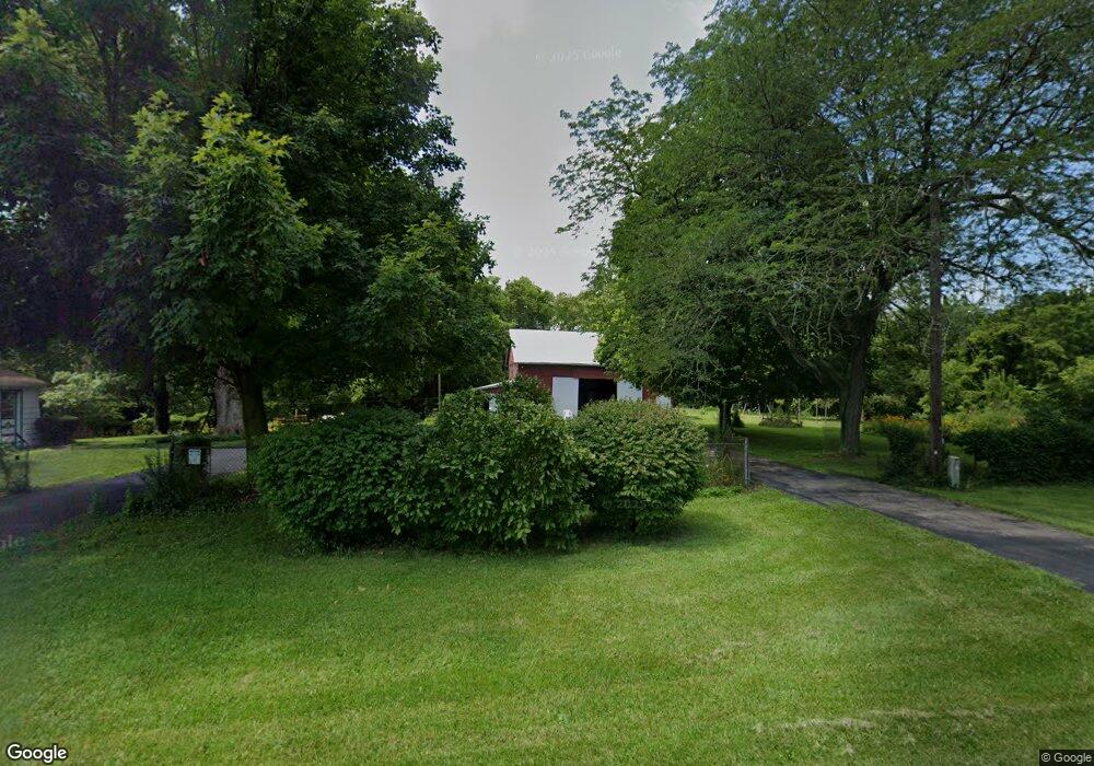
5265 State Route 122 S West Alexandria, OH 45381
Estimated Value: $276,000 - $337,000
4
Beds
3
Baths
2,152
Sq Ft
$139/Sq Ft
Est. Value
About This Home
This home is located at 5265 State Route 122 S, West Alexandria, OH 45381 and is currently estimated at $298,403, approximately $138 per square foot. 5265 State Route 122 S is a home located in Preble County with nearby schools including Twin Valley South Elementary School, Twin Valley South Middle School, and Twin Valley South High School.
Ownership History
Date
Name
Owned For
Owner Type
Purchase Details
Closed on
May 15, 2019
Bought by
Carlson Anna A
Current Estimated Value
Purchase Details
Closed on
Apr 15, 2005
Sold by
Carlson Richard S and Carlson Anna A
Bought by
Carlson Richard S and Carlson Anna A
Create a Home Valuation Report for This Property
The Home Valuation Report is an in-depth analysis detailing your home's value as well as a comparison with similar homes in the area
Home Values in the Area
Average Home Value in this Area
Purchase History
| Date | Buyer | Sale Price | Title Company |
|---|---|---|---|
| Carlson Anna A | -- | -- | |
| Carlson Richard S | -- | None Available |
Source: Public Records
Tax History Compared to Growth
Tax History
| Year | Tax Paid | Tax Assessment Tax Assessment Total Assessment is a certain percentage of the fair market value that is determined by local assessors to be the total taxable value of land and additions on the property. | Land | Improvement |
|---|---|---|---|---|
| 2024 | $1,427 | $49,670 | $12,220 | $37,450 |
| 2023 | $1,427 | $49,670 | $12,220 | $37,450 |
| 2022 | $1,133 | $38,360 | $11,340 | $27,020 |
| 2021 | $1,224 | $38,360 | $11,340 | $27,020 |
| 2020 | $1,175 | $38,360 | $11,340 | $27,020 |
| 2019 | $930 | $31,220 | $9,450 | $21,770 |
| 2018 | $961 | $31,220 | $9,450 | $21,770 |
| 2017 | $859 | $31,220 | $9,450 | $21,770 |
| 2016 | $858 | $30,840 | $9,210 | $21,630 |
| 2014 | $392 | $30,840 | $9,210 | $21,630 |
| 2013 | $392 | $27,230 | $9,205 | $18,025 |
Source: Public Records
Map
Nearby Homes
- 6394 E Carlton Rd
- 3292 Twin Creek Rd
- 4801 Fisher Twin Rd
- 1568 Wolf Rd
- 6171 Somers Gratis Rd
- 759 Barnetts Mill Rd
- 1389 Leon Dr
- 725 Sr
- 177 Sample Rd
- 61 Central Ave
- 37 Smith St
- 3412 Ohio 122
- 12320 Ohio 122
- 36 E 3rd St
- 11756 Ohio 122
- 212 E 3rd St
- 99 Katherine Dr
- 325 Chestnut Dr
- 335 Frizzell Ave
- 103 Katherine Ct
- 5450 State Route 122 S
- 5787 State Route 122 S
- 5777 State Route 122 S
- 5450 State Route 122 S
- 5415 State Route 122 S
- 5440 Old State Route 122 S
- 5440 State Route 122 S
- 5872 State Route 122 S
- 5804 State Route 122 S
- 6387 State Route 122 S
- 5149 Ray Rd
- 5787 S St Rt 122
- 5786 State Route 122 S
- 6629 State Route 122 S
- 4650 Carlton Rd
- 4650 E Carlton Rd
- 4666 Quaker Trace Rd
- 5738 State Route 122 S
- 4754 Quaker Trace Rd
- 4201 Sharpsburg Rd