5265 W Kevin Dr Bridgman, MI 49106
Estimated Value: $710,000 - $798,593
3
Beds
3
Baths
1,945
Sq Ft
$388/Sq Ft
Est. Value
About This Home
This home is located at 5265 W Kevin Dr, Bridgman, MI 49106 and is currently estimated at $755,398, approximately $388 per square foot. 5265 W Kevin Dr is a home located in Berrien County with nearby schools including Bridgman Elementary School, F.C. Reed Middle School, and Bridgman High School.
Ownership History
Date
Name
Owned For
Owner Type
Purchase Details
Closed on
Feb 7, 2023
Sold by
Stewart Kimberly
Bought by
Kimberly Stewart Living Trust
Current Estimated Value
Purchase Details
Closed on
Nov 2, 2019
Sold by
Stewart Amy
Bought by
Stewart Amy and Amy Stewart Trust
Purchase Details
Closed on
Oct 30, 2019
Sold by
Tracy Beth Stewart
Bought by
Stewart Kimberly and Stewart Amy
Purchase Details
Closed on
Oct 29, 2019
Sold by
Stewart Kimberly
Bought by
Stewart Kimberly and Kimberly Stewart Living Trust
Purchase Details
Closed on
Aug 31, 2006
Sold by
Stewart Shirley M
Bought by
Stewart Robert C and Shirley M Stewart Qualified Personal Res
Purchase Details
Closed on
Aug 1, 2006
Sold by
Stewart Robert C
Bought by
Stewart Shirley M
Create a Home Valuation Report for This Property
The Home Valuation Report is an in-depth analysis detailing your home's value as well as a comparison with similar homes in the area
Home Values in the Area
Average Home Value in this Area
Purchase History
| Date | Buyer | Sale Price | Title Company |
|---|---|---|---|
| Kimberly Stewart Living Trust | -- | -- | |
| Stewart Kimberly | -- | -- | |
| Stewart Amy | -- | -- | |
| Stewart Amy | -- | None Available | |
| Stewart Kimberly | -- | None Available | |
| Stewart Kimberly | -- | None Available | |
| Stewart Kimberly | -- | None Available | |
| Stewart Kimberly | -- | None Available | |
| Stewart Robert C | -- | None Available | |
| Stewart Shirley M | -- | None Available |
Source: Public Records
Tax History Compared to Growth
Tax History
| Year | Tax Paid | Tax Assessment Tax Assessment Total Assessment is a certain percentage of the fair market value that is determined by local assessors to be the total taxable value of land and additions on the property. | Land | Improvement |
|---|---|---|---|---|
| 2025 | $8,081 | $375,600 | $0 | $0 |
| 2024 | $7,859 | $281,900 | $0 | $0 |
| 2023 | $7,406 | $244,400 | $0 | $0 |
| 2022 | $7,054 | $214,700 | $0 | $0 |
| 2021 | $6,961 | $228,000 | $39,300 | $188,700 |
| 2020 | $6,884 | $244,500 | $0 | $0 |
| 2019 | $6,765 | $226,800 | $0 | $0 |
| 2018 | $6,602 | $224,500 | $0 | $0 |
| 2017 | $6,490 | $220,800 | $0 | $0 |
| 2016 | $6,375 | $180,500 | $0 | $0 |
| 2015 | $6,356 | $201,000 | $0 | $0 |
| 2014 | $6,080 | $156,000 | $33,200 | $122,800 |
Source: Public Records
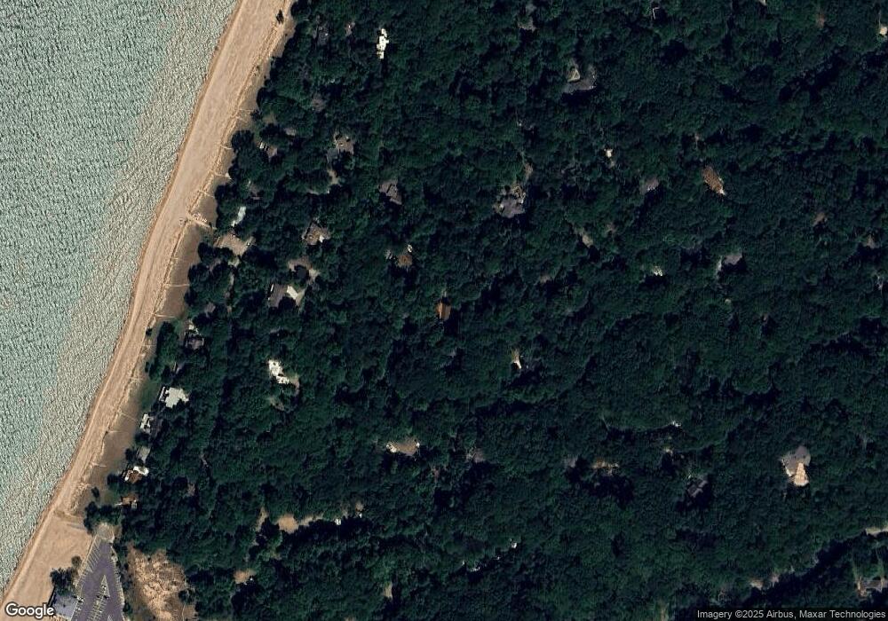
Map
Nearby Homes
- 0 Twin Oaks Rd Unit 25051559
- 9922 Weko Dr
- 9182 Hemlock Ln
- 9555 Dunewood Dr
- 10051 Weko Dr
- 9435 Kramer Dr Unit 4
- 9419 Kramer Dr Unit 5
- 00 Red Arrow Hwy
- 9729 Red Arrow Hwy Unit 11
- 9729 Red Arrow Hwy Unit 10
- 9729 Red Arrow Hwy Unit 12
- 9729 Red Arrow Hwy Unit 13
- 9709 Red Arrow Hwy Unit 5
- 9709 Red Arrow Hwy Unit 7
- 9709 Red Arrow Hwy Unit 6
- 9709 Red Arrow Hwy Unit 4
- 9709 Red Arrow Hwy Unit 3
- 9709 Red Arrow Hwy Unit 2
- 9709 Red Arrow Hwy Unit 1
- 0a Red Arrow Hwy
- 5251 Kevan Dr
- 5270 Kevan Dr
- 5252 Kevan Dr
- 5159 Kevan Dr
- 9560 Hillside Dr
- 9590 Hillside Dr
- 9520 Hillside Dr
- 5255 Norton Ln
- 5189 Norton Ln
- 9680 Circle Dr
- 9670 Circle Dr
- 9561 Hillside Dr
- 9652 Circle Dr
- 9577 Hillside Dr
- 9644 Circle Dr
- 9660 Circle Dr
- 9630 Concetta Dr
- 9690 Circle Dr
- 9636 Circle Dr
- 9591 Hillside Dr