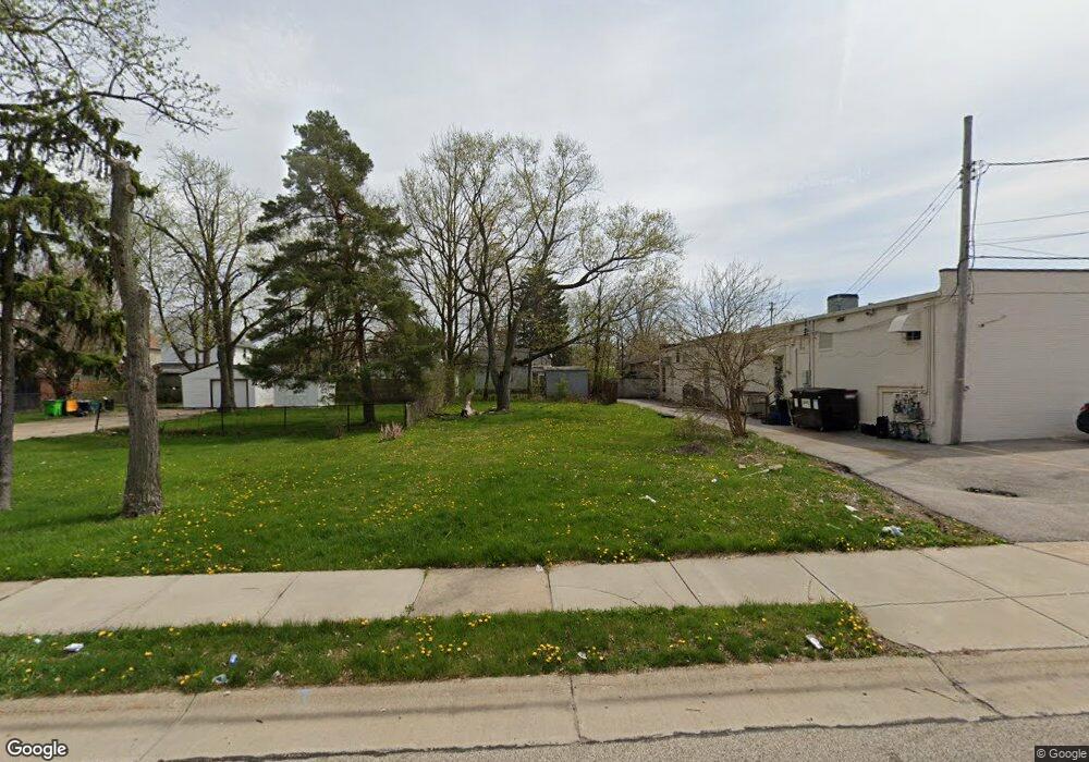
5267 Milo Ave Maple Heights, OH 44137
Estimated Value: $58,000
2
Beds
1
Bath
932
Sq Ft
$62/Sq Ft
Est. Value
About This Home
This home is located at 5267 Milo Ave, Maple Heights, OH 44137 and is currently priced at $58,000, approximately $62 per square foot. 5267 Milo Ave is a home located in Cuyahoga County with nearby schools including Abraham Lincoln Elementary School, Rockside/ J.F. Kennedy School, and Barack Obama School.
Ownership History
Date
Name
Owned For
Owner Type
Purchase Details
Closed on
Jun 24, 2020
Sold by
Cuyahoga County Land Reutilization Corp
Bought by
City Of Maple Heights Land Reutilization
Current Estimated Value
Purchase Details
Closed on
Mar 28, 2015
Sold by
Deutsche Bank National Trust Company
Bought by
Cuyahoga County Land Reutilization Corpo
Purchase Details
Closed on
Jan 28, 2015
Sold by
Waddell Ted
Bought by
Deutsche Bank National Trust Company
Purchase Details
Closed on
Sep 27, 1994
Sold by
Roberts Dorothy E
Bought by
Waddell Ted
Purchase Details
Closed on
Jan 1, 1975
Bought by
Roberts Dorothy E
Create a Home Valuation Report for This Property
The Home Valuation Report is an in-depth analysis detailing your home's value as well as a comparison with similar homes in the area
Home Values in the Area
Average Home Value in this Area
Purchase History
| Date | Buyer | Sale Price | Title Company |
|---|---|---|---|
| City Of Maple Heights Land Reutilization | -- | None Available | |
| Cuyahoga County Land Reutilization Corpo | $50,600 | Attorney | |
| Deutsche Bank National Trust Company | $12,000 | Attorney | |
| Waddell Ted | $23,500 | -- | |
| Roberts Dorothy E | -- | -- |
Source: Public Records
Tax History Compared to Growth
Tax History
| Year | Tax Paid | Tax Assessment Tax Assessment Total Assessment is a certain percentage of the fair market value that is determined by local assessors to be the total taxable value of land and additions on the property. | Land | Improvement |
|---|---|---|---|---|
| 2024 | -- | $700 | $700 | -- |
| 2022 | $0 | $3,780 | $3,780 | $0 |
| 2021 | $0 | $3,780 | $3,780 | $0 |
| 2020 | $139 | $2,870 | $2,870 | $0 |
| 2019 | $61 | $0 | $0 | $0 |
| 2018 | $61 | $2,870 | $2,870 | $0 |
| 2017 | $122 | $0 | $0 | $0 |
| 2016 | $0 | $0 | $0 | $0 |
| 2015 | $2,226 | $0 | $0 | $0 |
| 2014 | $2,226 | $17,720 | $3,750 | $13,970 |
Source: Public Records
Map
Nearby Homes
- 5312 E 141st St
- 13601 Granger Rd
- 14567 Pease Rd
- 5310 Kohout St
- 5362 Roland Dr
- 13417 Granger Rd
- 15095 Granger Rd
- 13005 Oak St
- 12908 Oak St
- 5107 E 131st St
- 5372 E 131st St
- 5392 E 131st St
- 5100 Greenhurst Dr
- 5499 E 141st St
- 12816 Mccracken Rd
- 14405 Corridon Ave
- 13009 Oak Park Blvd
- 13300 Shady Oak Blvd
- 13206 Shady Oak Blvd
- 13601 Eastwood Blvd