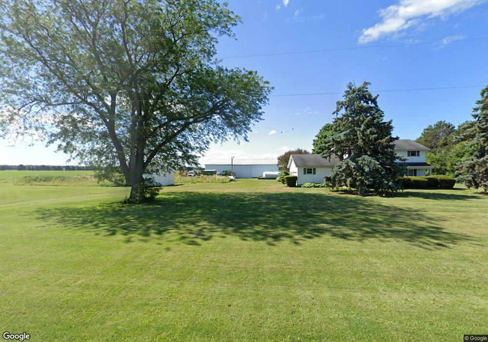
5267 State Route 412 Vickery, OH 43464
Estimated Value: $327,000 - $346,000
4
Beds
2
Baths
2,016
Sq Ft
$166/Sq Ft
Est. Value
About This Home
This home is located at 5267 State Route 412, Vickery, OH 43464 and is currently estimated at $334,237, approximately $165 per square foot. 5267 State Route 412 is a home located in Sandusky County with nearby schools including Margaretta Elementary School and Margaretta High School.
Ownership History
Date
Name
Owned For
Owner Type
Purchase Details
Closed on
Aug 25, 2025
Sold by
Marian J Pfeiffer Revocable Trust and Pfeiffer James L
Bought by
Myers Zane R and Myers Kelsey N
Current Estimated Value
Home Financials for this Owner
Home Financials are based on the most recent Mortgage that was taken out on this home.
Original Mortgage
$230,000
Outstanding Balance
$229,801
Interest Rate
6.72%
Mortgage Type
Credit Line Revolving
Estimated Equity
$104,436
Purchase Details
Closed on
Oct 16, 2023
Sold by
Pfeiffer James L
Bought by
Pfeiffer James L and Pfeiffer Joseph C
Purchase Details
Closed on
Jun 14, 2001
Sold by
Est Joan Scott
Bought by
Pfeiffer David C
Purchase Details
Closed on
Sep 1, 1986
Bought by
Pfeiffer Marian J
Create a Home Valuation Report for This Property
The Home Valuation Report is an in-depth analysis detailing your home's value as well as a comparison with similar homes in the area
Home Values in the Area
Average Home Value in this Area
Purchase History
| Date | Buyer | Sale Price | Title Company |
|---|---|---|---|
| Myers Zane R | $330,000 | Southern Title | |
| Pfeiffer James L | -- | None Listed On Document | |
| Pfeiffer James L | -- | None Listed On Document | |
| Pfeiffer David C | $15,802 | -- | |
| Pfeiffer Marian J | -- | -- |
Source: Public Records
Mortgage History
| Date | Status | Borrower | Loan Amount |
|---|---|---|---|
| Open | Myers Zane R | $230,000 |
Source: Public Records
Tax History Compared to Growth
Tax History
| Year | Tax Paid | Tax Assessment Tax Assessment Total Assessment is a certain percentage of the fair market value that is determined by local assessors to be the total taxable value of land and additions on the property. | Land | Improvement |
|---|---|---|---|---|
| 2024 | $3,170 | $99,960 | $39,410 | $60,550 |
| 2023 | $3,170 | $78,720 | $31,050 | $47,670 |
| 2022 | $2,175 | $78,720 | $31,050 | $47,670 |
| 2021 | $2,155 | $78,720 | $31,050 | $47,670 |
| 2020 | $2,158 | $69,650 | $26,880 | $42,770 |
| 2019 | $2,163 | $69,650 | $26,880 | $42,770 |
| 2018 | $2,270 | $69,650 | $26,880 | $42,770 |
| 2017 | $2,274 | $65,630 | $25,660 | $39,970 |
| 2016 | $2,223 | $65,630 | $25,660 | $39,970 |
| 2015 | $2,195 | $65,630 | $25,660 | $39,970 |
| 2014 | $2,216 | $64,090 | $22,190 | $41,900 |
| 2013 | $2,151 | $64,090 | $22,190 | $41,900 |
Source: Public Records
Map
Nearby Homes
- 0 County Rd 260 Rd Unit 5061556
- 1766 County Road 260 Elm St
- 710 N State Route 510
- 3850 County Road 231
- 5943 County Road 279
- 550 County Road 242
- 810 N Main St
- 0 Ohio 101
- 0 W Mcpherson Hwy
- 625 Ames St
- 0 Ames St
- 1337 E Sr 20
- 117 Nelson St
- 761 N Woodland Ave
- 118 E Buckeye St
- 1270 W Mcpherson Hwy
- 0 Durnwald Dr
- CR 260 89.6 acres Durnwald Dr
- 1420 County Road 302 Unit 14
- 248 Ott St
- 0 Ohio 412
- 5391 Ohio 412
- 5391 State Route 412
- 5411 State Route 412
- 5427 State Route 412
- 205 Bellevue
- 987 County Road 268
- 5085 State Route 412
- 1212 County Road 268
- 5500 State Route 412
- 1273 County Road 268
- 1315 County Road 272
- 1302 County Road 268
- 5394 County Road 237
- 5187 County Road 237
- 5160 County Road 237
- 865 County Road 268
- 5407 County Road 237
- 1410 County Road 272
- 1352 County Road 268