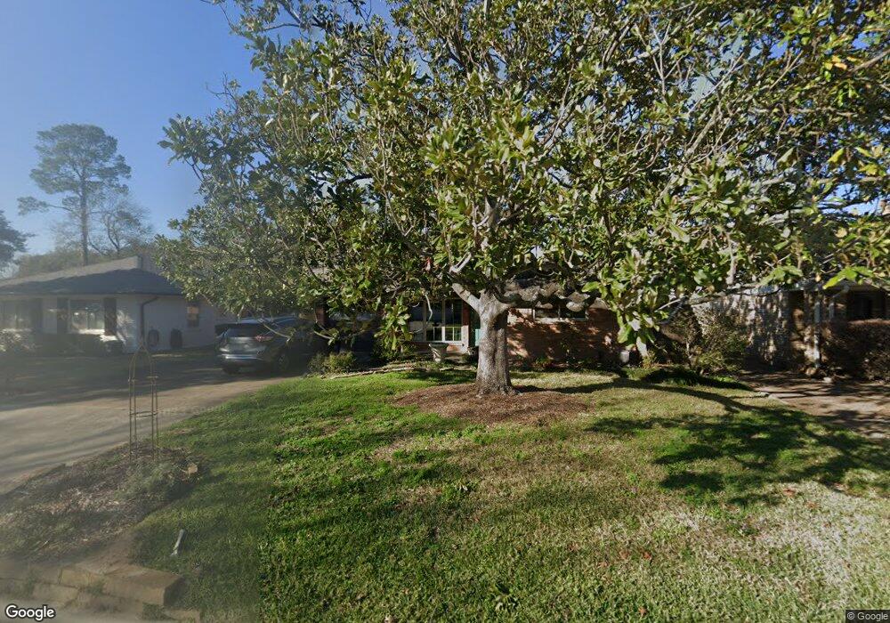
527 Azaleadell Dr Houston, TX 77018
Oak Forest-Garden Oaks NeighborhoodEstimated Value: $563,254 - $597,000
2
Beds
1
Bath
1,858
Sq Ft
$313/Sq Ft
Est. Value
About This Home
This home is located at 527 Azaleadell Dr, Houston, TX 77018 and is currently estimated at $581,564, approximately $313 per square foot. 527 Azaleadell Dr is a home located in Harris County with nearby schools including Garden Oaks Montessori, Frank Black Middle School, and Waltrip High School.
Ownership History
Date
Name
Owned For
Owner Type
Purchase Details
Closed on
Mar 6, 2001
Sold by
Thompson Loyce
Bought by
Markesich Diane C
Current Estimated Value
Home Financials for this Owner
Home Financials are based on the most recent Mortgage that was taken out on this home.
Original Mortgage
$139,350
Outstanding Balance
$51,386
Interest Rate
7.19%
Estimated Equity
$530,178
Create a Home Valuation Report for This Property
The Home Valuation Report is an in-depth analysis detailing your home's value as well as a comparison with similar homes in the area
Home Values in the Area
Average Home Value in this Area
Purchase History
| Date | Buyer | Sale Price | Title Company |
|---|---|---|---|
| Markesich Diane C | -- | American Title Co |
Source: Public Records
Mortgage History
| Date | Status | Borrower | Loan Amount |
|---|---|---|---|
| Open | Markesich Diane C | $139,350 |
Source: Public Records
Tax History Compared to Growth
Tax History
| Year | Tax Paid | Tax Assessment Tax Assessment Total Assessment is a certain percentage of the fair market value that is determined by local assessors to be the total taxable value of land and additions on the property. | Land | Improvement |
|---|---|---|---|---|
| 2025 | $8,283 | $592,959 | $443,858 | $149,101 |
| 2024 | $8,283 | $553,146 | $336,473 | $216,673 |
| 2023 | $8,283 | $496,136 | $286,360 | $209,776 |
| 2022 | $10,277 | $466,751 | $286,360 | $180,391 |
| 2021 | $10,617 | $455,518 | $286,360 | $169,158 |
| 2020 | $11,124 | $469,390 | $286,360 | $183,030 |
| 2019 | $10,567 | $417,614 | $178,975 | $238,639 |
| 2018 | $7,921 | $404,186 | $178,975 | $225,211 |
| 2017 | $10,220 | $404,186 | $178,975 | $225,211 |
| 2016 | $9,960 | $404,186 | $178,975 | $225,211 |
| 2015 | $4,959 | $307,833 | $178,975 | $128,858 |
| 2014 | $4,959 | $289,081 | $178,975 | $110,106 |
Source: Public Records
Map
Nearby Homes
- 535 Azaleadell Dr
- 702 Azaleadell Dr
- 752 Curtin St
- 750 Curtin St
- 748 Curtin St
- 744 Curtin St
- 742 Curtin St
- 9388 Plan at Thornton Oaks
- 9384 Plan at Thornton Oaks
- 4510 Curtin Park Ct
- 719 Thornton Rd Unit B
- 719 Thornton Rd Unit E
- 719 Thornton Rd Unit A
- 719 Thornton Rd Unit F
- 811 Thornton Rd Unit B
- 817 Thornton Rd Unit G
- 739 Azaleadell Dr
- 812 Thornton Rd Unit B
- 814 Azalea St
- 808 Woodcrest Dr Unit A
- 531 Azaleadell Dr
- 519 Azaleadell Dr
- 522 Azaleadell Dr
- 515 Azaleadell Dr
- 518 Azaleadell Dr
- 530 Azaleadell Dr
- 539 Azaleadell Dr
- 514 Azaleadell Dr
- 803 Curtin St
- 811 Curtin St
- 511 Azaleadell Dr
- 510 Azaleadell Dr
- 603 Azaleadell Dr
- 702 Sleepyvale Ln
- 710 Sleepyvale Ln
- 716 Sleepyvale Ln
- 507 Azaleadell Dr
- 607 Azaleadell Dr
- 506 Azaleadell Dr
- 722 Sleepyvale Ln