527 Breckenridge Rd Branson, MO 65616
Garber NeighborhoodEstimated Value: $196,691 - $538,000
2
Beds
--
Bath
4,503
Sq Ft
$71/Sq Ft
Est. Value
About This Home
This home is located at 527 Breckenridge Rd, Branson, MO 65616 and is currently estimated at $320,230, approximately $71 per square foot. 527 Breckenridge Rd is a home located in Taney County with nearby schools including Buchanan Intermediate School, Buchanan Elementary School, and Branson Junior High School.
Ownership History
Date
Name
Owned For
Owner Type
Purchase Details
Closed on
Dec 28, 2016
Sold by
Knittel Lynda G
Bought by
Womack Robert W and Womack Robert
Current Estimated Value
Purchase Details
Closed on
Jul 15, 2010
Sold by
Knittel Lynda G
Bought by
Knittel Lynda G and Womack Robert
Home Financials for this Owner
Home Financials are based on the most recent Mortgage that was taken out on this home.
Original Mortgage
$110,000
Interest Rate
4.78%
Mortgage Type
Future Advance Clause Open End Mortgage
Create a Home Valuation Report for This Property
The Home Valuation Report is an in-depth analysis detailing your home's value as well as a comparison with similar homes in the area
Home Values in the Area
Average Home Value in this Area
Purchase History
| Date | Buyer | Sale Price | Title Company |
|---|---|---|---|
| Womack Robert W | -- | None Available | |
| Knittel Lynda G | -- | Hogan Land Title |
Source: Public Records
Mortgage History
| Date | Status | Borrower | Loan Amount |
|---|---|---|---|
| Previous Owner | Knittel Lynda G | $110,000 |
Source: Public Records
Tax History Compared to Growth
Tax History
| Year | Tax Paid | Tax Assessment Tax Assessment Total Assessment is a certain percentage of the fair market value that is determined by local assessors to be the total taxable value of land and additions on the property. | Land | Improvement |
|---|---|---|---|---|
| 2025 | $805 | $25,410 | -- | -- |
| 2023 | $805 | $15,520 | $0 | $0 |
| 2022 | $783 | $15,520 | $0 | $0 |
| 2021 | $778 | $15,520 | $0 | $0 |
| 2019 | $734 | $14,260 | $0 | $0 |
| 2018 | $735 | $14,260 | $0 | $0 |
| 2017 | $728 | $14,260 | $0 | $0 |
| 2016 | $726 | $14,260 | $0 | $0 |
| 2015 | $720 | $14,260 | $0 | $0 |
| 2014 | $552 | $8,870 | $0 | $0 |
Source: Public Records
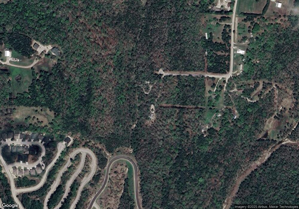
Map
Nearby Homes
- 142/143 Country Ridge Way
- Lot 143 Country Ridge Way
- Lot 142 Country Ridge Way
- 225 Blossom Valley
- 211 Shadowview Dr
- 160 Shadow Lake Dr
- 124 David Shawn Dr
- 140 David Shawn Dr
- 315 Toni Ln Unit 2
- 000 State Highway 248
- Tract 1 State Highway 248
- 770 Mills Hollow Rd
- 121 Toni Ln Unit 1-4
- 121 Vista View Dr Unit A
- 112b Vista View Dr
- 113 Vista View Dr Unit B
- 115 Vista View Dr Unit B
- Tbd Spy Glass Dr
- 128 Pebble Beach Dr
- Lt 12 Pebble Beach Dr
- 533 Breckenridge Rd
- 391 Breckenridge Rd
- 128 Kynion Ct
- 359 Breckenridge Rd
- 355 Breckenridge Rd
- 229 Redwine Cir
- 297 Breckenridge Rd
- 103 Country Cir
- 229 Redwine Cir
- 227 Redwine Cir
- 225 Redwine Ave
- 377 Whippoorwill Ln
- 224 Redwine Ave
- 0 Breckenridge Rd
- 223 Redwine Ave
- 239 Redwine Cir
- 285 Breckenridge
- 222 Redwine Ave
- 218 Redwine Ave
- 111 N Ridge Place