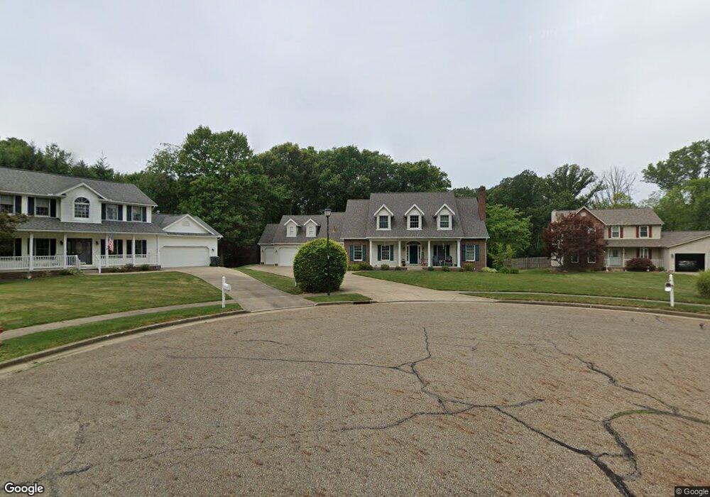
527 Brookfield Cir Louisville, OH 44641
Estimated Value: $350,000 - $474,000
4
Beds
4
Baths
3,350
Sq Ft
$123/Sq Ft
Est. Value
About This Home
This home is located at 527 Brookfield Cir, Louisville, OH 44641 and is currently estimated at $411,644, approximately $122 per square foot. 527 Brookfield Cir is a home located in Stark County with nearby schools including Louisville High School and St. Thomas Aquinas High School & Middle School.
Ownership History
Date
Name
Owned For
Owner Type
Purchase Details
Closed on
Nov 8, 2002
Sold by
Zwick Ipson Theresa E and Ipson Steven
Bought by
Moore David L and Moore Mary Lynn
Current Estimated Value
Home Financials for this Owner
Home Financials are based on the most recent Mortgage that was taken out on this home.
Original Mortgage
$171,000
Interest Rate
6.13%
Purchase Details
Closed on
Aug 8, 1997
Sold by
Rich Michael J
Bought by
Zeick Theresa E
Create a Home Valuation Report for This Property
The Home Valuation Report is an in-depth analysis detailing your home's value as well as a comparison with similar homes in the area
Home Values in the Area
Average Home Value in this Area
Purchase History
| Date | Buyer | Sale Price | Title Company |
|---|---|---|---|
| Moore David L | $236,000 | -- | |
| Zeick Theresa E | $19,676 | -- |
Source: Public Records
Mortgage History
| Date | Status | Borrower | Loan Amount |
|---|---|---|---|
| Closed | Moore David L | $171,000 |
Source: Public Records
Tax History Compared to Growth
Tax History
| Year | Tax Paid | Tax Assessment Tax Assessment Total Assessment is a certain percentage of the fair market value that is determined by local assessors to be the total taxable value of land and additions on the property. | Land | Improvement |
|---|---|---|---|---|
| 2025 | -- | $132,090 | $27,930 | $104,160 |
| 2024 | -- | $132,090 | $27,930 | $104,160 |
| 2023 | $4,572 | $106,160 | $26,320 | $79,840 |
| 2022 | $4,580 | $106,160 | $26,320 | $79,840 |
| 2021 | $4,592 | $106,160 | $26,320 | $79,840 |
| 2020 | $3,927 | $98,490 | $23,730 | $74,760 |
| 2019 | $3,944 | $94,080 | $19,320 | $74,760 |
| 2018 | $2,983 | $75,040 | $19,320 | $55,720 |
| 2017 | $2,810 | $68,220 | $16,980 | $51,240 |
| 2016 | $2,868 | $68,220 | $16,980 | $51,240 |
| 2015 | $2,876 | $68,220 | $16,980 | $51,240 |
| 2014 | $674 | $58,950 | $14,670 | $44,280 |
| 2013 | $1,341 | $58,950 | $14,670 | $44,280 |
Source: Public Records
Map
Nearby Homes
- 1812 E Broad St
- 1715 High St
- 2110 Edmar St
- 2015 E Main St
- 641 S Nickelplate St
- 0 Michigan Blvd
- 308 Superior St
- 520 S Silver St
- 3390 Meese Rd NE
- 728 E Broad St
- 908 Sand Lot Cir
- 510 S Bauman Ct
- 204 E Broad St
- 1170 Winding Ridge Ave
- 325 Lincoln Ave
- 107 E Broad St
- 910 Crosswyck Cir
- 8225 Georgetown St
- 5495 Meese Rd NE
- 1702 View Pointe Ave
- 531 Brookfield Cir
- 523 Brookfield Cir
- 532 Brookfield Cir
- 528 Brookfield Cir
- 513 Brookfield St
- 524 Brookfield Cir
- 2020 Ashbrook Ave
- 2002 Ashbrook Ave
- 510 Brookfield St
- 2114 Ashbrook Ave
- 2000 Ashbrook Ave
- 2134 Ashbrook Ave
- 2015 Briarwood St
- 2005 Briarwood St
- 2105 Briarwood St
- 425 Brookfield St
- 2007 Ashbrook Ave
- 422 Brookfield St
- 1925 Briarwood St
- 2135 Ashbrook Ave