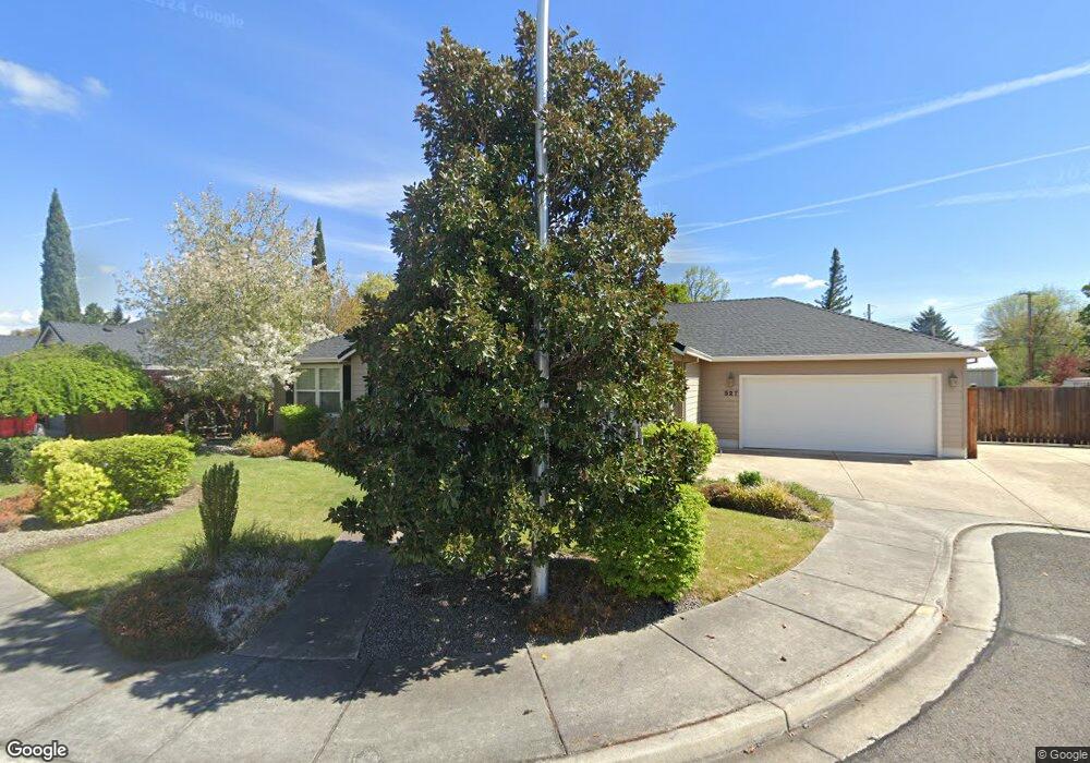
527 Brookside Ln Central Point, OR 97502
Estimated Value: $488,000 - $522,000
3
Beds
5
Baths
2,051
Sq Ft
$245/Sq Ft
Est. Value
About This Home
This home is located at 527 Brookside Ln, Central Point, OR 97502 and is currently estimated at $502,991, approximately $245 per square foot. 527 Brookside Ln is a home located in Jackson County with nearby schools including Richardson Elementary School, Scenic Middle School, and Crater High School.
Ownership History
Date
Name
Owned For
Owner Type
Purchase Details
Closed on
Sep 17, 2015
Sold by
Frederick Debra L
Bought by
Frederick Debra L and Debra L Frederick Trust
Current Estimated Value
Purchase Details
Closed on
Jul 19, 2004
Sold by
Davis Richard B and Davis Rhonda L
Bought by
Frederick Debra L
Home Financials for this Owner
Home Financials are based on the most recent Mortgage that was taken out on this home.
Original Mortgage
$294,000
Outstanding Balance
$144,209
Interest Rate
6.27%
Mortgage Type
Purchase Money Mortgage
Estimated Equity
$358,782
Purchase Details
Closed on
Jul 16, 2002
Sold by
Fellows Robert E
Bought by
Davis Richard B and Davis Rhonda L
Home Financials for this Owner
Home Financials are based on the most recent Mortgage that was taken out on this home.
Original Mortgage
$171,900
Interest Rate
6.69%
Create a Home Valuation Report for This Property
The Home Valuation Report is an in-depth analysis detailing your home's value as well as a comparison with similar homes in the area
Purchase History
| Date | Buyer | Sale Price | Title Company |
|---|---|---|---|
| Frederick Debra L | -- | None Available | |
| Frederick Debra L | $294,000 | Amerititle | |
| Davis Richard B | $214,900 | Amerititle Inc |
Source: Public Records
Mortgage History
| Date | Status | Borrower | Loan Amount |
|---|---|---|---|
| Open | Frederick Debra L | $294,000 | |
| Previous Owner | Davis Richard B | $171,900 | |
| Closed | Davis Richard B | $42,950 |
Source: Public Records
Tax History
| Year | Tax Paid | Tax Assessment Tax Assessment Total Assessment is a certain percentage of the fair market value that is determined by local assessors to be the total taxable value of land and additions on the property. | Land | Improvement |
|---|---|---|---|---|
| 2026 | $4,849 | $293,040 | -- | -- |
| 2025 | $4,730 | $284,510 | $107,410 | $177,100 |
| 2024 | $4,730 | $276,230 | $104,280 | $171,950 |
| 2023 | $4,578 | $268,190 | $101,240 | $166,950 |
| 2022 | $4,471 | $268,190 | $101,240 | $166,950 |
| 2021 | $4,343 | $260,380 | $98,290 | $162,090 |
| 2020 | $4,217 | $252,800 | $95,430 | $157,370 |
| 2019 | $4,113 | $238,300 | $89,950 | $148,350 |
| 2018 | $3,987 | $231,360 | $87,330 | $144,030 |
| 2017 | $3,887 | $231,360 | $87,330 | $144,030 |
| 2016 | $3,774 | $218,090 | $82,320 | $135,770 |
| 2015 | $3,616 | $218,090 | $82,320 | $135,770 |
| 2014 | $3,524 | $205,580 | $77,600 | $127,980 |
Source: Public Records
Map
Nearby Homes
- 884 Mendolia Way
- 420 Mayberry Ln
- 3288 Grant Rd
- 209 Corcoran Ln
- 166 Nadine Ln
- 349 W Pine St
- 407 Silver Creek Dr
- 404 Silver Creek Dr
- 871 Holley Way
- 895 Holley Way
- 3371 Freeland Rd
- 185 Logan Ave
- 3307 Freeland Rd
- 3220 Freeland Rd
- 626 Griffin Oaks Dr
- 436 Cheney Loop
- 1134 Steamboat Dr
- 1189 Lindsey Ct
- 114 Cedar St
- 220 S 3rd St
- 533 Brookside Ln Unit 1
- 539 Brookside Ln Unit 93
- 539 Brookside Ln
- 3539 Hanley Rd
- 3545 Hanley Rd Unit 1
- 542 Brookside Ln
- 541 Brookside Ln
- 65 Donna Way
- 75 Donna Way
- 55 Donna Way
- 546 Brookside Ln
- 85 Donna Way
- 45 Donna Way
- 549 Brookside Ln
- 506 W Pine St
- 3521 Hanley Rd
- 550 Brookside Ln
- 540 Diego Ct
- 3542 Hanley Rd
- 545 Diego Ct Unit 1
Your Personal Tour Guide
Ask me questions while you tour the home.