527 Canton Rd Cumming, GA 30040
Estimated Value: $826,000 - $1,408,000
4
Beds
3
Baths
3,224
Sq Ft
$320/Sq Ft
Est. Value
About This Home
This home is located at 527 Canton Rd, Cumming, GA 30040 and is currently estimated at $1,031,698, approximately $320 per square foot. 527 Canton Rd is a home located in Forsyth County with nearby schools including Cumming Elementary School, Otwell Middle School, and Forsyth Central High School.
Ownership History
Date
Name
Owned For
Owner Type
Purchase Details
Closed on
Apr 1, 2002
Sold by
Pruitt D Dean D and Pruitt Jacquelyn E
Bought by
Lee R Michael R and Lee Debra E
Current Estimated Value
Home Financials for this Owner
Home Financials are based on the most recent Mortgage that was taken out on this home.
Original Mortgage
$640,000
Interest Rate
6.8%
Mortgage Type
New Conventional
Purchase Details
Closed on
Jun 2, 1999
Sold by
Boling Josephine W
Bought by
Gravit H Ford
Home Financials for this Owner
Home Financials are based on the most recent Mortgage that was taken out on this home.
Original Mortgage
$200,000
Interest Rate
6.9%
Mortgage Type
New Conventional
Create a Home Valuation Report for This Property
The Home Valuation Report is an in-depth analysis detailing your home's value as well as a comparison with similar homes in the area
Home Values in the Area
Average Home Value in this Area
Purchase History
| Date | Buyer | Sale Price | Title Company |
|---|---|---|---|
| Lee R Michael R | $658,000 | -- | |
| Gravit H Ford | $400,000 | -- |
Source: Public Records
Mortgage History
| Date | Status | Borrower | Loan Amount |
|---|---|---|---|
| Closed | Lee R Michael R | $640,000 | |
| Previous Owner | Gravit H Ford | $200,000 |
Source: Public Records
Tax History Compared to Growth
Tax History
| Year | Tax Paid | Tax Assessment Tax Assessment Total Assessment is a certain percentage of the fair market value that is determined by local assessors to be the total taxable value of land and additions on the property. | Land | Improvement |
|---|---|---|---|---|
| 2025 | $905 | $372,804 | $158,256 | $214,548 |
| 2024 | $905 | $390,600 | $180,864 | $209,736 |
| 2023 | $864 | $376,080 | $180,864 | $195,216 |
| 2022 | $957 | $204,808 | $68,164 | $136,644 |
| 2021 | $831 | $204,808 | $68,164 | $136,644 |
| 2020 | $827 | $201,076 | $68,164 | $132,912 |
| 2019 | $817 | $182,144 | $50,492 | $131,652 |
| 2018 | $840 | $175,844 | $50,492 | $125,352 |
| 2017 | $819 | $148,852 | $53,016 | $95,836 |
| 2016 | $819 | $148,852 | $53,016 | $95,836 |
| 2015 | $640 | $148,852 | $53,016 | $95,836 |
| 2014 | $731 | $123,180 | $0 | $0 |
Source: Public Records
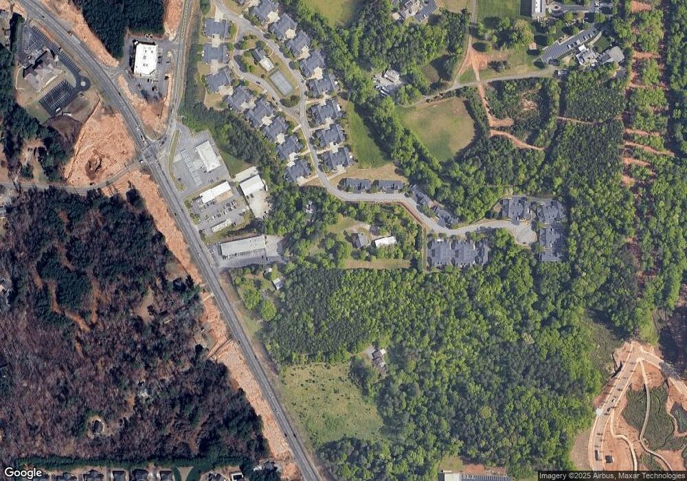
Map
Nearby Homes
- 306 Somerton Place
- 481 Sawnee Corners Dr
- - Greenwood Acres Dr
- 0 Timberlane Rd Unit 7572370
- 1835 Goldmine Dr
- 213 Pine Crest Dr
- 1725 Mountainside Dr
- 1895 Nestledown Dr
- 1515 Adair Blvd
- 804 Canton Hwy
- 102 Pine Lake Dr
- 113 Hickory Trail
- 505 Samaritan Dr
- 460 Tribble Gap Rd Unit 102
- 460 Tribble Gap Rd Unit 604
- 110 Mountain View Dr
- 310 Samaritan Dr
- 526 Sawnee Dr Unit D61
- 825 Mill Garden Place
- 523 Canton Rd
- 526 Canton Rd
- 518 Canton Hwy
- 522 Canton Rd
- 530 Canton Rd
- 537 Canton Rd
- 520 Canton Rd
- 520 Canton Rd
- 520 Canton Rd
- 1008 Somerton Place
- 1004 Somerton Place
- 537 Canton Hwy
- 1006 Somerton Place Unit 1006
- 0 Hwy 20 and Greenwood Acres Dr Unit 10.26AC 7493026
- 519 Canton Rd
- 1002 Somerton Place
- 908 Somerton Place Unit 908
- 508 Canton Rd
- 906 Somerton Place
- 808 Somerton Place Unit 808