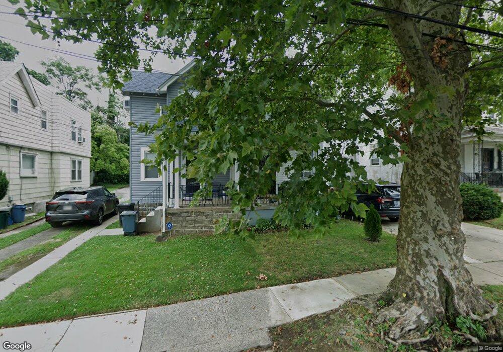
527 Cypress St Lansdowne, PA 19050
Estimated Value: $183,000 - $220,000
3
Beds
1
Bath
1,158
Sq Ft
$178/Sq Ft
Est. Value
About This Home
This home is located at 527 Cypress St, Lansdowne, PA 19050 and is currently estimated at $205,596, approximately $177 per square foot. 527 Cypress St is a home located in Delaware County with nearby schools including Evans Elementary School, Penn Wood Middle School, and Penn Wood High School - Cypress Street Campus.
Ownership History
Date
Name
Owned For
Owner Type
Purchase Details
Closed on
Feb 19, 2021
Sold by
Ryan Kirwin
Bought by
Francis Marlon and Spencer Natalie P
Current Estimated Value
Home Financials for this Owner
Home Financials are based on the most recent Mortgage that was taken out on this home.
Original Mortgage
$61,750
Outstanding Balance
$44,992
Interest Rate
2.2%
Mortgage Type
New Conventional
Estimated Equity
$160,604
Purchase Details
Closed on
Jun 1, 1989
Sold by
Malin Thomas F and Cm Shortt
Bought by
Ryan Kirwin K
Create a Home Valuation Report for This Property
The Home Valuation Report is an in-depth analysis detailing your home's value as well as a comparison with similar homes in the area
Home Values in the Area
Average Home Value in this Area
Purchase History
| Date | Buyer | Sale Price | Title Company |
|---|---|---|---|
| Francis Marlon | $65,000 | Philadelphia Abstract Co | |
| Ryan Kirwin K | $64,000 | -- |
Source: Public Records
Mortgage History
| Date | Status | Borrower | Loan Amount |
|---|---|---|---|
| Open | Francis Marlon | $61,750 |
Source: Public Records
Tax History Compared to Growth
Tax History
| Year | Tax Paid | Tax Assessment Tax Assessment Total Assessment is a certain percentage of the fair market value that is determined by local assessors to be the total taxable value of land and additions on the property. | Land | Improvement |
|---|---|---|---|---|
| 2025 | $4,177 | $97,810 | $33,350 | $64,460 |
| 2024 | $4,177 | $97,810 | $33,350 | $64,460 |
| 2023 | $3,793 | $97,810 | $33,350 | $64,460 |
| 2022 | $3,617 | $97,810 | $33,350 | $64,460 |
| 2021 | $5,469 | $97,810 | $33,350 | $64,460 |
| 2020 | $3,496 | $55,980 | $19,240 | $36,740 |
| 2019 | $3,434 | $55,980 | $19,240 | $36,740 |
| 2018 | $3,387 | $55,980 | $0 | $0 |
| 2017 | $3,316 | $55,980 | $0 | $0 |
| 2016 | $307 | $55,980 | $0 | $0 |
| 2015 | $313 | $55,980 | $0 | $0 |
| 2014 | $313 | $55,980 | $0 | $0 |
Source: Public Records
Map
Nearby Homes
- 536 Cypress St
- 407 Church Ln
- 503 Bonsall Ave
- 435 Bonsall Ave
- 1016 Whitby Ave
- 530 Orchard Ave
- 702 Cedar Ave
- 603 Penn St
- 711 Yeadon Ave Unit 1
- 1212 S Millick St
- 740 Church Ln
- 722 Yeadon Ave
- 6013 Baltimore Ave
- 1201 S Millick St
- 7026 Atlantic Ave
- 6030 Cedarhurst St
- 1214 S 60th St
- 6026 Baltimore Ave
- 6019 Wharton St
- 813 Arbor Rd