527 Eagle Fork Trail Hayesville, NC 28904
Estimated Value: $323,305 - $447,000
2
Beds
4
Baths
1,495
Sq Ft
$268/Sq Ft
Est. Value
About This Home
This home is located at 527 Eagle Fork Trail, Hayesville, NC 28904 and is currently estimated at $400,576, approximately $267 per square foot. 527 Eagle Fork Trail is a home with nearby schools including Hayesville Elementary School, Hayesville Middle School, and Hayesville High School.
Ownership History
Date
Name
Owned For
Owner Type
Purchase Details
Closed on
Nov 9, 2007
Sold by
Burch John Jason and Burch Hope R
Bought by
Mcdonald Willard Michael and Mcdonald Nancy Hayes
Current Estimated Value
Home Financials for this Owner
Home Financials are based on the most recent Mortgage that was taken out on this home.
Original Mortgage
$169,000
Outstanding Balance
$106,331
Interest Rate
6.36%
Mortgage Type
New Conventional
Estimated Equity
$294,245
Create a Home Valuation Report for This Property
The Home Valuation Report is an in-depth analysis detailing your home's value as well as a comparison with similar homes in the area
Home Values in the Area
Average Home Value in this Area
Purchase History
| Date | Buyer | Sale Price | Title Company |
|---|---|---|---|
| Mcdonald Willard Michael | $210,000 | -- |
Source: Public Records
Mortgage History
| Date | Status | Borrower | Loan Amount |
|---|---|---|---|
| Open | Mcdonald Willard Michael | $169,000 |
Source: Public Records
Tax History
| Year | Tax Paid | Tax Assessment Tax Assessment Total Assessment is a certain percentage of the fair market value that is determined by local assessors to be the total taxable value of land and additions on the property. | Land | Improvement |
|---|---|---|---|---|
| 2025 | $891 | $168,200 | $38,400 | $129,800 |
| 2024 | $891 | $168,200 | $38,400 | $129,800 |
| 2023 | $791 | $168,200 | $38,400 | $129,800 |
| 2022 | $791 | $168,200 | $38,400 | $129,800 |
| 2021 | $791 | $168,200 | $38,400 | $129,800 |
| 2020 | $791 | $168,200 | $38,400 | $129,800 |
| 2019 | $791 | $168,200 | $38,400 | $129,800 |
| 2018 | $791 | $168,200 | $38,400 | $129,800 |
| 2016 | -- | $182,896 | $50,000 | $132,896 |
| 2015 | -- | $182,896 | $50,000 | $132,896 |
| 2014 | -- | $182,896 | $50,000 | $132,896 |
Source: Public Records
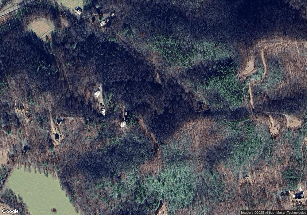
Map
Nearby Homes
- Lot 5J Eagle Fork Trail
- 2 Gabriel Ridge
- 3 Gabriel Ridge
- Lot 37M Ridges Overlook
- 39M 40M Ridges Overlook
- Lot 58M Ridges Overlook
- 1 Gabriel Ridge
- 4 Gabriel Ridge
- A&C Gabriel Ridge
- 624 Eagle Fork Summit
- 124 Mountain Meadows Dr
- 285 Mountain Meadows Dr
- 9.12-AC Mission Hill Rd
- 177 Bob Penland Rd
- 102 Hideaway Cove
- Lot 18 Mountain Meadows Dr
- 78 Hideaway Cove
- 136 W Vineyard Rd
- Tract 1A Thumping Creek Rd
- 33 Teaks Dr
- 0 Eagle Fork Trail Unit 164807
- 0 Eagle Fork Trail Unit 186005
- 0 Eagle Fork Trail Unit 155853
- 484 Eagle Fork Trail
- 424 Eagle Fork Trail
- 401 Eagle Fork Trail
- #5F Eagle Fork Trail
- 1 Eagle Fork Trail
- 282 Eagle Fork Trail
- 619 Eagle Fork Trail
- 347 Eagle Fork Trail
- 4756 Old Hwy 64 E
- 4756 Old Highway 64 E
- 220 Eagle Fork Trail
- 140 Eagle Fork Trail
- 4758 Old Highway 64 E
- 4754 Old Highway 64 E
- 355 Eagle Fork Rd
- 201 Eagle Fork Rd
- 4804 Old Highway 64 E
Your Personal Tour Guide
Ask me questions while you tour the home.