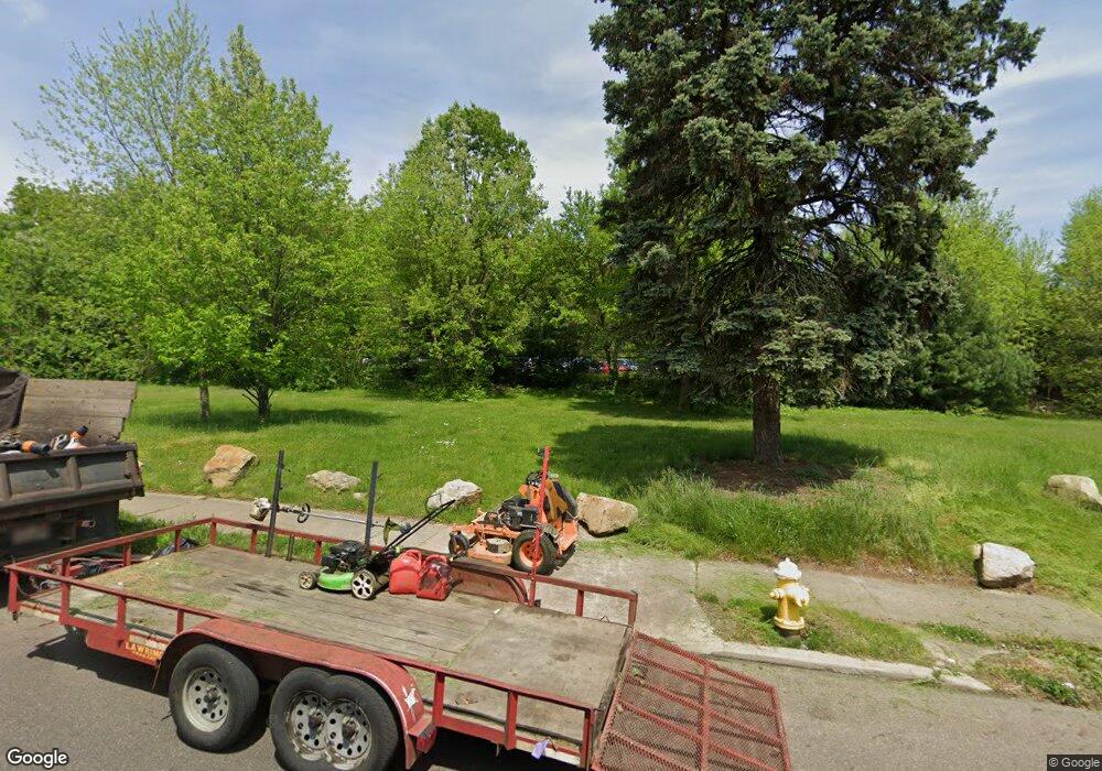
527 Euclid Ave Akron, OH 44307
Sherbondy Hill NeighborhoodEstimated Value: $68,943
3
Beds
2
Baths
1,220
Sq Ft
$57/Sq Ft
Est. Value
About This Home
This home is located at 527 Euclid Ave, Akron, OH 44307 and is currently estimated at $68,943, approximately $56 per square foot. 527 Euclid Ave is a home located in Summit County with nearby schools including Towpath Trail High School, St. Vincent Elementary School, and St. Bernard-St. Mary Elementary School.
Ownership History
Date
Name
Owned For
Owner Type
Purchase Details
Closed on
Sep 3, 2015
Sold by
Bender Francis N
Bought by
Park Akron Zoological
Current Estimated Value
Purchase Details
Closed on
Jan 23, 1998
Sold by
Miller Joseph K
Bought by
Bender Frank N
Purchase Details
Closed on
Dec 16, 1997
Sold by
Lybrook Robert S
Bought by
Miller Joseph K
Create a Home Valuation Report for This Property
The Home Valuation Report is an in-depth analysis detailing your home's value as well as a comparison with similar homes in the area
Home Values in the Area
Average Home Value in this Area
Purchase History
| Date | Buyer | Sale Price | Title Company |
|---|---|---|---|
| Park Akron Zoological | $36,000 | American Certified Title | |
| Bender Frank N | $9,500 | -- | |
| Miller Joseph K | $13,500 | -- |
Source: Public Records
Mortgage History
| Date | Status | Borrower | Loan Amount |
|---|---|---|---|
| Closed | Miller Joseph K | -- |
Source: Public Records
Tax History Compared to Growth
Tax History
| Year | Tax Paid | Tax Assessment Tax Assessment Total Assessment is a certain percentage of the fair market value that is determined by local assessors to be the total taxable value of land and additions on the property. | Land | Improvement |
|---|---|---|---|---|
| 2025 | $90 | $3,588 | $3,588 | -- |
| 2024 | $90 | $3,588 | $3,588 | -- |
| 2023 | $90 | $3,588 | $3,588 | $0 |
| 2022 | $90 | $2,111 | $2,111 | $0 |
| 2021 | $90 | $2,111 | $2,111 | $0 |
| 2020 | $90 | $2,110 | $2,110 | $0 |
| 2019 | $90 | $3,200 | $3,200 | $0 |
| 2018 | $60 | $12,420 | $3,200 | $9,220 |
| 2017 | $977 | $12,420 | $3,200 | $9,220 |
| 2016 | $978 | $12,610 | $3,200 | $9,410 |
| 2015 | $977 | $12,610 | $3,200 | $9,410 |
| 2014 | $970 | $12,610 | $3,200 | $9,410 |
| 2013 | -- | $13,340 | $3,200 | $10,140 |
Source: Public Records
Map
Nearby Homes
- 564 Euclid Ave
- 595 Rhodes Ave
- 639 Bellevue Ave
- 577 Rhodes Ave
- 670 Euclid Ave
- 817 Raymond St
- 794 Ruth Ave
- 483 Bishop St
- 492 Douglas St
- 644 Diagonal Rd
- 677 Vernon Odom Blvd
- 568 Auld Farm Cir
- 686 East Ave
- 721 Vernon Odom Blvd
- 524 Auld Farm Cir
- 364 Campbell St
- 737 Vernon Odom Blvd
- 605 East Ave
- 614 East Ave
- 949 Raymond St
- 537 Euclid Ave
- 517 Euclid Ave
- 513 Euclid Ave
- 543 Euclid Ave
- 540 Euclid Ave
- 544 Euclid Ave
- 680 Raymond St
- 548 Euclid Ave
- 684 Raymond St
- 554 Euclid Ave
- 686 Raymond St
- 556 Euclid Ave Unit 558
- 663 Mallison Ave Unit 665
- 665 Mallison Ave
- 667 Mallison Ave
- 692 Raymond St
- 694 Raymond St
- 673 Mallison Ave
- 696 Raymond St
- 671 Mallison Ave
