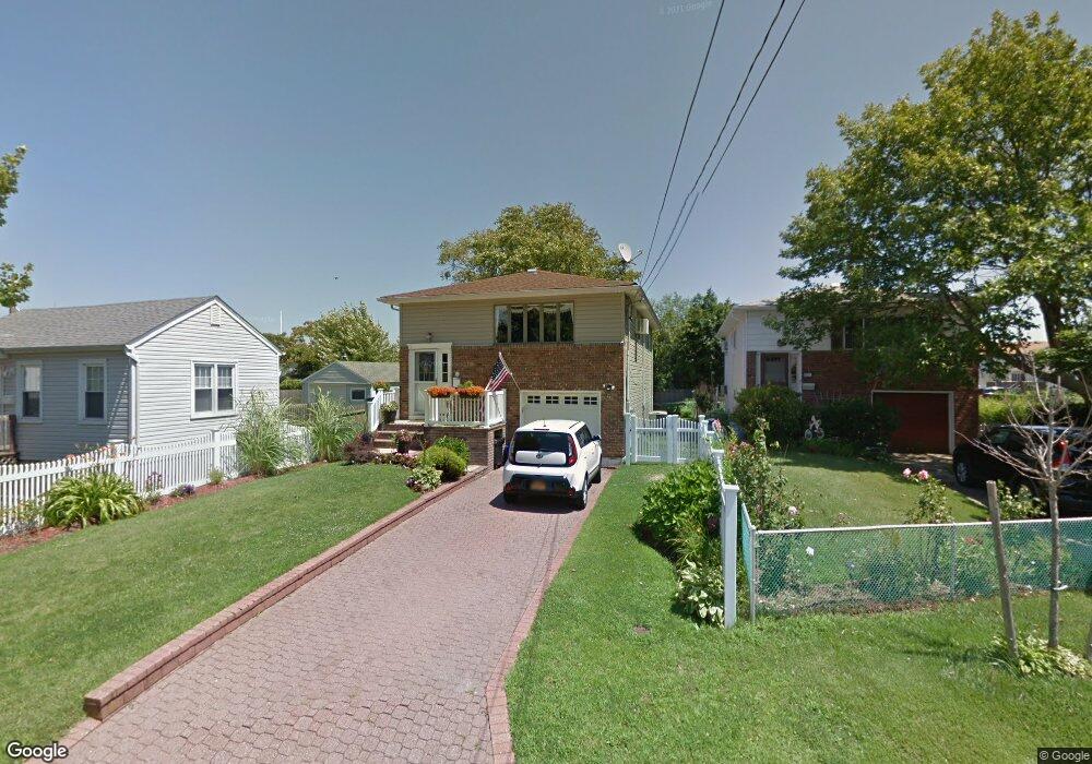
527 Fire Island Ave Babylon, NY 11702
Estimated Value: $627,000 - $771,000
--
Bed
--
Bath
1,659
Sq Ft
$431/Sq Ft
Est. Value
About This Home
This home is located at 527 Fire Island Ave, Babylon, NY 11702 and is currently estimated at $714,995, approximately $430 per square foot. 527 Fire Island Ave is a home located in Suffolk County with nearby schools including Babylon Memorial Grade School, Babylon Elementary School, and Babylon High School.
Ownership History
Date
Name
Owned For
Owner Type
Purchase Details
Closed on
May 16, 2005
Sold by
Baudille Michael
Bought by
Assip Denise
Current Estimated Value
Purchase Details
Closed on
May 26, 2000
Sold by
Krisberg Mitchell Roy
Bought by
Baudille Michael and Baudille Melanie K
Home Financials for this Owner
Home Financials are based on the most recent Mortgage that was taken out on this home.
Original Mortgage
$164,000
Interest Rate
8.48%
Create a Home Valuation Report for This Property
The Home Valuation Report is an in-depth analysis detailing your home's value as well as a comparison with similar homes in the area
Home Values in the Area
Average Home Value in this Area
Purchase History
| Date | Buyer | Sale Price | Title Company |
|---|---|---|---|
| Assip Denise | $460,000 | Tara Famularo | |
| Baudille Michael | $205,000 | Commonwealth Land Title Ins |
Source: Public Records
Mortgage History
| Date | Status | Borrower | Loan Amount |
|---|---|---|---|
| Previous Owner | Baudille Michael | $164,000 |
Source: Public Records
Tax History Compared to Growth
Tax History
| Year | Tax Paid | Tax Assessment Tax Assessment Total Assessment is a certain percentage of the fair market value that is determined by local assessors to be the total taxable value of land and additions on the property. | Land | Improvement |
|---|---|---|---|---|
| 2024 | $11,611 | $3,360 | $190 | $3,170 |
| 2023 | $10,020 | $3,360 | $190 | $3,170 |
| 2022 | $6,725 | $3,360 | $190 | $3,170 |
| 2021 | $6,725 | $3,360 | $190 | $3,170 |
| 2020 | $10,511 | $3,360 | $190 | $3,170 |
| 2019 | $10,483 | $0 | $0 | $0 |
| 2018 | $8,667 | $3,360 | $190 | $3,170 |
| 2017 | $8,667 | $3,360 | $190 | $3,170 |
| 2016 | $8,582 | $3,360 | $190 | $3,170 |
| 2015 | -- | $2,720 | $190 | $2,530 |
| 2014 | -- | $2,720 | $190 | $2,530 |
Source: Public Records
Map
Nearby Homes
- 22 Salt Meadow Rd
- 56 Yacht Club Rd
- 238 W Islip Rd
- 234 W Islip Rd
- 11 Nereid Place
- 230 W Islip Rd
- 200 Cedar Ln
- 160 Sequams Ln W
- 66 Lighthouse Rd
- 121 Sequams Ln W
- 230 Sequams Lane Center
- 16 Lucinda Dr
- 188 Sequams Lane Center
- 138 Sequams Ln E
- 8 Edward Ave
- 66 Cedar Ln
- 51 Kingsland Place
- 130 Wagstaff Ln
- 28 Deeringwood Ln
- 90 Thompson Ave
- 523 Fire Island Ave
- 531 Fire Island Ave
- 98 North Rd
- 102 North Rd
- 524 Fire Island Ave
- 450 Fire Island Ave
- 526 Fire Island Ave
- 106 North Rd
- 444 Fire Island Ave
- 534 Fire Island Ave
- 530 Fire Island Ave
- 541 Fire Island Ave
- 514 Fire Island Ave
- 113 North Rd
- 540 Fire Island Ave
- 452 Fire Island Ave
- 545 Fire Island Ave
- 542 Fire Island Ave
- 115 North Rd
- 116 North Rd