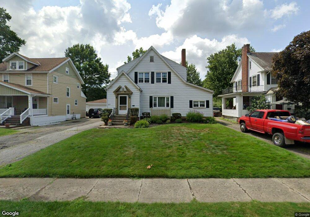
527 Forest St Mansfield, OH 44903
Estimated Value: $155,000 - $181,000
3
Beds
2
Baths
1,444
Sq Ft
$114/Sq Ft
Est. Value
About This Home
This home is located at 527 Forest St, Mansfield, OH 44903 and is currently estimated at $164,856, approximately $114 per square foot. 527 Forest St is a home located in Richland County with nearby schools including Goal Digital Academy, Discovery School, and St. Peter's High School/Junior High.
Ownership History
Date
Name
Owned For
Owner Type
Purchase Details
Closed on
Jan 22, 2024
Sold by
Sarbach 2014 Revocable Family Trust
Bought by
Sarbach Rebecca R
Current Estimated Value
Purchase Details
Closed on
Jul 29, 2003
Sold by
Strohl Katherine E
Bought by
Sarbach Thomas C
Home Financials for this Owner
Home Financials are based on the most recent Mortgage that was taken out on this home.
Original Mortgage
$74,000
Interest Rate
8.87%
Mortgage Type
Purchase Money Mortgage
Create a Home Valuation Report for This Property
The Home Valuation Report is an in-depth analysis detailing your home's value as well as a comparison with similar homes in the area
Home Values in the Area
Average Home Value in this Area
Purchase History
| Date | Buyer | Sale Price | Title Company |
|---|---|---|---|
| Sarbach Rebecca R | -- | None Listed On Document | |
| Sarbach Thomas C | $74,000 | Southern Title |
Source: Public Records
Mortgage History
| Date | Status | Borrower | Loan Amount |
|---|---|---|---|
| Previous Owner | Sarbach Thomas C | $74,000 |
Source: Public Records
Tax History Compared to Growth
Tax History
| Year | Tax Paid | Tax Assessment Tax Assessment Total Assessment is a certain percentage of the fair market value that is determined by local assessors to be the total taxable value of land and additions on the property. | Land | Improvement |
|---|---|---|---|---|
| 2024 | $1,662 | $35,500 | $6,420 | $29,080 |
| 2023 | $1,662 | $33,030 | $3,950 | $29,080 |
| 2022 | $1,337 | $23,930 | $3,390 | $20,540 |
| 2021 | $1,346 | $23,930 | $3,390 | $20,540 |
| 2020 | $1,377 | $23,930 | $3,390 | $20,540 |
| 2019 | $1,526 | $23,930 | $3,390 | $20,540 |
| 2018 | $1,505 | $23,930 | $3,390 | $20,540 |
| 2017 | $1,538 | $23,930 | $3,390 | $20,540 |
| 2016 | $1,612 | $25,540 | $4,670 | $20,870 |
| 2015 | $1,612 | $25,540 | $4,670 | $20,870 |
| 2014 | $1,519 | $25,540 | $4,670 | $20,870 |
| 2012 | $579 | $25,540 | $4,910 | $20,630 |
Source: Public Records
Map
Nearby Homes
- 538 Broadview Ave
- 679 Coleman Rd
- 133 Stewart Ave S
- 126 Dawson Ave
- 408 Fairlawn Ave
- 118 Parkwood Blvd
- 88 Sherman Ave
- 114 Vennum Ave
- 257 Wood St
- 191 Fairlawn Ave
- 76 Bartley Ave
- 78 Glenwood Blvd
- 71 Glenwood Blvd
- 118 Lind Ave
- 143 Fairlawn Ave
- 505 Wood St
- 212 Marlow Rd
- 135 Fairlawn Ave
- 129 Fairlawn Ave
- 119 Carpenter Rd