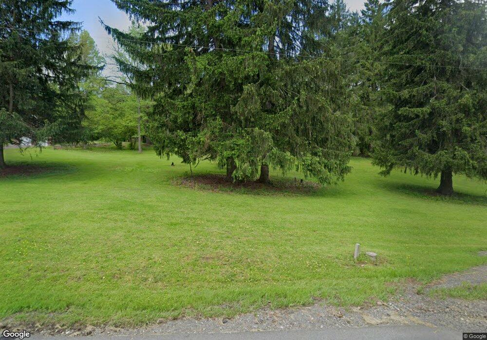
527 Hahn Rd Canonsburg, PA 15317
Estimated Value: $345,000 - $388,259
3
Beds
3
Baths
1,107
Sq Ft
$334/Sq Ft
Est. Value
About This Home
This home is located at 527 Hahn Rd, Canonsburg, PA 15317 and is currently estimated at $369,565, approximately $333 per square foot. 527 Hahn Rd is a home located in Washington County with nearby schools including Canon-Mcmillan Senior High School.
Ownership History
Date
Name
Owned For
Owner Type
Purchase Details
Closed on
Dec 6, 2021
Sold by
Adams David M and Adams Billietta L
Bought by
Patnesky Luke and Patnesky Stephanie
Current Estimated Value
Create a Home Valuation Report for This Property
The Home Valuation Report is an in-depth analysis detailing your home's value as well as a comparison with similar homes in the area
Home Values in the Area
Average Home Value in this Area
Purchase History
| Date | Buyer | Sale Price | Title Company |
|---|---|---|---|
| Patnesky Luke | $300,000 | None Available |
Source: Public Records
Tax History Compared to Growth
Tax History
| Year | Tax Paid | Tax Assessment Tax Assessment Total Assessment is a certain percentage of the fair market value that is determined by local assessors to be the total taxable value of land and additions on the property. | Land | Improvement |
|---|---|---|---|---|
| 2025 | $4,257 | $252,800 | $50,000 | $202,800 |
| 2024 | $4,027 | $252,800 | $50,000 | $202,800 |
| 2023 | $4,027 | $252,800 | $50,000 | $202,800 |
| 2022 | $3,183 | $252,800 | $50,000 | $202,800 |
| 2021 | $3,183 | $200,400 | $50,000 | $150,400 |
| 2020 | $3,122 | $200,400 | $50,000 | $150,400 |
| 2019 | $3,072 | $200,400 | $50,000 | $150,400 |
| 2018 | $3,010 | $200,400 | $50,000 | $150,400 |
| 2017 | $315 | $200,400 | $50,000 | $150,400 |
| 2016 | $404 | $16,217 | $5,997 | $10,220 |
| 2015 | $273 | $16,217 | $5,997 | $10,220 |
| 2014 | $404 | $16,217 | $5,997 | $10,220 |
| 2013 | $404 | $16,217 | $5,997 | $10,220 |
Source: Public Records
Map
Nearby Homes
- 110 Oakhurst Dr
- 140 Maple Ln
- 106 Stratford Dr
- 105 Oakwood Rd
- 153 Oakwood Rd
- 121 Anglers Way
- 138 Driftwood Dr
- 118 Center Church Rd Unit Center Church Rd
- 1047 Waterford Ct E
- 120 Pleasantview Dr
- 454 Independence Way
- 1009 Waterford Ct W
- 150 Roscommon Place
- The Grant Plan at Southpointe
- The Betsy Ross Plan at Southpointe
- The Hancock Plan at Southpointe
- The Washington Plan at Southpointe
- The Franklin Plan at Southpointe
- 202 Roscommon Place
- 235 Liberty Blvd
