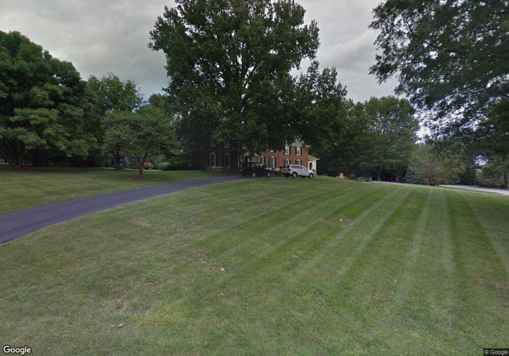
527 High Hampton Rd Saint Louis, MO 63124
Estimated Value: $2,012,643 - $2,099,000
5
Beds
5
Baths
4,630
Sq Ft
$445/Sq Ft
Est. Value
About This Home
This home is located at 527 High Hampton Rd, Saint Louis, MO 63124 and is currently estimated at $2,059,548, approximately $444 per square foot. 527 High Hampton Rd is a home located in St. Louis County with nearby schools including Conway Elementary, Ladue 5th Grade Center, and Ladue Middle School.
Ownership History
Date
Name
Owned For
Owner Type
Purchase Details
Closed on
Jun 18, 2013
Sold by
Fox Ronald E
Bought by
Pelch Elizabeth M and Pelch Steven J
Current Estimated Value
Home Financials for this Owner
Home Financials are based on the most recent Mortgage that was taken out on this home.
Original Mortgage
$963,750
Outstanding Balance
$675,820
Interest Rate
3.25%
Mortgage Type
New Conventional
Estimated Equity
$1,383,728
Purchase Details
Closed on
Sep 27, 2011
Sold by
Fox Ronald E and Wilhelm Miriam G
Bought by
Fox Ronald E
Home Financials for this Owner
Home Financials are based on the most recent Mortgage that was taken out on this home.
Original Mortgage
$417,000
Interest Rate
2.62%
Mortgage Type
Adjustable Rate Mortgage/ARM
Purchase Details
Closed on
Jan 2, 1998
Sold by
Fox Ronald E
Bought by
The Revocable Trust Of Ronald E Fox
Create a Home Valuation Report for This Property
The Home Valuation Report is an in-depth analysis detailing your home's value as well as a comparison with similar homes in the area
Home Values in the Area
Average Home Value in this Area
Purchase History
| Date | Buyer | Sale Price | Title Company |
|---|---|---|---|
| Pelch Elizabeth M | $1,300,000 | Insight Title | |
| Fox Ronald E | -- | Copper Title Llc | |
| Fox Ronald E | -- | Copper Title Llc | |
| The Revocable Trust Of Ronald E Fox | -- | -- |
Source: Public Records
Mortgage History
| Date | Status | Borrower | Loan Amount |
|---|---|---|---|
| Open | Pelch Elizabeth M | $963,750 | |
| Previous Owner | Fox Ronald E | $417,000 |
Source: Public Records
Tax History
| Year | Tax Paid | Tax Assessment Tax Assessment Total Assessment is a certain percentage of the fair market value that is determined by local assessors to be the total taxable value of land and additions on the property. | Land | Improvement |
|---|---|---|---|---|
| 2025 | $18,479 | $283,860 | $171,000 | $112,860 |
| 2024 | $18,479 | $273,810 | $102,600 | $171,210 |
| 2023 | $18,479 | $273,810 | $102,600 | $171,210 |
| 2022 | $17,748 | $253,820 | $85,500 | $168,320 |
| 2021 | $16,882 | $253,820 | $85,500 | $168,320 |
| 2020 | $17,640 | $263,830 | $85,500 | $178,330 |
| 2019 | $17,382 | $263,830 | $85,500 | $178,330 |
| 2018 | $17,559 | $246,030 | $85,500 | $160,530 |
| 2017 | $17,484 | $246,030 | $85,500 | $160,530 |
| 2016 | $18,498 | $251,850 | $85,500 | $166,350 |
| 2015 | $16,266 | $232,280 | $85,500 | $146,780 |
| 2014 | $12,181 | $167,870 | $76,840 | $91,030 |
Source: Public Records
Map
Nearby Homes
- 525 Beaucaire Dr
- 34 Somerset Downs Dr
- 829 Renderer Dr
- 1171 Ascot Ln
- 1104 Mariedale Ct Unit C
- 1306 Glendale Gardens Dr Unit C
- 9998 Litzsinger Rd
- 815 Brookside Dr
- 9780 Old Warson Rd
- 26 Huntleigh Woods
- 621 Meadowridge Ln
- 1031 Glenway Dr
- 918 Nancy Carol Ln
- 9838 Oak Haven Ave
- 1020 Curran Ave
- 582 Brookhaven Ct
- 9760 Old Warson Rd
- 887 Dickson St
- 9816 Obrien Ct
- 582 Drury Ln
- 515 High Hampton Rd
- 619 Haverford Rd
- 601 High Hampton Rd
- 10250 Kinsella Ln
- 524 High Hampton Rd
- 500 High Hampton Rd
- 501 High Hampton Rd
- 624 Haverford Rd
- 631 Haverford Rd
- 1600 N Woodlawn Ave
- 600 High Hampton Rd
- 9906 Old Warson Rd
- 617 High Hampton Rd
- 10270 Kinsella Ln
- 9904 Old Warson Rd
- 1590 N Woodlawn Ave
- 1700 N Woodlawn Ave
- 700 Haverford Rd
- 549 Beauford Dr
- 541 Beauford Dr
Your Personal Tour Guide
Ask me questions while you tour the home.