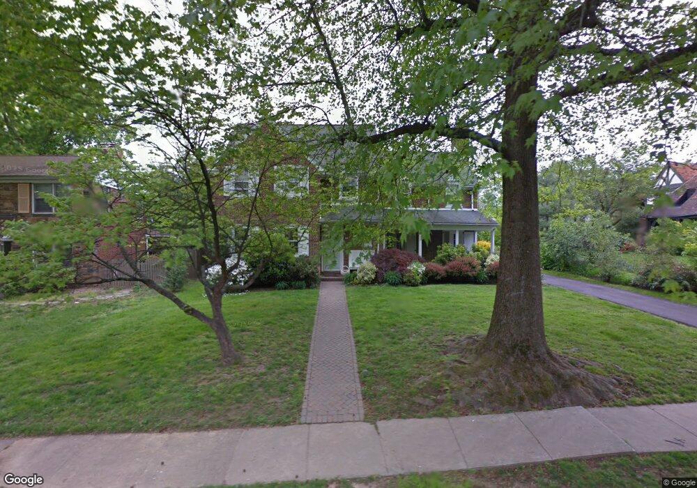
527 Howe Rd Merion Station, PA 19066
Estimated Value: $1,258,000 - $1,373,000
5
Beds
3
Baths
3,694
Sq Ft
$360/Sq Ft
Est. Value
About This Home
This home is located at 527 Howe Rd, Merion Station, PA 19066 and is currently estimated at $1,329,414, approximately $359 per square foot. 527 Howe Rd is a home located in Montgomery County with nearby schools including Cynwyd School, Bala-Cynwyd Middle School, and Lower Merion High School.
Ownership History
Date
Name
Owned For
Owner Type
Purchase Details
Closed on
Sep 26, 2023
Sold by
Fuchs Barry and Fuchs Amy
Bought by
Abf Revocable Trust and Fuchs
Current Estimated Value
Purchase Details
Closed on
Apr 12, 2012
Sold by
Fuchs Amy and Fuchs Barry
Bought by
Fuchs Barry and Fuchs Amy
Home Financials for this Owner
Home Financials are based on the most recent Mortgage that was taken out on this home.
Original Mortgage
$374,861
Interest Rate
2.75%
Mortgage Type
FHA
Purchase Details
Closed on
Jun 28, 1995
Sold by
Farber Richard and Farber Bonnie
Bought by
Fuchs Barry and Chernoff Amy
Create a Home Valuation Report for This Property
The Home Valuation Report is an in-depth analysis detailing your home's value as well as a comparison with similar homes in the area
Home Values in the Area
Average Home Value in this Area
Purchase History
| Date | Buyer | Sale Price | Title Company |
|---|---|---|---|
| Abf Revocable Trust | -- | None Listed On Document | |
| Abf Revocable Trust | -- | None Listed On Document | |
| Fuchs Barry | -- | None Available | |
| Fuchs Barry | $382,000 | -- |
Source: Public Records
Mortgage History
| Date | Status | Borrower | Loan Amount |
|---|---|---|---|
| Previous Owner | Fuchs Barry | $374,861 |
Source: Public Records
Tax History Compared to Growth
Tax History
| Year | Tax Paid | Tax Assessment Tax Assessment Total Assessment is a certain percentage of the fair market value that is determined by local assessors to be the total taxable value of land and additions on the property. | Land | Improvement |
|---|---|---|---|---|
| 2025 | $15,330 | $367,070 | -- | -- |
| 2024 | $15,330 | $367,070 | -- | -- |
| 2023 | $14,690 | $367,070 | $0 | $0 |
| 2022 | $14,418 | $367,070 | $0 | $0 |
| 2021 | $14,090 | $367,070 | $0 | $0 |
| 2020 | $13,746 | $367,070 | $0 | $0 |
| 2019 | $13,503 | $367,070 | $0 | $0 |
| 2018 | $13,503 | $367,070 | $0 | $0 |
| 2017 | $13,007 | $367,070 | $0 | $0 |
| 2016 | $12,864 | $367,070 | $0 | $0 |
| 2015 | $11,994 | $367,070 | $0 | $0 |
| 2014 | $11,994 | $367,070 | $0 | $0 |
Source: Public Records
Map
Nearby Homes
- 650 Revere Rd
- 508 Lafayette Rd
- 51 Academy Rd
- 534 Ott Rd
- 19 Rock Hill Rd Unit 7-D
- 623 Broad Acres Rd
- 275 Brookway Rd
- 717 Stradone Rd
- 346 Winding Way
- 101 Montgomery Ave Unit A-5
- 345 Valley Rd
- 116 E Princeton Rd
- 404 Merwyn Rd
- 603 Old Gulph Rd
- 42 Madison Ave Unit 272
- 1140 Greentree Ln
- 354 Trevor Ln
- 216 N Narberth Ave
- 211 Bryn Mawr Ave
- 135 Cornell Rd