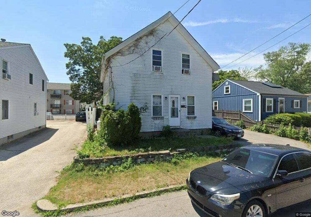
527 Kenyon Ave Pawtucket, RI 02861
Darlington NeighborhoodEstimated Value: $338,727 - $384,000
2
Beds
2
Baths
1,046
Sq Ft
$345/Sq Ft
Est. Value
About This Home
This home is located at 527 Kenyon Ave, Pawtucket, RI 02861 and is currently estimated at $360,682, approximately $344 per square foot. 527 Kenyon Ave is a home located in Providence County with nearby schools including St Cecilia School and Dayspring Christian Academy.
Ownership History
Date
Name
Owned For
Owner Type
Purchase Details
Closed on
Feb 1, 2010
Sold by
Reagan Patricia V
Bought by
Gilles Andy Jean
Current Estimated Value
Home Financials for this Owner
Home Financials are based on the most recent Mortgage that was taken out on this home.
Original Mortgage
$93,279
Outstanding Balance
$60,256
Interest Rate
4.95%
Mortgage Type
Purchase Money Mortgage
Estimated Equity
$300,426
Purchase Details
Closed on
Sep 16, 2005
Sold by
Tremblay Ann Marie and Ramsden Ann Marie
Bought by
Reagan Patricia V
Create a Home Valuation Report for This Property
The Home Valuation Report is an in-depth analysis detailing your home's value as well as a comparison with similar homes in the area
Home Values in the Area
Average Home Value in this Area
Purchase History
| Date | Buyer | Sale Price | Title Company |
|---|---|---|---|
| Gilles Andy Jean | $95,000 | -- | |
| Reagan Patricia V | $225,000 | -- |
Source: Public Records
Mortgage History
| Date | Status | Borrower | Loan Amount |
|---|---|---|---|
| Open | Reagan Patricia V | $8,815 | |
| Closed | Reagan Patricia V | $9,935 | |
| Open | Reagan Patricia V | $93,279 |
Source: Public Records
Tax History
| Year | Tax Paid | Tax Assessment Tax Assessment Total Assessment is a certain percentage of the fair market value that is determined by local assessors to be the total taxable value of land and additions on the property. | Land | Improvement |
|---|---|---|---|---|
| 2025 | $3,059 | $232,600 | $115,000 | $117,600 |
| 2024 | $2,870 | $232,600 | $115,000 | $117,600 |
| 2023 | $2,853 | $168,400 | $71,900 | $96,500 |
| 2022 | $2,792 | $168,400 | $71,900 | $96,500 |
| 2021 | $2,792 | $168,400 | $71,900 | $96,500 |
| 2020 | $2,588 | $123,900 | $56,800 | $67,100 |
| 2019 | $2,588 | $123,900 | $56,800 | $67,100 |
| 2018 | $2,494 | $123,900 | $56,800 | $67,100 |
| 2017 | $2,292 | $100,900 | $46,000 | $54,900 |
| 2016 | $2,209 | $100,900 | $46,000 | $54,900 |
| 2015 | $2,209 | $100,900 | $46,000 | $54,900 |
| 2014 | $2,135 | $92,600 | $46,000 | $46,600 |
Source: Public Records
Map
Nearby Homes
- 548 Kenyon Ave Unit 25
- 548 Kenyon Ave Unit 4
- 65 Cedarbrook Rd
- 57 Cedarbrook Rd
- 0 Cedar St
- 1346 Newport Ave
- 1346 Newport Ave Unit B-21
- 34 Elmcrest Dr
- 362 Kenyon Ave
- 460 Collins St Unit 9
- 49 Ames St
- 489 Benefit St
- 39 Clinton St
- 26 Blackburn St
- 67 Norton St
- 41 Calder St
- 50 Pullman Ave Unit A
- 50 Pullman Ave Unit B
- 386 Mendon Ave
- 83 Chaplin St
- 521 Kenyon Ave
- 535 Kenyon Ave
- 48 Sachem St
- 519 Kenyon Ave
- 44 Sachem St
- 54 Sachem St
- 38 Sachem St
- 511 Kenyon Ave
- 520 Kenyon Ave
- 553 Kenyon Ave
- 548 Kenyon Ave Unit U4
- 548 Kenyon Ave Unit 3
- 548 Kenyon Ave
- 548 Kenyon Ave
- 548 Kenyon Ave Unit 35
- 32 Sachem St
- 548 Kenyon Ave Unit 3
- 548 Kenyon Ave
- 49 Sachem St
- 53 Sachem St
Your Personal Tour Guide
Ask me questions while you tour the home.