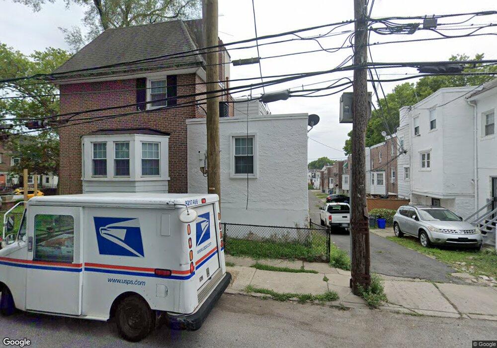
527 Littlecroft Rd Upper Darby, PA 19082
Estimated Value: $131,000 - $161,000
3
Beds
1
Bath
1,093
Sq Ft
$135/Sq Ft
Est. Value
About This Home
This home is located at 527 Littlecroft Rd, Upper Darby, PA 19082 and is currently estimated at $147,113, approximately $134 per square foot. 527 Littlecroft Rd is a home located in Delaware County with nearby schools including Upper Darby Kdg Center, Upper Darby High School, and Philadelphia Christian Academy.
Ownership History
Date
Name
Owned For
Owner Type
Purchase Details
Closed on
Sep 20, 2024
Sold by
Kante Abdoulate
Bought by
Kante Abdoulaye and Kante Mafouedie Bakayoko
Current Estimated Value
Purchase Details
Closed on
May 10, 2001
Sold by
Turner Catherine Patricia A and Davenport Sarah A
Bought by
Kante Abdoulaye
Home Financials for this Owner
Home Financials are based on the most recent Mortgage that was taken out on this home.
Original Mortgage
$42,071
Interest Rate
6.88%
Mortgage Type
FHA
Create a Home Valuation Report for This Property
The Home Valuation Report is an in-depth analysis detailing your home's value as well as a comparison with similar homes in the area
Home Values in the Area
Average Home Value in this Area
Purchase History
| Date | Buyer | Sale Price | Title Company |
|---|---|---|---|
| Kante Abdoulaye | -- | None Listed On Document | |
| Kante Abdoulaye | $42,000 | -- |
Source: Public Records
Mortgage History
| Date | Status | Borrower | Loan Amount |
|---|---|---|---|
| Previous Owner | Kante Abdoulaye | $42,071 |
Source: Public Records
Tax History Compared to Growth
Tax History
| Year | Tax Paid | Tax Assessment Tax Assessment Total Assessment is a certain percentage of the fair market value that is determined by local assessors to be the total taxable value of land and additions on the property. | Land | Improvement |
|---|---|---|---|---|
| 2025 | $2,786 | $65,880 | $13,520 | $52,360 |
| 2024 | $2,786 | $65,880 | $13,520 | $52,360 |
| 2023 | $2,760 | $65,880 | $13,520 | $52,360 |
| 2022 | $2,686 | $65,880 | $13,520 | $52,360 |
| 2021 | $3,621 | $65,880 | $13,520 | $52,360 |
| 2020 | $2,719 | $42,040 | $12,290 | $29,750 |
| 2019 | $2,672 | $42,040 | $12,290 | $29,750 |
| 2018 | $2,641 | $42,040 | $0 | $0 |
| 2017 | $2,572 | $42,040 | $0 | $0 |
| 2016 | $231 | $42,040 | $0 | $0 |
| 2015 | $231 | $42,040 | $0 | $0 |
| 2014 | $231 | $42,040 | $0 | $0 |
Source: Public Records
Map
Nearby Homes
- 504 Woodcliffe Rd
- 513 Woodcliffe Rd
- 506 Hampden Rd
- 424 Woodcliffe Rd
- 558 Snowden Rd
- 418 Hampden Rd
- 607 Littlecroft Rd
- 346 Long Ln
- 414 Glendale Rd
- 517 Wiltshire Rd
- 525 Wiltshire Rd
- 432 Grace Rd
- 669 Long Ln
- 404 Croyden Rd
- 7155 Radbourne Rd
- 6982 Clinton Rd
- 7216 Clinton Rd
- 351 Long Ln
- 7162 Radbourne Rd
- 7114 Locust St
- 521 Littlecroft Rd
- 523 Littlecroft Rd
- 300 Maypole Rd
- 525 Littlecroft Rd
- 513 Littlecroft Rd
- 302 Maypole Rd
- 212 Glendale Rd
- 229 Maypole Rd
- 231 Maypole Rd
- 221 Maypole Rd
- 561 Littlecroft Rd
- 559 Littlecroft Rd
- 557 Littlecroft Rd
- 555 Littlecroft Rd
- 553 Littlecroft Rd
- 551 Littlecroft Rd
- 549 Littlecroft Rd
- 547 Littlecroft Rd
- 545 Littlecroft Rd
- 543 Littlecroft Rd