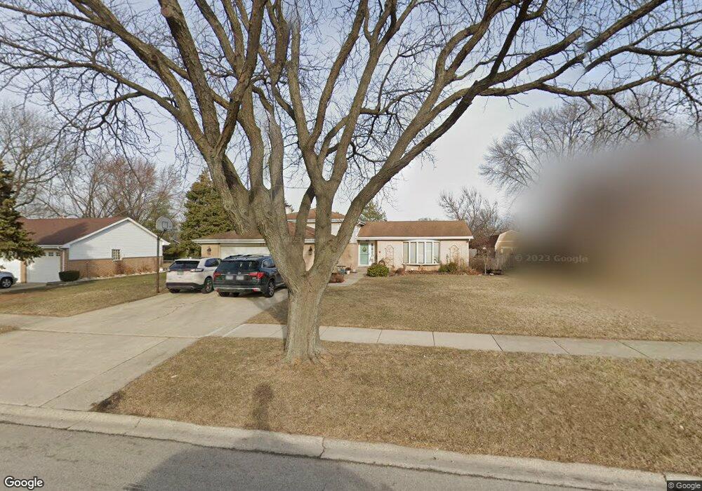
527 Logan St Roselle, IL 60172
Estimated Value: $394,000 - $495,000
3
Beds
2
Baths
1,534
Sq Ft
$289/Sq Ft
Est. Value
About This Home
This home is located at 527 Logan St, Roselle, IL 60172 and is currently estimated at $442,926, approximately $288 per square foot. 527 Logan St is a home located in Cook County with nearby schools including Edwin Aldrin Elementary School, Robert Frost Junior High School, and J B Conant High School.
Ownership History
Date
Name
Owned For
Owner Type
Purchase Details
Closed on
Jun 28, 1996
Sold by
Bormeth Andreas and Bormeth Anna
Bought by
Zerfas Norman J and Zerfas Kristin M
Current Estimated Value
Home Financials for this Owner
Home Financials are based on the most recent Mortgage that was taken out on this home.
Original Mortgage
$164,000
Interest Rate
7.75%
Create a Home Valuation Report for This Property
The Home Valuation Report is an in-depth analysis detailing your home's value as well as a comparison with similar homes in the area
Home Values in the Area
Average Home Value in this Area
Purchase History
| Date | Buyer | Sale Price | Title Company |
|---|---|---|---|
| Zerfas Norman J | $205,000 | -- |
Source: Public Records
Mortgage History
| Date | Status | Borrower | Loan Amount |
|---|---|---|---|
| Previous Owner | Zerfas Norman J | $164,000 |
Source: Public Records
Tax History
| Year | Tax Paid | Tax Assessment Tax Assessment Total Assessment is a certain percentage of the fair market value that is determined by local assessors to be the total taxable value of land and additions on the property. | Land | Improvement |
|---|---|---|---|---|
| 2025 | $9,199 | $42,000 | $9,476 | $32,524 |
| 2024 | $9,199 | $35,000 | $7,980 | $27,020 |
| 2023 | $8,854 | $35,000 | $7,980 | $27,020 |
| 2022 | $8,854 | $35,000 | $7,980 | $27,020 |
| 2021 | $7,487 | $27,076 | $5,735 | $21,341 |
| 2020 | $7,442 | $27,076 | $5,735 | $21,341 |
| 2019 | $7,414 | $30,085 | $5,735 | $24,350 |
| 2018 | $7,562 | $27,946 | $4,738 | $23,208 |
| 2017 | $7,438 | $27,946 | $4,738 | $23,208 |
| 2016 | $7,216 | $27,946 | $4,738 | $23,208 |
| 2015 | $7,379 | $26,513 | $3,990 | $22,523 |
| 2014 | $7,236 | $26,513 | $3,990 | $22,523 |
| 2013 | $6,999 | $26,513 | $3,990 | $22,523 |
Source: Public Records
Map
Nearby Homes
- 1630 Myrtle Park St
- 100 Pratt Blvd
- 460 W Irving Park Rd
- 1500 Illinois St
- 134 Lunt Ave
- 219 N Prospect St
- 100 N Bokelman St Unit 329
- 50 N Bokelman St Unit 234
- 13 W Monterey Ave
- 24W330 Central Ave
- 1323 S Roselle Rd
- 366 Ventura Club Dr
- 380 Ventura Club Dr
- 130 W End Rd
- 217 Steeple Bush Ln Unit 10242
- 207 Mountain Interval Rd Unit 7230
- 211 Steeple Bush Ln Unit 10343
- 455 E Granville Ave
- 532 E Devon Ave
- 760 Longford Dr
Your Personal Tour Guide
Ask me questions while you tour the home.