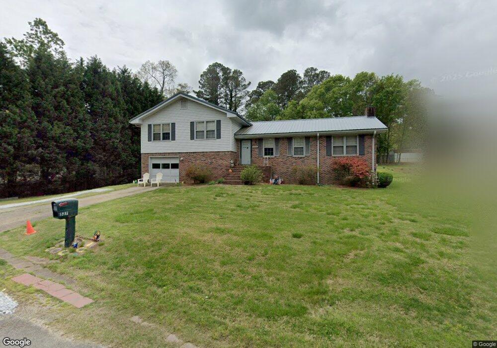
527 Lois Ln Winder, GA 30680
Estimated Value: $242,127 - $317,000
3
Beds
2
Baths
1,181
Sq Ft
$244/Sq Ft
Est. Value
About This Home
This home is located at 527 Lois Ln, Winder, GA 30680 and is currently estimated at $287,782, approximately $243 per square foot. 527 Lois Ln is a home located in Barrow County with nearby schools including Kennedy Elementary School, Westside Middle School, and Apalachee High School.
Ownership History
Date
Name
Owned For
Owner Type
Purchase Details
Closed on
Sep 30, 2020
Sold by
Butler Louise G
Bought by
Williams Spencer M and Williams Sydney M
Current Estimated Value
Home Financials for this Owner
Home Financials are based on the most recent Mortgage that was taken out on this home.
Original Mortgage
$225,834
Outstanding Balance
$199,500
Interest Rate
2.9%
Mortgage Type
FHA
Estimated Equity
$88,282
Create a Home Valuation Report for This Property
The Home Valuation Report is an in-depth analysis detailing your home's value as well as a comparison with similar homes in the area
Home Values in the Area
Average Home Value in this Area
Purchase History
| Date | Buyer | Sale Price | Title Company |
|---|---|---|---|
| Williams Spencer M | $230,000 | -- |
Source: Public Records
Mortgage History
| Date | Status | Borrower | Loan Amount |
|---|---|---|---|
| Open | Williams Spencer M | $225,834 |
Source: Public Records
Tax History
| Year | Tax Paid | Tax Assessment Tax Assessment Total Assessment is a certain percentage of the fair market value that is determined by local assessors to be the total taxable value of land and additions on the property. | Land | Improvement |
|---|---|---|---|---|
| 2025 | $366 | $59,800 | $14,800 | $45,000 |
| 2024 | $310 | $58,586 | $14,800 | $43,786 |
| 2023 | $224 | $58,786 | $14,800 | $43,986 |
| 2022 | $315 | $54,877 | $14,800 | $40,077 |
| 2021 | $303 | $51,277 | $11,200 | $40,077 |
| 2020 | $285 | $51,277 | $11,200 | $40,077 |
| 2019 | $292 | $49,906 | $11,200 | $38,706 |
| 2018 | $215 | $40,081 | $9,600 | $30,481 |
| 2017 | $974 | $33,436 | $9,600 | $23,836 |
| 2016 | $161 | $30,330 | $7,000 | $23,330 |
| 2015 | $782 | $30,330 | $7,000 | $23,330 |
| 2014 | $742 | $28,720 | $5,390 | $23,330 |
| 2013 | -- | $27,109 | $5,390 | $21,719 |
Source: Public Records
Map
Nearby Homes
- 352 Turtle Creek Dr
- 526 Terrapin Ln
- 286 Turtle Creek Dr
- 94 Matthews School Rd
- 132 Poplar Way
- 1452 Box Cir
- 1442 Box Cir
- 1428 Box Cir
- 1993 Township Dr
- 1986 Township Dr
- 621 Loganville Hwy
- 677 Massey St
- 2147 Massey Ln
- 2051 Massey Ln
- 2036 Massey Ln
- 2061 Massey Ln
- 155 Horton St
- 670 Loganville Hwy
- 609 Bill Rutledge Rd
- 277 Hillside Dr
Your Personal Tour Guide
Ask me questions while you tour the home.