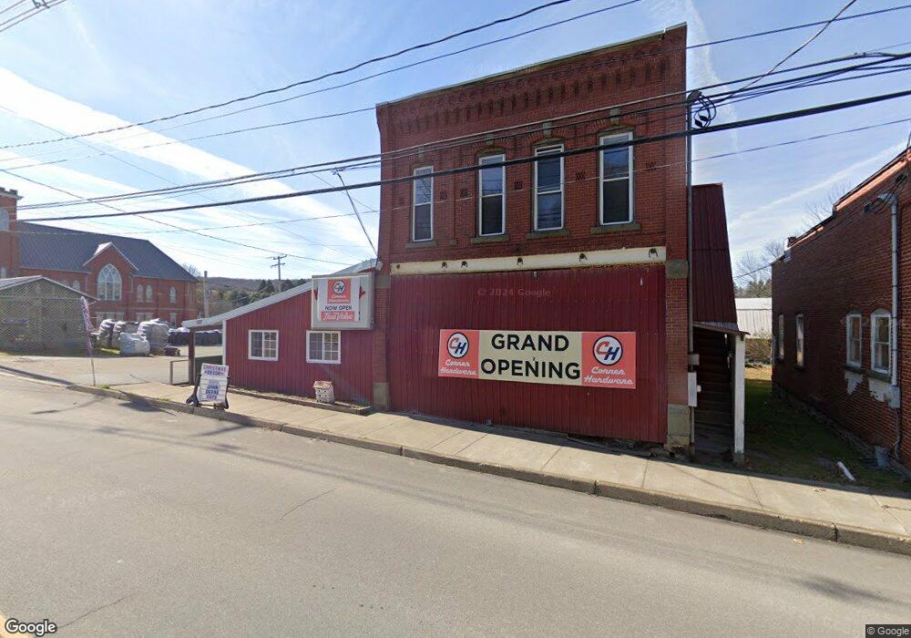
527 Main St Ulysses, PA 16948
Estimated Value: $37,412
--
Bed
2
Baths
2,498
Sq Ft
$15/Sq Ft
Est. Value
About This Home
This home is located at 527 Main St, Ulysses, PA 16948 and is currently priced at $37,412, approximately $14 per square foot. 527 Main St is a home located in Potter County with nearby schools including Northern Potter Children's School, Northern Potter Junior/Senior High School, and Ulysses Amish School.
Ownership History
Date
Name
Owned For
Owner Type
Purchase Details
Closed on
Sep 26, 2022
Sold by
Kosa Shelley E
Bought by
Reisinger Luke W and Reisinger Rita J
Current Estimated Value
Home Financials for this Owner
Home Financials are based on the most recent Mortgage that was taken out on this home.
Original Mortgage
$124,000
Outstanding Balance
$118,605
Interest Rate
5.22%
Mortgage Type
Credit Line Revolving
Create a Home Valuation Report for This Property
The Home Valuation Report is an in-depth analysis detailing your home's value as well as a comparison with similar homes in the area
Home Values in the Area
Average Home Value in this Area
Purchase History
| Date | Buyer | Sale Price | Title Company |
|---|---|---|---|
| Reisinger Luke W | $155,000 | 1St Advantage Settlement Servi |
Source: Public Records
Mortgage History
| Date | Status | Borrower | Loan Amount |
|---|---|---|---|
| Open | Reisinger Luke W | $124,000 |
Source: Public Records
Tax History Compared to Growth
Tax History
| Year | Tax Paid | Tax Assessment Tax Assessment Total Assessment is a certain percentage of the fair market value that is determined by local assessors to be the total taxable value of land and additions on the property. | Land | Improvement |
|---|---|---|---|---|
| 2025 | $3,730 | $44,680 | $3,130 | $41,550 |
| 2024 | $3,518 | $44,680 | $3,130 | $41,550 |
| 2023 | $3,310 | $44,680 | $3,130 | $41,550 |
| 2022 | $3,172 | $44,680 | $3,130 | $41,550 |
| 2021 | $3,127 | $44,680 | $3,130 | $41,550 |
| 2020 | $3,040 | $44,680 | $3,130 | $41,550 |
| 2019 | $2,980 | $44,680 | $3,130 | $41,550 |
| 2018 | $2,876 | $44,680 | $3,130 | $41,550 |
| 2017 | -- | $44,680 | $3,130 | $41,550 |
| 2016 | $2,734 | $44,680 | $3,130 | $41,550 |
| 2015 | -- | $44,680 | $3,130 | $41,550 |
| 2012 | -- | $44,680 | $3,130 | $41,550 |
Source: Public Records
Map
Nearby Homes
- 381 Northern Potter Rd
- 101 Cowburn Rd
- 350 Brown Rd
- 301 Brown Rd
- 1354 White Knoll Rd
- 0 Swartz Rd Unit LotWP001 19392979
- 0 Swartz Rd Unit 11244668
- 2110 State Route 49 W
- 1201 Johnson Rd
- 651 Dennis Hill Rd
- 377 Bingham Center Rd
- 000 Bingham Center Rd
- 00 Bingham Center Rd
- 0 Bingham Center Rd
- 0 T455
- 0 N Brookland Rd
- 313 N Brookland Rd
- 2955 Genesee Mills Rd
- 250 Whitman Rd
- 514 Kidney Rd