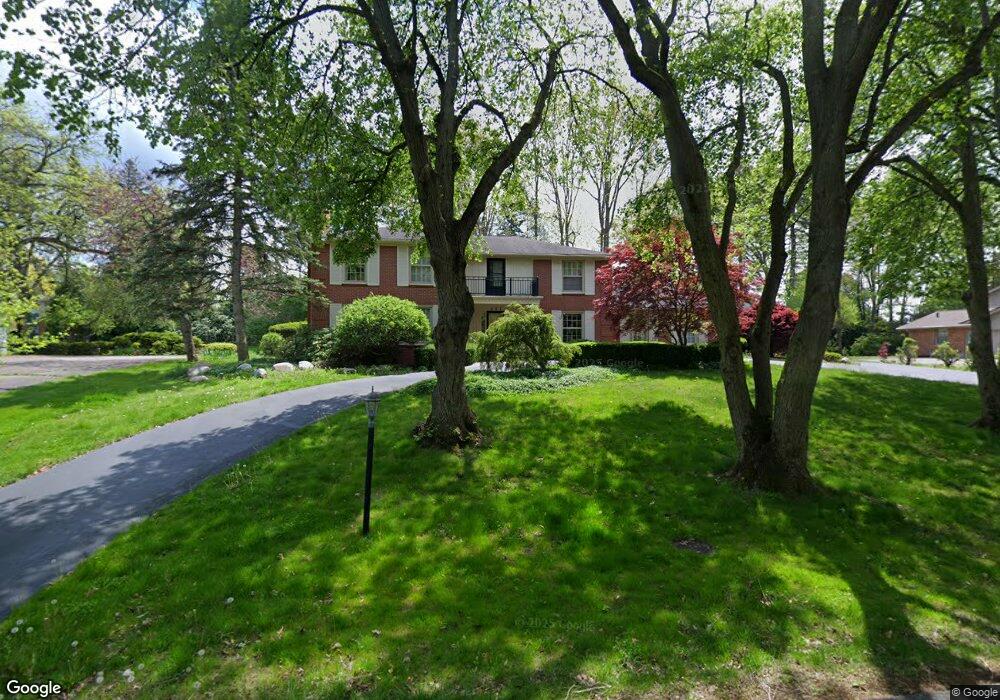
527 Overbrook Rd Bloomfield Hills, MI 48302
Estimated Value: $821,194 - $1,209,000
4
Beds
4
Baths
3,570
Sq Ft
$284/Sq Ft
Est. Value
About This Home
This home is located at 527 Overbrook Rd, Bloomfield Hills, MI 48302 and is currently estimated at $1,012,299, approximately $283 per square foot. 527 Overbrook Rd is a home located in Oakland County with nearby schools including Way Elementary School, South Hills Middle School, and Bloomfield Hills High School.
Ownership History
Date
Name
Owned For
Owner Type
Purchase Details
Closed on
Apr 3, 2017
Sold by
Coastline Capital Llc
Bought by
Jari Dejan
Current Estimated Value
Home Financials for this Owner
Home Financials are based on the most recent Mortgage that was taken out on this home.
Original Mortgage
$133,733
Outstanding Balance
$111,072
Interest Rate
4.14%
Estimated Equity
$901,227
Purchase Details
Closed on
Jun 8, 2000
Sold by
Mary Louise Rynski Tr
Bought by
Leonard Rynski Tr
Create a Home Valuation Report for This Property
The Home Valuation Report is an in-depth analysis detailing your home's value as well as a comparison with similar homes in the area
Home Values in the Area
Average Home Value in this Area
Purchase History
| Date | Buyer | Sale Price | Title Company |
|---|---|---|---|
| Jari Dejan | -- | -- | |
| Leonard Rynski Tr | -- | -- |
Source: Public Records
Mortgage History
| Date | Status | Borrower | Loan Amount |
|---|---|---|---|
| Open | Jari Dejan | $133,733 | |
| Closed | Jari Dejan | -- |
Source: Public Records
Tax History Compared to Growth
Tax History
| Year | Tax Paid | Tax Assessment Tax Assessment Total Assessment is a certain percentage of the fair market value that is determined by local assessors to be the total taxable value of land and additions on the property. | Land | Improvement |
|---|---|---|---|---|
| 2024 | $5,859 | $339,200 | $0 | $0 |
| 2023 | $5,670 | $306,010 | $0 | $0 |
| 2022 | $11,772 | $307,020 | $0 | $0 |
| 2021 | $11,727 | $305,860 | $0 | $0 |
| 2020 | $5,186 | $272,600 | $0 | $0 |
| 2019 | $11,405 | $284,550 | $0 | $0 |
| 2018 | $11,246 | $274,490 | $0 | $0 |
| 2017 | $10,167 | $263,700 | $0 | $0 |
| 2016 | $10,186 | $279,790 | $0 | $0 |
| 2015 | -- | $272,660 | $0 | $0 |
| 2014 | -- | $255,230 | $0 | $0 |
| 2011 | -- | $259,540 | $0 | $0 |
Source: Public Records
Map
Nearby Homes
- 3797 Burning Tree Dr
- 4650 Lahser Rd
- 931 Vaughan Rd
- 3715 Lahser Rd
- 801 W Long Lake Rd
- 921 Pine Thistle Ln
- 4255 Telegraph Rd
- 362 Keswick Rd
- 830 N Pemberton Rd
- 341 Keswick Rd
- 3531 Brookside Dr
- 1027 Joanne Ct
- 692 Bennington Dr
- 3515 Brookside Dr
- 3627 Shallow Brook Dr
- 275 Barden Rd
- 3403 Chickering Ln
- 229 Barden Rd
- 3435 Devon Brook Dr
- 110 Denbar Rd
- 535 Overbrook Rd
- 517 Overbrook Rd
- 4387 Barchester Dr
- 4393 Barchester Dr
- 4381 Barchester Dr
- 524 Overbrook Rd
- 511 Overbrook Rd
- 4403 Barchester Dr
- 532 Overbrook Rd
- 543 Overbrook Rd
- 4375 Barchester Dr
- 540 Overbrook Rd
- 510 Overbrook Rd
- 507 Overbrook Rd
- 4388 Barchester Dr
- 551 Overbrook Rd
- 4380 Barchester Dr
- 0 Lahser Rd
- 4369 Barchester Dr
- 550 Overbrook Rd