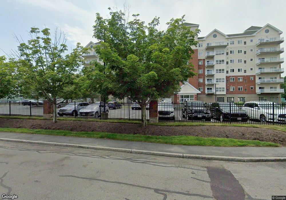
527 Pawtucket Blvd Unit 203 Lowell, MA 01854
Pawtucketville NeighborhoodEstimated Value: $413,000 - $540,000
2
Beds
2
Baths
1,216
Sq Ft
$384/Sq Ft
Est. Value
About This Home
This home is located at 527 Pawtucket Blvd Unit 203, Lowell, MA 01854 and is currently estimated at $467,516, approximately $384 per square foot. 527 Pawtucket Blvd Unit 203 is a home located in Middlesex County with nearby schools including Joseph McAvinnue Elementary School, Charlotte M. Murkland Elementary School, and Charles W. Morey Elementary School.
Ownership History
Date
Name
Owned For
Owner Type
Purchase Details
Closed on
Nov 30, 2020
Sold by
Mccarthy Aileen R
Bought by
Princeton Grandview Llc
Current Estimated Value
Purchase Details
Closed on
Nov 14, 2006
Sold by
Grandview Condo Llc
Bought by
Mccarthy Aileen R
Create a Home Valuation Report for This Property
The Home Valuation Report is an in-depth analysis detailing your home's value as well as a comparison with similar homes in the area
Home Values in the Area
Average Home Value in this Area
Purchase History
| Date | Buyer | Sale Price | Title Company |
|---|---|---|---|
| Princeton Grandview Llc | $350,000 | None Available | |
| Mccarthy Aileen R | $329,900 | -- |
Source: Public Records
Tax History Compared to Growth
Tax History
| Year | Tax Paid | Tax Assessment Tax Assessment Total Assessment is a certain percentage of the fair market value that is determined by local assessors to be the total taxable value of land and additions on the property. | Land | Improvement |
|---|---|---|---|---|
| 2025 | $4,802 | $418,300 | $0 | $418,300 |
| 2024 | $4,622 | $388,100 | $0 | $388,100 |
| 2023 | $4,258 | $342,800 | $0 | $342,800 |
| 2022 | $4,044 | $318,700 | $0 | $318,700 |
| 2021 | $3,843 | $285,500 | $0 | $285,500 |
| 2020 | $3,777 | $282,700 | $0 | $282,700 |
| 2019 | $3,687 | $262,600 | $0 | $262,600 |
| 2018 | $3,786 | $263,100 | $0 | $263,100 |
| 2017 | $3,867 | $259,200 | $0 | $259,200 |
| 2016 | $3,702 | $244,200 | $0 | $244,200 |
| 2015 | $3,559 | $229,900 | $0 | $229,900 |
| 2013 | $3,281 | $218,600 | $0 | $218,600 |
Source: Public Records
Map
Nearby Homes
- 527 Pawtucket Blvd Unit 304
- 311 Pawtucket Blvd Unit 9
- 307 Pawtucket Blvd Unit 13
- 101 Laurie Ln
- 4 Tamarack St
- 1975 Middlesex St Unit 51
- 1975 Middlesex St Unit 10
- 6 Louis Farm Rd Unit 6
- 3 Louis Farm Rd Unit 3
- 69 Coburn Dr
- 770 Princeton Blvd
- 49 Coburn Dr
- 24 Brouilette St Unit A
- 1311 Middlesex St
- 1280 Middlesex St
- 977 Westford St Unit 4
- 20 Sandy Ln
- 149 Woodward Ave
- 1820 Skyline Dr Unit 18
- 61 Florence Ave
- 527 Pawtucket Blvd Unit varies
- 527 Pawtucket Blvd Unit 305B1
- 527 Pawtucket Blvd Unit 506
- 527 Pawtucket Blvd Unit 204
- 527 Pawtucket Blvd Unit 704
- 527 Pawtucket Blvd Unit 703
- 527 Pawtucket Blvd Unit 604
- 527 Pawtucket Blvd Unit 509
- 527 Pawtucket Blvd Unit 710
- 527 Pawtucket Blvd Unit 709
- 527 Pawtucket Blvd Unit 708
- 527 Pawtucket Blvd Unit 707
- 527 Pawtucket Blvd Unit 706
- 527 Pawtucket Blvd Unit 705
- 527 Pawtucket Blvd Unit 702
- 527 Pawtucket Blvd Unit 610
- 527 Pawtucket Blvd Unit 609
- 527 Pawtucket Blvd Unit 608
- 527 Pawtucket Blvd Unit 607
- 527 Pawtucket Blvd Unit 606