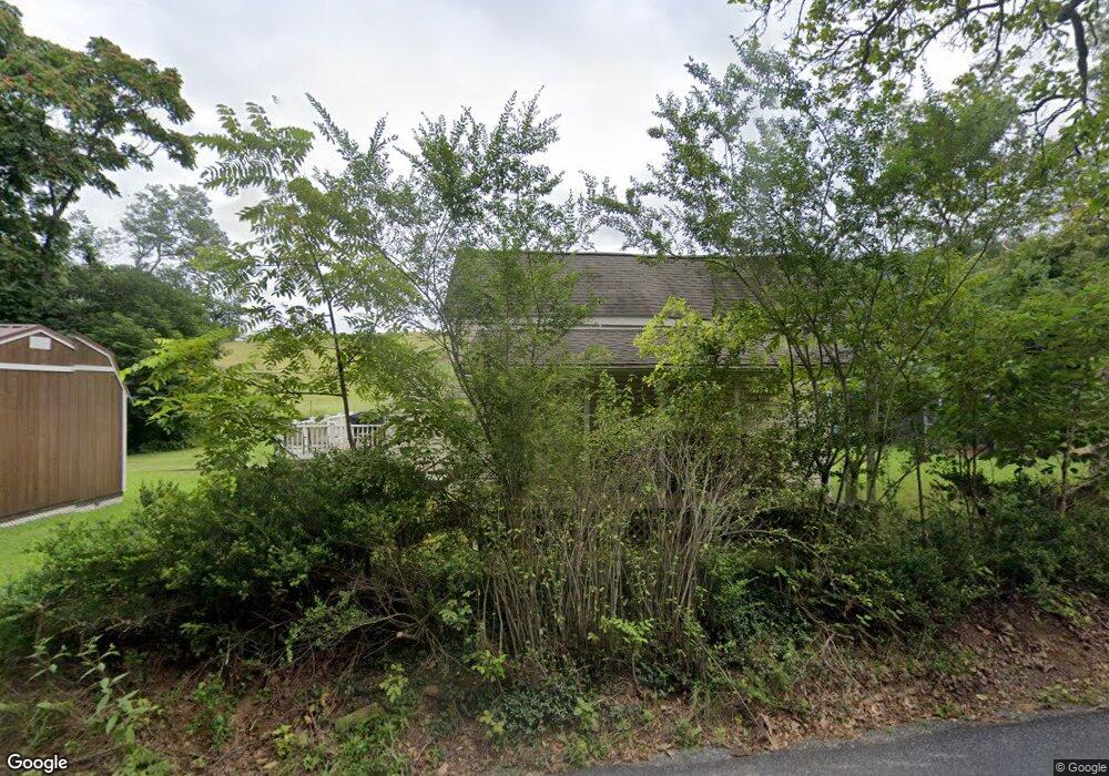
527 Pico Rd Buchanan, VA 24066
Estimated Value: $103,000 - $226,000
1
Bed
2
Baths
903
Sq Ft
$187/Sq Ft
Est. Value
About This Home
This home is located at 527 Pico Rd, Buchanan, VA 24066 and is currently estimated at $168,994, approximately $187 per square foot. 527 Pico Rd is a home located in Botetourt County with nearby schools including Buchanan Elementary School, Central Academy Middle School, and James River High School.
Ownership History
Date
Name
Owned For
Owner Type
Purchase Details
Closed on
Feb 3, 2011
Sold by
Boblett Donald
Bought by
King Bryan L
Current Estimated Value
Home Financials for this Owner
Home Financials are based on the most recent Mortgage that was taken out on this home.
Original Mortgage
$112,084
Outstanding Balance
$76,111
Interest Rate
4.62%
Mortgage Type
FHA
Estimated Equity
$92,883
Create a Home Valuation Report for This Property
The Home Valuation Report is an in-depth analysis detailing your home's value as well as a comparison with similar homes in the area
Home Values in the Area
Average Home Value in this Area
Purchase History
| Date | Buyer | Sale Price | Title Company |
|---|---|---|---|
| King Bryan L | $115,000 | -- |
Source: Public Records
Mortgage History
| Date | Status | Borrower | Loan Amount |
|---|---|---|---|
| Open | King Bryan L | $112,084 |
Source: Public Records
Tax History Compared to Growth
Tax History
| Year | Tax Paid | Tax Assessment Tax Assessment Total Assessment is a certain percentage of the fair market value that is determined by local assessors to be the total taxable value of land and additions on the property. | Land | Improvement |
|---|---|---|---|---|
| 2025 | $816 | $116,500 | $24,000 | $92,500 |
| 2024 | $816 | $116,500 | $24,000 | $92,500 |
| 2023 | $732 | $92,600 | $19,200 | $73,400 |
| 2022 | $732 | $92,600 | $19,200 | $73,400 |
| 2021 | $732 | $92,600 | $19,200 | $73,400 |
| 2020 | $732 | $92,600 | $19,200 | $73,400 |
| 2019 | $677 | $85,700 | $19,200 | $66,500 |
| 2018 | $677 | $85,700 | $19,200 | $66,500 |
| 2017 | $677 | $85,700 | $19,200 | $66,500 |
| 2016 | $677 | $85,700 | $19,200 | $66,500 |
| 2015 | $588 | $81,700 | $17,300 | $64,400 |
| 2014 | $588 | $81,700 | $17,300 | $64,400 |
| 2010 | -- | $81,700 | $17,300 | $64,400 |
Source: Public Records
Map
Nearby Homes
- 387 Newtown Rd
- 142 Chenault St
- TBD Main St
- 0 Main St Unit 920034
- 36 Boyd St
- 218 Albemarle Ave
- 0 Boyd St
- 535 Boyd St
- 0 Braxton Dr
- 411 Hardbarger Rd
- 1434 Prease Rd
- 9195 Springwood Rd
- 890 Blain Rd
- 2201 Lithia Rd
- 00 Fringer Trail
- 44 Walkers Dr
- 1105 Lithia Rd
- 805 Longfield Rd
- 1075 Lithia Rd
- 0 Oak Ridge Rd Unit 919427