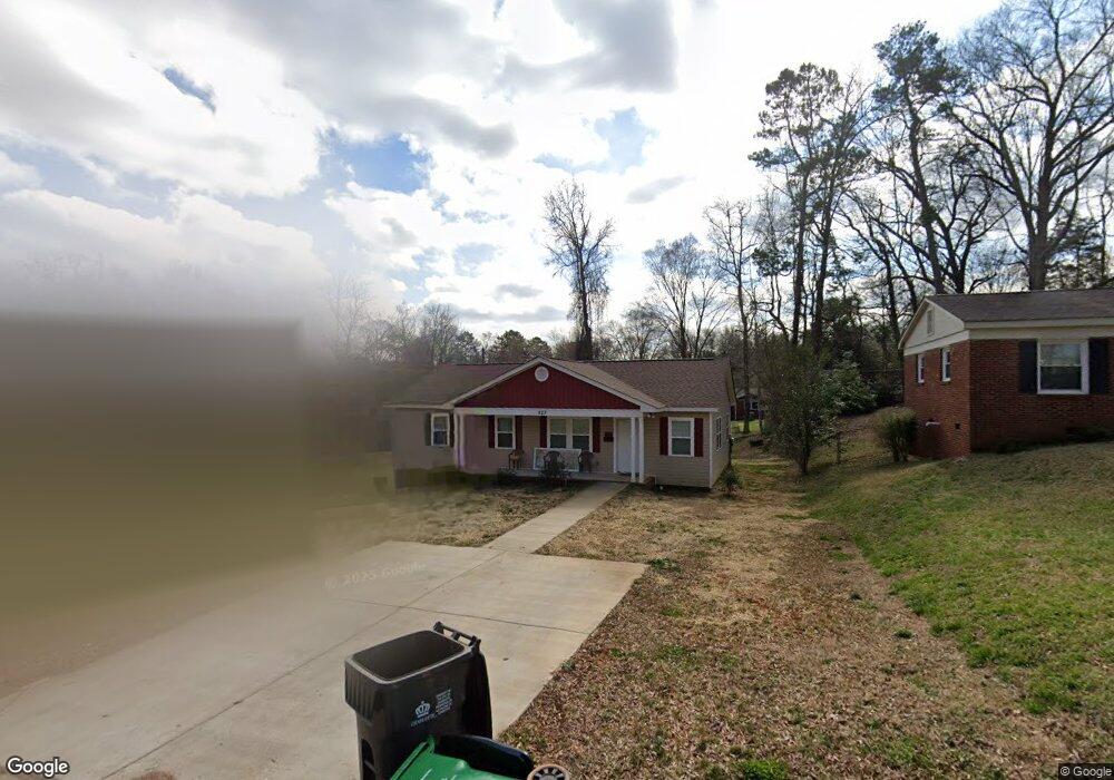
527 Porter St Charlotte, NC 28208
Thomasboro-Hoskins NeighborhoodEstimated Value: $250,000 - $305,658
4
Beds
2
Baths
1,288
Sq Ft
$210/Sq Ft
Est. Value
About This Home
This home is located at 527 Porter St, Charlotte, NC 28208 and is currently estimated at $270,415, approximately $209 per square foot. 527 Porter St is a home located in Mecklenburg County with nearby schools including Allenbrook Elementary School, Ranson Middle School, and West Charlotte High School.
Ownership History
Date
Name
Owned For
Owner Type
Purchase Details
Closed on
Aug 28, 2017
Sold by
Habitat For Humanity Of Charlote
Bought by
Anthony Tamara Nicole
Current Estimated Value
Home Financials for this Owner
Home Financials are based on the most recent Mortgage that was taken out on this home.
Original Mortgage
$97,400
Outstanding Balance
$81,618
Interest Rate
4.03%
Mortgage Type
Commercial
Estimated Equity
$188,797
Purchase Details
Closed on
Jun 1, 2016
Sold by
Ray Reginald R and Ray Lori A
Bought by
Habitat For Humanity Of Charlotte Inc
Purchase Details
Closed on
Aug 1, 2006
Sold by
Jones Mildred W
Bought by
Ray Reginald R and Ray Lori A
Home Financials for this Owner
Home Financials are based on the most recent Mortgage that was taken out on this home.
Original Mortgage
$51,200
Interest Rate
6.68%
Mortgage Type
Purchase Money Mortgage
Create a Home Valuation Report for This Property
The Home Valuation Report is an in-depth analysis detailing your home's value as well as a comparison with similar homes in the area
Home Values in the Area
Average Home Value in this Area
Purchase History
| Date | Buyer | Sale Price | Title Company |
|---|---|---|---|
| Anthony Tamara Nicole | $116,500 | None Available | |
| Habitat For Humanity Of Charlotte Inc | $8,000 | None Available | |
| Ray Reginald R | $64,000 | None Available |
Source: Public Records
Mortgage History
| Date | Status | Borrower | Loan Amount |
|---|---|---|---|
| Open | Anthony Tamara Nicole | $97,400 | |
| Previous Owner | Ray Reginald R | $51,200 |
Source: Public Records
Tax History Compared to Growth
Tax History
| Year | Tax Paid | Tax Assessment Tax Assessment Total Assessment is a certain percentage of the fair market value that is determined by local assessors to be the total taxable value of land and additions on the property. | Land | Improvement |
|---|---|---|---|---|
| 2025 | $2,399 | $296,600 | $71,500 | $225,100 |
| 2024 | $2,399 | $296,600 | $71,500 | $225,100 |
| 2023 | $2,315 | $296,600 | $71,500 | $225,100 |
| 2022 | $1,608 | $153,600 | $15,000 | $138,600 |
| 2021 | $1,597 | $153,600 | $15,000 | $138,600 |
| 2020 | $1,589 | $153,600 | $15,000 | $138,600 |
| 2019 | $1,574 | $153,600 | $15,000 | $138,600 |
| 2018 | $1,366 | $10,800 | $10,800 | $0 |
| 2017 | $140 | $10,800 | $10,800 | $0 |
| 2016 | $140 | $10,800 | $10,800 | $0 |
| 2015 | $140 | $10,800 | $10,800 | $0 |
| 2014 | $817 | $58,800 | $10,800 | $48,000 |
Source: Public Records
Map
Nearby Homes
- 4805 Wildwood Ave
- 4601 Sampson St
- 4310 Toluca Place
- 626 Wabash Ave Unit 6
- 630 Wabash Ave Unit 5
- 4501 Knollcrest Dr
- 643 Wabash Ave Unit 14
- 4331 Knollcrest Dr
- 4414 Birkdale Dr
- 409 S Ramsey St
- 0 Privette St
- 730 Marble St
- 231 Hoskins Avenue Dr
- 917 Lewiston Ave
- 4421 Gum St
- 4416 Tillman Rd
- 201 S Hoskins Rd Unit 132
- 201 S Hoskins Rd Unit 313
- 201 S Hoskins Rd Unit 115
- 926 Cantwell St
- 533 Porter St
- 521 Porter St
- 539 Porter St
- 515 Porter St
- 526 Williamson St
- 526 Williamson St Unit 12
- 532 Williamson St
- 520 Williamson St
- 541 Porter St
- 520 Porter St
- 514 Williamson St
- 532 Porter St
- 514 Porter St
- 544 Williamson St
- 4721 Morgan St
- 4715 Morgan St
- 538 Porter St
- 545 Porter St
- 4709 Morgan St
- 548 Williamson St