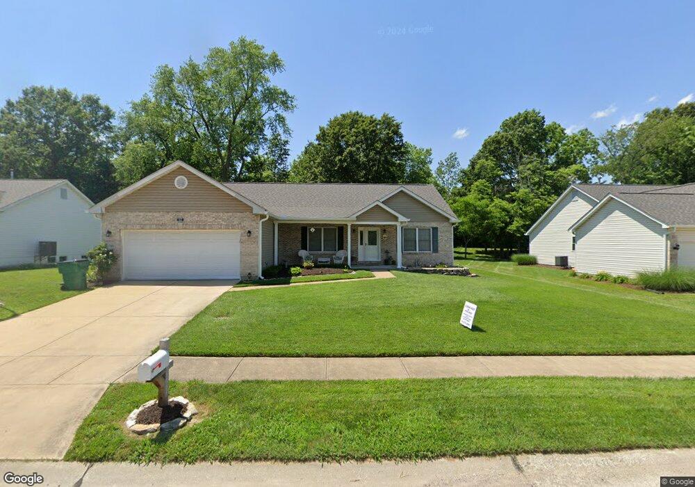
527 Sierra Ridge Ave Pacific, MO 63069
Estimated Value: $325,660 - $358,000
3
Beds
1
Bath
1,812
Sq Ft
$190/Sq Ft
Est. Value
About This Home
This home is located at 527 Sierra Ridge Ave, Pacific, MO 63069 and is currently estimated at $343,415, approximately $189 per square foot. 527 Sierra Ridge Ave is a home located in Franklin County with nearby schools including Pacific High School and St Bridget Elementary School.
Ownership History
Date
Name
Owned For
Owner Type
Purchase Details
Closed on
Jan 14, 2005
Sold by
Taylor John E
Bought by
Vanable Michael R and Vanable Barbara J
Current Estimated Value
Home Financials for this Owner
Home Financials are based on the most recent Mortgage that was taken out on this home.
Original Mortgage
$165,600
Outstanding Balance
$56,933
Interest Rate
1%
Mortgage Type
Adjustable Rate Mortgage/ARM
Estimated Equity
$286,482
Create a Home Valuation Report for This Property
The Home Valuation Report is an in-depth analysis detailing your home's value as well as a comparison with similar homes in the area
Home Values in the Area
Average Home Value in this Area
Purchase History
| Date | Buyer | Sale Price | Title Company |
|---|---|---|---|
| Vanable Michael R | -- | None Available |
Source: Public Records
Mortgage History
| Date | Status | Borrower | Loan Amount |
|---|---|---|---|
| Open | Vanable Michael R | $165,600 |
Source: Public Records
Tax History Compared to Growth
Tax History
| Year | Tax Paid | Tax Assessment Tax Assessment Total Assessment is a certain percentage of the fair market value that is determined by local assessors to be the total taxable value of land and additions on the property. | Land | Improvement |
|---|---|---|---|---|
| 2024 | $2,838 | $37,576 | $0 | $0 |
| 2023 | $2,838 | $37,576 | $0 | $0 |
| 2022 | $2,862 | $41,245 | $0 | $0 |
| 2021 | $2,849 | $41,245 | $0 | $0 |
| 2020 | $2,731 | $39,512 | $0 | $0 |
| 2019 | $2,727 | $39,512 | $0 | $0 |
| 2018 | $2,557 | $36,286 | $0 | $0 |
| 2017 | $2,539 | $36,286 | $0 | $0 |
| 2016 | $2,362 | $33,415 | $0 | $0 |
| 2015 | $2,298 | $33,415 | $0 | $0 |
| 2014 | $2,278 | $33,700 | $0 | $0 |
Source: Public Records
Map
Nearby Homes
- 2408 Mountain Peak Ct
- 2120 Old Gray Summit Rd
- 60 Cedar Brook Dr
- 137 Winter Wheat Trail
- 0 Bar Rd Unit 22617565
- 0 Bar Rd Unit MAR25005816
- 1009 Westlake Village Dr
- 1718 Highway N
- 1713 Lake Meade Dr
- 1704 Lake Meade Dr
- 1503 Peach Tree Ln
- 1505 Cypress Dr
- 905 Center St
- 941 Westridge Dr
- 1926 Ridge Ln
- 1829 Ridge Ln
- 34, 35, 36 Missouri Ave
- 1477 Meramec Ave
- 806 W Congress St
- 1654 Missouri Ave
- 523 Sierra Ridge Ave
- 603 Sierra Ridge Ave
- 904 Sierra Ridge Ave
- 2411 Misty Meadows Ct
- 519 Sierra Ridge Ave
- 607 Sierra Ridge Ave
- 2410 Misty Meadows Ct
- 515 Sierra Ridge Ave
- 611 Sierra Ridge Ave
- 520 Sierra Ridge Ave
- 2407 Misty Meadows Ct
- 510 Sierra Ridge Ave
- 2406 Misty Meadows Ct
- 2403 Misty Meadows Ct
- 2409 Mountain Peak Ct
- 511 Sierra Ridge Ave
- 511 Sierra Ridge Ave
- 615 Sierra Ridge Ave
- 2405 Mountain Peak Ct
- 507 Sierra Ridge Ave