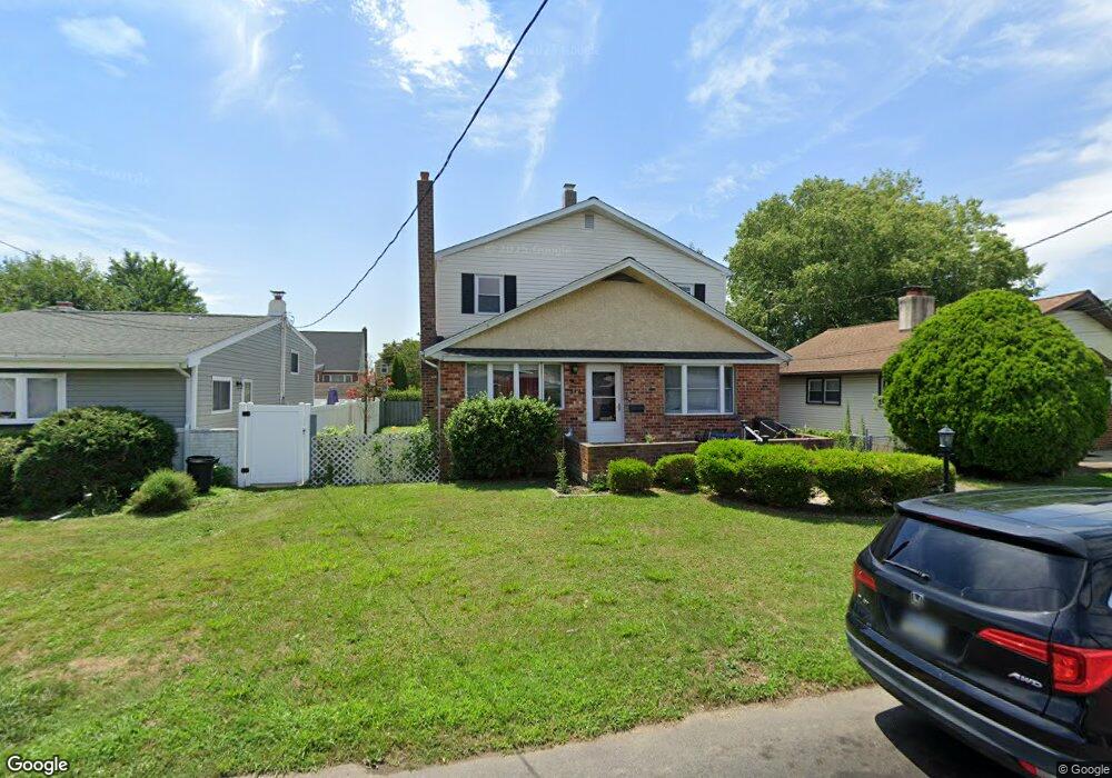
527 Springfield Ave Folsom, PA 19033
Estimated Value: $390,875 - $504,000
4
Beds
3
Baths
1,800
Sq Ft
$236/Sq Ft
Est. Value
About This Home
This home is located at 527 Springfield Ave, Folsom, PA 19033 and is currently estimated at $424,219, approximately $235 per square foot. 527 Springfield Ave is a home located in Delaware County with nearby schools including Edgewood Elementary School, Ridley Middle School, and Ridley High School.
Ownership History
Date
Name
Owned For
Owner Type
Purchase Details
Closed on
Jul 28, 2011
Sold by
Watts Brian and Watts Marianne
Bought by
Buckley Nicholas J
Current Estimated Value
Home Financials for this Owner
Home Financials are based on the most recent Mortgage that was taken out on this home.
Original Mortgage
$168,000
Outstanding Balance
$116,592
Interest Rate
4.62%
Mortgage Type
New Conventional
Estimated Equity
$307,627
Create a Home Valuation Report for This Property
The Home Valuation Report is an in-depth analysis detailing your home's value as well as a comparison with similar homes in the area
Home Values in the Area
Average Home Value in this Area
Purchase History
| Date | Buyer | Sale Price | Title Company |
|---|---|---|---|
| Buckley Nicholas J | $250,000 | None Available |
Source: Public Records
Mortgage History
| Date | Status | Borrower | Loan Amount |
|---|---|---|---|
| Open | Buckley Nicholas J | $168,000 |
Source: Public Records
Tax History Compared to Growth
Tax History
| Year | Tax Paid | Tax Assessment Tax Assessment Total Assessment is a certain percentage of the fair market value that is determined by local assessors to be the total taxable value of land and additions on the property. | Land | Improvement |
|---|---|---|---|---|
| 2025 | $7,241 | $208,550 | $55,230 | $153,320 |
| 2024 | $7,241 | $208,550 | $55,230 | $153,320 |
| 2023 | $6,926 | $208,550 | $55,230 | $153,320 |
| 2022 | $6,704 | $208,550 | $55,230 | $153,320 |
| 2021 | $10,378 | $208,550 | $55,230 | $153,320 |
| 2020 | $6,333 | $112,100 | $33,150 | $78,950 |
| 2019 | $6,217 | $112,100 | $33,150 | $78,950 |
| 2018 | $6,139 | $112,100 | $0 | $0 |
| 2017 | $6,139 | $112,100 | $0 | $0 |
| 2016 | $615 | $112,100 | $0 | $0 |
| 2015 | $615 | $112,100 | $0 | $0 |
| 2014 | $615 | $112,100 | $0 | $0 |
Source: Public Records
Map
Nearby Homes
- 537 Folsom Ave
- 1828 5th Ave
- 339 Sutton Ave
- 1620 Macdade Blvd
- 1905 Shasta Cir
- 222 Ridley Ave
- 505 Fernwood Ave
- 219 Ridley Ave
- 115 President Ave
- 121 Swarthmore Ave
- 510 Amosland Rd
- 516 Edgewood Ave
- 361 Amosland Rd
- 370 Amosland Rd
- 159 Maple Ave
- 2202 Clayton Rd
- 1806 Unity Terrace
- 1919 Pershing Ave
- 511 Clark Ave
- 712 Pearl Ave
- 523 Springfield Ave
- 524 Rutledge Ave
- 519 Springfield Ave
- 535 Springfield Ave
- 528 Rutledge Ave
- 520 Rutledge Ave
- 532 Rutledge Ave
- 516 Rutledge Ave
- 513 Springfield Ave
- 526 Springfield Ave
- 537 Springfield Ave
- 522 Springfield Ave
- 530 Springfield Ave
- 538 Rutledge Ave
- 512 Rutledge Ave
- 516 Springfield Ave
- 536 Springfield Ave
- 509 Springfield Ave
- 512 Springfield Ave
- 525 Rutledge Ave