J
Seller's Agent in 2019
John Parsons
Keller Williams Realty
Estimated Value: $177,957 - $423,000
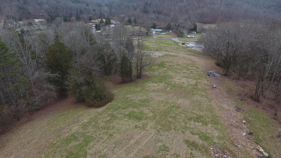
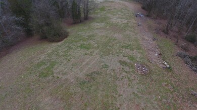
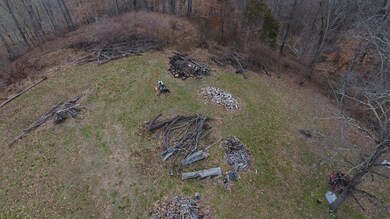
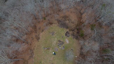
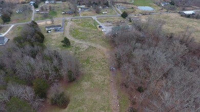
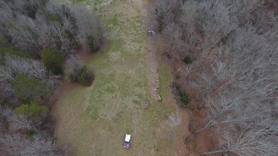
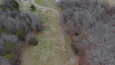
Come out and see this beautiful rolling property, perc test has been done, driveway cut in ready to build your dream home. Gorgeous country setting with lots of wild life.
Last Agent to Sell the Property
John Parsons
Keller Williams Realty License #336390 Listed on: 01/21/2019
Last Buyer's Agent
Non Member Non Member
Non-Member Office
| Date | Buyer | Sale Price | Title Company |
|---|---|---|---|
| Crosland William T | $70,000 | -- | |
| Crosland William T | $154,600 | -- |
| Date | Event | Price | List to Sale | Price per Sq Ft | Prior Sale |
|---|---|---|---|---|---|
| 03/15/2019 03/15/19 | Sold | $105,570 | +40.6% | -- | |
| 09/12/2014 09/12/14 | Sold | $75,100 | -- | -- | View Prior Sale |
| Year | Tax Paid | Tax Assessment Tax Assessment Total Assessment is a certain percentage of the fair market value that is determined by local assessors to be the total taxable value of land and additions on the property. | Land | Improvement |
|---|---|---|---|---|
| 2025 | $407 | $24,325 | $22,325 | $2,000 |
| 2024 | $407 | $15,475 | $11,425 | $4,050 |
| 2023 | $407 | $15,475 | $0 | $0 |
| 2022 | $407 | $15,475 | $11,425 | $4,050 |
| 2021 | $407 | $15,475 | $11,425 | $4,050 |
| 2020 | $584 | $15,475 | $11,425 | $4,050 |
| 2019 | $605 | $20,925 | $11,425 | $9,500 |
| 2018 | $580 | $20,925 | $11,425 | $9,500 |
| 2017 | $580 | $20,775 | $11,425 | $9,350 |
| 2016 | $580 | $20,775 | $11,425 | $9,350 |
| 2015 | -- | $20,775 | $11,425 | $9,350 |
| 2014 | -- | $20,775 | $11,425 | $9,350 |
| 2013 | -- | $24,325 | $0 | $0 |
J
Seller's Agent in 2019
John Parsons
Keller Williams Realty
N
Buyer's Agent in 2019
Non Member Non Member
Non-Member Office
J
Seller's Agent in 2014
Jill Dyer
Realty Executives Associates
1 in this area
34 Total Sales

Buyer's Agent in 2014
Derek Maples
Keller Williams Realty
(865) 603-1225
207 Total Sales
Source: East Tennessee REALTORS® MLS
MLS Number: 1067386
APN: 097-244.00
Disclaimer: Certain information contained herein is derived from information provided by parties other than Homes.com. All information provided is deemed reliable, but is not guaranteed to be accurate and should be independently verified.
![]() IDX information is provided exclusively for personal, non-commercial use, and may not be used for any purpose other than to identify prospective properties consumers may be interested in purchasing. Information is deemed reliable but not guaranteed.
IDX information is provided exclusively for personal, non-commercial use, and may not be used for any purpose other than to identify prospective properties consumers may be interested in purchasing. Information is deemed reliable but not guaranteed.
Listing Information presented by local MLS brokerage: Ten-X, LLC dba Homes.com, local broker - Arlene Richardson - 888-952-6393.
Ask me questions while you tour the home.