527 Upland Dr Manzanita, OR 97130
Estimated Value: $912,812 - $1,193,000
3
Beds
2
Baths
1,060
Sq Ft
$987/Sq Ft
Est. Value
About This Home
This home is located at 527 Upland Dr, Manzanita, OR 97130 and is currently estimated at $1,046,453, approximately $987 per square foot. 527 Upland Dr is a home located in Tillamook County with nearby schools including Nehalem Elementary School, Garibaldi Elementary School, and Neah-Kah-Nie Middle School.
Ownership History
Date
Name
Owned For
Owner Type
Purchase Details
Closed on
Feb 28, 2017
Sold by
Trumper James D and Trumper Karen M
Bought by
Trumper James D and Trumper Karen M
Current Estimated Value
Purchase Details
Closed on
Jun 16, 2014
Sold by
Westhaver Mona L
Bought by
Trumper James D and Trumper Karen M
Purchase Details
Closed on
Mar 2, 2005
Sold by
Ridley Kim W and Ridley Cynthia A
Bought by
Westhaver Mona L
Create a Home Valuation Report for This Property
The Home Valuation Report is an in-depth analysis detailing your home's value as well as a comparison with similar homes in the area
Home Values in the Area
Average Home Value in this Area
Purchase History
| Date | Buyer | Sale Price | Title Company |
|---|---|---|---|
| Trumper James D | -- | None Available | |
| Trumper James D | $460,000 | Ticor Title Company | |
| Westhaver Mona L | $549,000 | Ticor Title Ins Co |
Source: Public Records
Tax History Compared to Growth
Tax History
| Year | Tax Paid | Tax Assessment Tax Assessment Total Assessment is a certain percentage of the fair market value that is determined by local assessors to be the total taxable value of land and additions on the property. | Land | Improvement |
|---|---|---|---|---|
| 2024 | $5,781 | $490,130 | $132,870 | $357,260 |
| 2023 | $5,730 | $475,860 | $129,010 | $346,850 |
| 2022 | $5,388 | $462,000 | $125,250 | $336,750 |
| 2021 | $5,227 | $448,550 | $121,600 | $326,950 |
| 2020 | $5,020 | $435,490 | $118,060 | $317,430 |
| 2019 | $4,878 | $422,810 | $114,620 | $308,190 |
| 2018 | $4,752 | $410,500 | $111,280 | $299,220 |
| 2017 | $4,617 | $398,550 | $108,030 | $290,520 |
| 2016 | $4,484 | $386,950 | $104,880 | $282,070 |
| 2015 | $4,402 | $375,680 | $101,830 | $273,850 |
| 2014 | $4,329 | $364,740 | $98,860 | $265,880 |
| 2013 | -- | $354,120 | $95,980 | $258,140 |
Source: Public Records
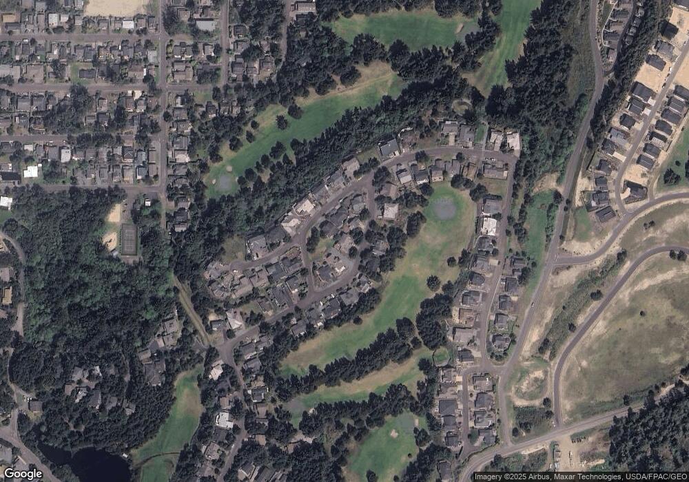
Map
Nearby Homes
- 388 Ridge Ct
- 559 Ridge Dr
- 370 4th Place S
- 368 4th Place
- 558 Sea View Dr
- 558 Seaview Dr
- 473 Meadows Dr
- 0 Laneda at 4th Place Unit 24456685
- 0 Laneda at 4th Place Unit 24-691
- 1036 Beach Cir
- 0 Pine Ridge Dr Unit 24394081
- 0 Pine Ridge Dr Unit 141 24100339
- 0 Pine Ridge Dr Unit 147 24535382
- 0 Pine Ridge Dr Unit 71 24554922
- 70 Meadows Dr Unit 70
- lot 70 Meadows
- 34807 Necarney (34809) Blvd
- 34807 Necarney (-34809) Bl
- 496 Meadows Dr
- 483 Meadows Dr