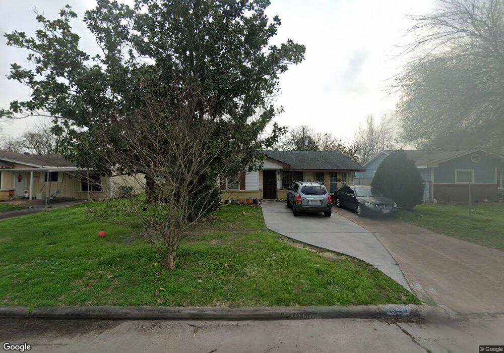
527 W Obion Rd Houston, TX 77091
Northside-Northline NeighborhoodEstimated Value: $166,308 - $194,000
3
Beds
1
Bath
1,010
Sq Ft
$183/Sq Ft
Est. Value
About This Home
This home is located at 527 W Obion Rd, Houston, TX 77091 and is currently estimated at $184,827, approximately $182 per square foot. 527 W Obion Rd is a home located in Harris County with nearby schools including Wesley Elementary School, Williams Middle, and Booker T Washington Sr High.
Ownership History
Date
Name
Owned For
Owner Type
Purchase Details
Closed on
Jan 16, 1999
Sold by
Ballesteros Amelia R
Bought by
Hernandez Jose R and Hernandez Noelia G
Current Estimated Value
Home Financials for this Owner
Home Financials are based on the most recent Mortgage that was taken out on this home.
Original Mortgage
$48,000
Outstanding Balance
$11,057
Interest Rate
6.68%
Mortgage Type
Purchase Money Mortgage
Estimated Equity
$173,770
Create a Home Valuation Report for This Property
The Home Valuation Report is an in-depth analysis detailing your home's value as well as a comparison with similar homes in the area
Home Values in the Area
Average Home Value in this Area
Purchase History
| Date | Buyer | Sale Price | Title Company |
|---|---|---|---|
| Hernandez Jose R | $50,000 | -- |
Source: Public Records
Mortgage History
| Date | Status | Borrower | Loan Amount |
|---|---|---|---|
| Open | Hernandez Jose R | $48,000 |
Source: Public Records
Tax History Compared to Growth
Tax History
| Year | Tax Paid | Tax Assessment Tax Assessment Total Assessment is a certain percentage of the fair market value that is determined by local assessors to be the total taxable value of land and additions on the property. | Land | Improvement |
|---|---|---|---|---|
| 2025 | $1,442 | $174,982 | $71,920 | $103,062 |
| 2024 | $1,442 | $174,982 | $71,920 | $103,062 |
| 2023 | $1,442 | $164,452 | $71,920 | $92,532 |
| 2022 | $2,507 | $120,800 | $50,344 | $70,456 |
| 2021 | $2,412 | $118,011 | $50,344 | $67,667 |
| 2020 | $2,279 | $110,619 | $50,344 | $60,275 |
| 2019 | $2,165 | $99,279 | $35,960 | $63,319 |
| 2018 | $1,280 | $81,199 | $21,576 | $59,623 |
| 2017 | $1,788 | $70,698 | $21,576 | $49,122 |
| 2016 | $1,788 | $70,698 | $21,576 | $49,122 |
| 2015 | $1,282 | $70,698 | $21,576 | $49,122 |
| 2014 | $1,282 | $70,698 | $21,576 | $49,122 |
Source: Public Records
Map
Nearby Homes
- 6100 Stuebner Airline Rd
- 0 Pickering St
- 422 Surratt Dr
- 434 Yale Oaks Ln
- 422 Yale Oaks Ln
- 427 Yale Oaks Ln
- 6057 Yale St
- 522 Surratt Dr
- 410 Yale Oaks Ln
- 406 Red Ripple Rd
- 334 Yale Oaks Ln
- 609 W Parker Rd
- 327 Yale Oaks Ln
- 615 Northew St Unit J
- 615 Northew St Unit K
- 6315 N Shepherd Dr
- 5736 Stuebner Airline Rd
- 0 Brinkman Unit 54849680
- 201 W Rosamond St Unit 41
- 201 W Rosamond St Unit 53