5270 Spalding Bridge Ct Unit 1 Norcross, GA 30092
Estimated Value: $665,769 - $747,000
4
Beds
4
Baths
3,236
Sq Ft
$214/Sq Ft
Est. Value
About This Home
This home is located at 5270 Spalding Bridge Ct Unit 1, Norcross, GA 30092 and is currently estimated at $692,442, approximately $213 per square foot. 5270 Spalding Bridge Ct Unit 1 is a home located in Gwinnett County with nearby schools including Simpson Elementary School, Pinckneyville Middle School, and Norcross High School.
Ownership History
Date
Name
Owned For
Owner Type
Purchase Details
Closed on
May 24, 2002
Sold by
Robinson Tim C and Robinson Amy J
Bought by
Follmer Byron E and Follmer Maxine Y
Current Estimated Value
Home Financials for this Owner
Home Financials are based on the most recent Mortgage that was taken out on this home.
Original Mortgage
$283,100
Outstanding Balance
$109,454
Interest Rate
5.87%
Mortgage Type
New Conventional
Estimated Equity
$582,988
Purchase Details
Closed on
May 23, 2000
Sold by
Torrey D R Horton Inc
Bought by
Robinson Tim C and Robinson Amy J
Home Financials for this Owner
Home Financials are based on the most recent Mortgage that was taken out on this home.
Original Mortgage
$210,300
Interest Rate
7.88%
Mortgage Type
New Conventional
Create a Home Valuation Report for This Property
The Home Valuation Report is an in-depth analysis detailing your home's value as well as a comparison with similar homes in the area
Home Values in the Area
Average Home Value in this Area
Purchase History
| Date | Buyer | Sale Price | Title Company |
|---|---|---|---|
| Follmer Byron E | $298,000 | -- | |
| Robinson Tim C | $263,000 | -- |
Source: Public Records
Mortgage History
| Date | Status | Borrower | Loan Amount |
|---|---|---|---|
| Open | Follmer Byron E | $283,100 | |
| Previous Owner | Robinson Tim C | $210,300 |
Source: Public Records
Tax History Compared to Growth
Tax History
| Year | Tax Paid | Tax Assessment Tax Assessment Total Assessment is a certain percentage of the fair market value that is determined by local assessors to be the total taxable value of land and additions on the property. | Land | Improvement |
|---|---|---|---|---|
| 2025 | $6,901 | $267,200 | $50,160 | $217,040 |
| 2024 | $6,555 | $242,480 | $43,600 | $198,880 |
| 2023 | $6,555 | $242,480 | $43,600 | $198,880 |
| 2022 | $5,964 | $213,320 | $43,600 | $169,720 |
| 2021 | $4,933 | $158,360 | $32,320 | $126,040 |
| 2020 | $4,966 | $158,360 | $32,320 | $126,040 |
| 2019 | $4,614 | $148,240 | $24,800 | $123,440 |
| 2018 | $4,630 | $148,240 | $24,800 | $123,440 |
| 2016 | $4,438 | $141,120 | $24,800 | $116,320 |
| 2015 | $4,099 | $123,640 | $24,800 | $98,840 |
| 2014 | $3,939 | $121,640 | $24,800 | $96,840 |
Source: Public Records
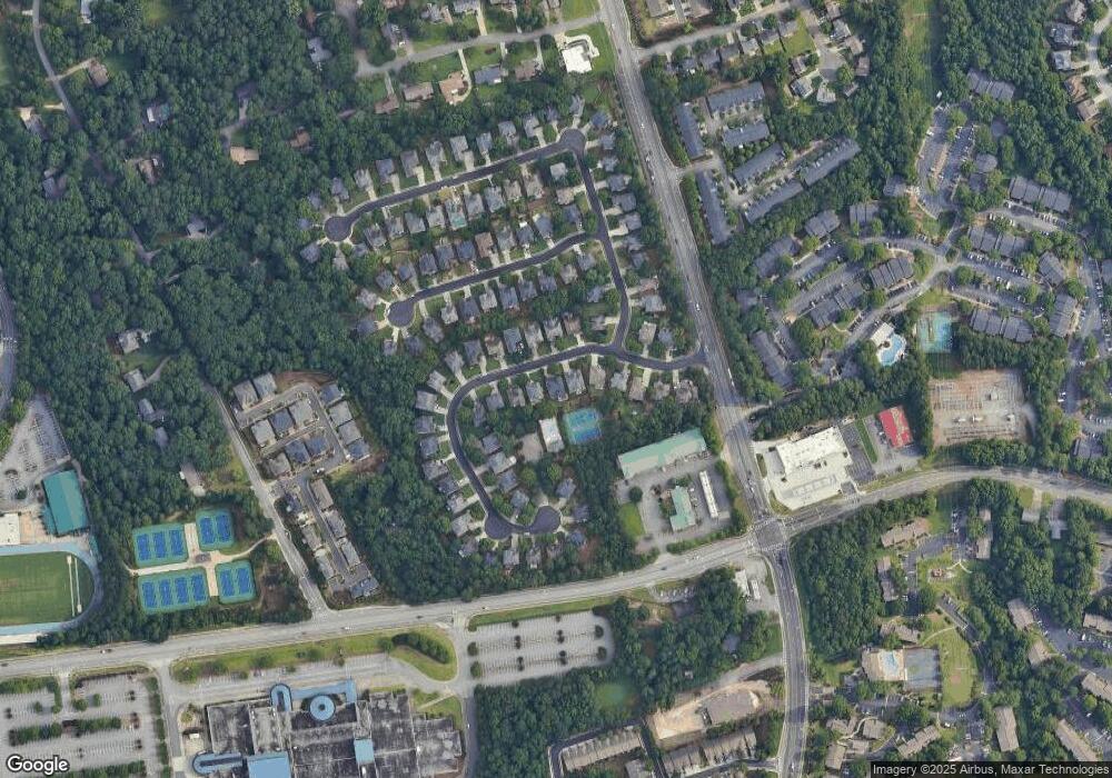
Map
Nearby Homes
- 5355 Spalding Bridge Ct
- 3630 Bridge Mill Ct Unit 2
- 3225 Claudia Place
- 3239 Claudia Ct
- 3204 Claudia Place
- 3179 Rock Port Cir
- 5211 Montine Way
- 3725 Highcroft Cir
- 3680 Highcroft Cir
- 5196 Medlock Corners Dr
- 5064 Insperon Ln Unit 34
- Olmstead Plan at Town Center Overlook
- Lynnwood Plan at Town Center Overlook
- 0 Medlock Bridge Rd Unit 7311679
- 4897 Lou Ivy Rd
- 3875 Ancroft Cir
- 4924 Waterport Way
- 3330 Avocet Ct
- 5260 Spalding Bridge Ct Unit I
- 5280 Spalding Bridge Ct
- 5290 Spalding Bridge Ct
- 5240 Spalding Bridge Ct
- 5275 Spalding Bridge Ct
- 5300 Spalding Bridge Ct
- 5230 Spalding Bridge Ct Unit 1
- 5285 Spalding Bridge Ct
- 5255 Spalding Bridge Ct
- 5295 Spalding Bridge Ct
- 3400 Bridge Mill Ct
- 5245 Spalding Bridge Ct
- 5220 Spalding Bridge Ct Unit 1
- 5360 Spalding Bridge Ct
- 5330 Spalding Bridge Ct
- 5305 Spalding Bridge Ct Unit 1
- 5370 Spalding Bridge Ct
- 5460 Spalding Bridge Ct
- 5282 Spalding Mill Place
- 5272 Spalding Mill Place