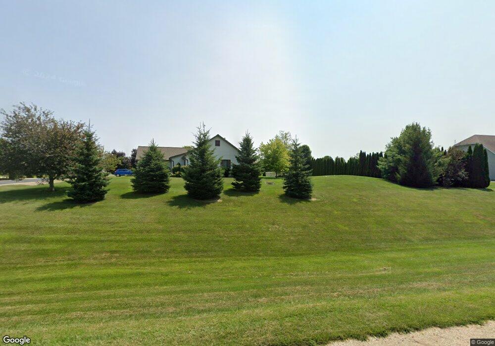
5271 High Ridge Trail Unit 28 West Bend, WI 53095
Estimated Value: $381,000 - $576,000
--
Bed
--
Bath
--
Sq Ft
--
Built
About This Home
This home is located at 5271 High Ridge Trail Unit 28, West Bend, WI 53095 and is currently estimated at $480,787. 5271 High Ridge Trail Unit 28 is a home located in Washington County with nearby schools including Jackson Elementary School, Badger Middle School, and East High School.
Ownership History
Date
Name
Owned For
Owner Type
Purchase Details
Closed on
May 27, 2011
Sold by
Davies Mark C and Nordskog Mary K
Bought by
Farmer Robert K and Farmer Tania E
Current Estimated Value
Home Financials for this Owner
Home Financials are based on the most recent Mortgage that was taken out on this home.
Original Mortgage
$288,000
Outstanding Balance
$198,787
Interest Rate
4.81%
Mortgage Type
Unknown
Estimated Equity
$282,000
Create a Home Valuation Report for This Property
The Home Valuation Report is an in-depth analysis detailing your home's value as well as a comparison with similar homes in the area
Home Values in the Area
Average Home Value in this Area
Purchase History
| Date | Buyer | Sale Price | Title Company |
|---|---|---|---|
| Farmer Robert K | $237,000 | None Available |
Source: Public Records
Mortgage History
| Date | Status | Borrower | Loan Amount |
|---|---|---|---|
| Open | Farmer Robert K | $288,000 |
Source: Public Records
Tax History Compared to Growth
Tax History
| Year | Tax Paid | Tax Assessment Tax Assessment Total Assessment is a certain percentage of the fair market value that is determined by local assessors to be the total taxable value of land and additions on the property. | Land | Improvement |
|---|---|---|---|---|
| 2024 | $3,614 | $410,000 | $61,200 | $348,800 |
| 2023 | $3,090 | $317,900 | $51,000 | $266,900 |
| 2022 | $3,379 | $317,900 | $51,000 | $266,900 |
| 2021 | $3,441 | $317,900 | $51,000 | $266,900 |
| 2020 | $3,611 | $272,300 | $50,000 | $222,300 |
| 2019 | $3,352 | $272,300 | $50,000 | $222,300 |
| 2018 | $3,352 | $272,300 | $50,000 | $222,300 |
| 2017 | $3,348 | $272,300 | $50,000 | $222,300 |
| 2016 | $3,232 | $250,400 | $50,000 | $200,400 |
| 2015 | $3,282 | $250,400 | $50,000 | $200,400 |
| 2014 | $3,282 | $249,200 | $50,000 | $199,200 |
| 2013 | $3,611 | $288,300 | $66,000 | $222,300 |
Source: Public Records
Map
Nearby Homes
- 5220 High Ridge Trail
- 2490 S River Rd
- Lt1 County Highway Nn
- 5258 Maple Rd
- 2040 Paradise Hills Ct
- 5296 County Highway P
- 1130 S River Rd
- 1275 Shadowood Cir Unit 110
- 1980 Paradise Dr
- 1301 Goldcrest Ct
- 1125 Anchor Ave
- 1117 Anchor Ave
- 1063 Anchor Ave
- 1071 Anchor Ave
- 2600 S Main St
- 1317 S 7th Ave
- 1040 Lincoln Dr W
- 2245 E Decorah Rd
- 1403 Carriage Dr
- 638 Vine St
- 5263 High Ridge Trail Unit 30
- 5243 High Ridge Trail
- 5250 High Ridge Trail
- 5252 High Ridge Trail
- 5246 High Ridge Trail
- 5254 High Ridge Trail
- 5265 High Ridge Trail
- 5258 High Ridge Trail
- 5256 High Ridge Trail
- 5239 High Ridge Trail
- 5260 High Ridge Trail
- 5242 High Ridge Trail
- 5264 High Ridge Trail
- 5219 High Ridge Trail
- 5215 High Ridge Trail
- 5249 High Ridge Trail
- 5238 High Ridge Trail
- 5207 High Ridge Trail
- 5268 High Ridge Trail
- 5223 High Ridge Trail