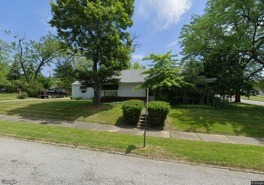
5271 Philip Ave Maple Heights, OH 44137
Estimated Value: $118,000 - $169,000
3
Beds
1
Bath
1,086
Sq Ft
$125/Sq Ft
Est. Value
About This Home
This home is located at 5271 Philip Ave, Maple Heights, OH 44137 and is currently estimated at $136,093, approximately $125 per square foot. 5271 Philip Ave is a home located in Cuyahoga County with nearby schools including Abraham Lincoln Elementary School, Rockside/ J.F. Kennedy School, and Italy High School.
Ownership History
Date
Name
Owned For
Owner Type
Purchase Details
Closed on
Apr 4, 2002
Sold by
Kuhlenschmidt Wilbur E and Kuhlenschmidt Betty J
Bought by
Felder Patricia A
Current Estimated Value
Home Financials for this Owner
Home Financials are based on the most recent Mortgage that was taken out on this home.
Original Mortgage
$95,004
Outstanding Balance
$39,552
Interest Rate
6.87%
Mortgage Type
FHA
Estimated Equity
$96,541
Purchase Details
Closed on
Sep 4, 1984
Sold by
Betty J
Bought by
Kuhlenschmidt Wilbur E
Purchase Details
Closed on
Jan 1, 1975
Bought by
Betty J
Create a Home Valuation Report for This Property
The Home Valuation Report is an in-depth analysis detailing your home's value as well as a comparison with similar homes in the area
Home Values in the Area
Average Home Value in this Area
Purchase History
| Date | Buyer | Sale Price | Title Company |
|---|---|---|---|
| Felder Patricia A | $96,500 | Executive Title Agency Corp | |
| Kuhlenschmidt Wilbur E | -- | -- | |
| Betty J | -- | -- |
Source: Public Records
Mortgage History
| Date | Status | Borrower | Loan Amount |
|---|---|---|---|
| Open | Felder Patricia A | $95,004 |
Source: Public Records
Tax History Compared to Growth
Tax History
| Year | Tax Paid | Tax Assessment Tax Assessment Total Assessment is a certain percentage of the fair market value that is determined by local assessors to be the total taxable value of land and additions on the property. | Land | Improvement |
|---|---|---|---|---|
| 2024 | $2,341 | $34,615 | $8,435 | $26,180 |
| 2023 | $1,411 | $20,970 | $6,370 | $14,600 |
| 2022 | $1,444 | $20,970 | $6,370 | $14,600 |
| 2021 | $1,530 | $20,970 | $6,370 | $14,600 |
| 2020 | $1,103 | $15,890 | $4,830 | $11,060 |
| 2019 | $1,085 | $45,400 | $13,800 | $31,600 |
| 2018 | $1,078 | $15,890 | $4,830 | $11,060 |
| 2017 | $916 | $14,250 | $4,480 | $9,770 |
| 2016 | $877 | $14,250 | $4,480 | $9,770 |
| 2015 | $941 | $14,250 | $4,480 | $9,770 |
| 2014 | $941 | $15,650 | $4,940 | $10,710 |
Source: Public Records
Map
Nearby Homes
- 5257 Philip Ave
- 5231 Philip Ave
- 17912 North Blvd
- 17916 North Blvd
- 5212 Catherine St
- 5320 Clement Ave
- 5239 Arch St
- 17204 Maple Heights Blvd
- 5425 Grasmere Ave
- 5185 Clement Ave
- 5199 Arch St
- 5208 Clement Ave
- 5234 Erwin St
- 5493 Thomas St
- 5110 Philip Ave
- 5082 Philip Ave
- 5540 Dalewood Ave
- 5210 Theodore St
- 5061 Philip Ave
- 5562 Dalewood Ave
- 17505 Libby Rd
- 5270 Philip Ave
- 17515 Libby Rd
- 17377 Libby Rd
- 17377 Libby Rd Unit 3
- 5253 Philip Ave
- 17631 Libby Rd
- 5262 Thomas St
- 5256 Philip Ave
- 17500 Libby Rd
- 17400 Libby Rd
- 17508 Libby Rd
- 5254 Philip Ave
- 5254 Thomas St
- 17362 Libby Rd
- 5247 Philip Ave
- 5250 Philip Ave
- 17325 Libby Rd
- 5250 Thomas St
- 5221 Catherine St