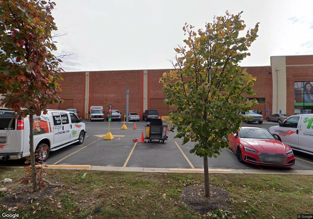
5271 Port Royal Rd Springfield, VA 22151
Estimated Value: $21,258,163
Studio
--
Bath
98,500
Sq Ft
$216/Sq Ft
Est. Value
About This Home
This home is located at 5271 Port Royal Rd, Springfield, VA 22151 and is currently estimated at $21,258,163, approximately $215 per square foot. 5271 Port Royal Rd is a home located in Fairfax County with nearby schools including Ravensworth Elementary School, Lake Braddock Secondary School, and St. Michael School.
Ownership History
Date
Name
Owned For
Owner Type
Purchase Details
Closed on
May 7, 2013
Sold by
Jackson Sub Tr Joseph F
Bought by
Arec 2018 Llc
Current Estimated Value
Purchase Details
Closed on
Sep 13, 2007
Sold by
Elman Springfield Assoc
Bought by
5285 Port Royal
Create a Home Valuation Report for This Property
The Home Valuation Report is an in-depth analysis detailing your home's value as well as a comparison with similar homes in the area
Home Values in the Area
Average Home Value in this Area
Purchase History
| Date | Buyer | Sale Price | Title Company |
|---|---|---|---|
| Arec 2018 Llc | $8,000,000 | -- | |
| 5285 Port Royal | $14,000,000 | -- |
Source: Public Records
Tax History
| Year | Tax Paid | Tax Assessment Tax Assessment Total Assessment is a certain percentage of the fair market value that is determined by local assessors to be the total taxable value of land and additions on the property. | Land | Improvement |
|---|---|---|---|---|
| 2025 | $143,001 | $12,010,810 | $2,366,880 | $9,643,930 |
| 2023 | $139,343 | $11,116,280 | $2,366,880 | $8,749,400 |
| 2022 | $126,179 | $9,947,080 | $2,366,880 | $7,580,200 |
| 2021 | $128,989 | $9,933,710 | $2,366,880 | $7,566,830 |
| 2020 | $129,983 | $9,933,710 | $2,366,880 | $7,566,830 |
| 2019 | $101,108 | $7,726,980 | $2,366,880 | $5,360,100 |
| 2018 | $55,144 | $4,795,090 | $1,183,440 | $3,611,650 |
| 2017 | $60,118 | $4,674,800 | $1,183,440 | $3,491,360 |
| 2016 | $60,901 | $4,744,930 | $1,183,440 | $3,561,490 |
Source: Public Records
Map
Nearby Homes
- 7727 Kalorama Rd
- 7921 Foote Ln
- 5404 Nutting Dr
- 5008 Terrell St
- 5417 Juliet St
- 4960 Schuyler Dr
- 4900 Schuyler Dr
- 5633 Inverchapel Rd
- 4909 Americana Dr Unit 106
- 4901 Americana Dr Unit 202
- 4903 Americana Dr Unit 107
- 4917 Erie St
- 4917 Herkimer St
- 8309 Highcliffe Ct
- 7800 Winona Ct
- 7669 Long Pine Dr
- 8318 Uxbridge Ct
- 7318 Chatham St
- 7839 Heritage Dr
- 8434 Thames St
- XX Rural
- 5285 Port Royal Rd
- 5265 Port Royal Rd
- 5260 Port Royal Rd
- 5270 Port Royal Rd
- 5280 Port Royal Rd
- 5261 Port Royal Rd
- 5323 Port Royal Rd
- 5344 Ravensworth Rd
- 5342 Ravensworth Rd
- 5346 Ravensworth Rd
- 5340 Ravensworth Rd
- 5338 Ravensworth Rd
- 5348 Ravensworth Rd
- 5255 Port Royal Rd
- 5336 Ravensworth Rd
- 8001 Forbes Place
- 5334 Ravensworth Rd
- 5350 Ravensworth Rd
- 5332 Ravensworth Rd
Your Personal Tour Guide
Ask me questions while you tour the home.