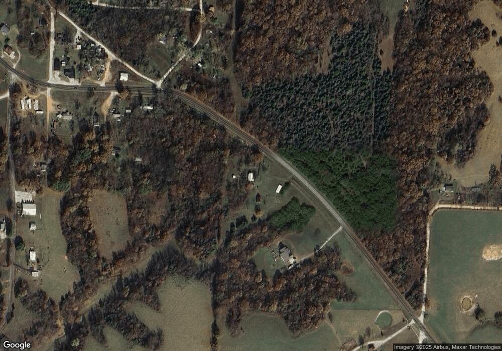
5271 State Highway 76 Exeter, MO 65647
Estimated Value: $111,286 - $260,000
2
Beds
1
Bath
936
Sq Ft
$197/Sq Ft
Est. Value
About This Home
This home is located at 5271 State Highway 76, Exeter, MO 65647 and is currently estimated at $184,429, approximately $197 per square foot. 5271 State Highway 76 is a home with nearby schools including Wheaton Elementary School and Wheaton High School.
Ownership History
Date
Name
Owned For
Owner Type
Purchase Details
Closed on
Nov 29, 2022
Sold by
Parks Larry W
Bought by
Parks Marilyn C
Current Estimated Value
Purchase Details
Closed on
Jul 22, 2013
Sold by
England Leslie Allen and England Jan
Bought by
Parks Larry W and Parks Marilyn C
Home Financials for this Owner
Home Financials are based on the most recent Mortgage that was taken out on this home.
Original Mortgage
$37,680
Interest Rate
3.93%
Mortgage Type
New Conventional
Create a Home Valuation Report for This Property
The Home Valuation Report is an in-depth analysis detailing your home's value as well as a comparison with similar homes in the area
Purchase History
| Date | Buyer | Sale Price | Title Company |
|---|---|---|---|
| Parks Marilyn C | -- | None Listed On Document | |
| Parks Larry W | -- | Security Abstract & Title |
Source: Public Records
Mortgage History
| Date | Status | Borrower | Loan Amount |
|---|---|---|---|
| Previous Owner | Parks Larry W | $37,680 |
Source: Public Records
Tax History Compared to Growth
Tax History
| Year | Tax Paid | Tax Assessment Tax Assessment Total Assessment is a certain percentage of the fair market value that is determined by local assessors to be the total taxable value of land and additions on the property. | Land | Improvement |
|---|---|---|---|---|
| 2025 | $261 | $5,846 | $2,020 | $3,826 |
| 2024 | $3 | $5,542 | $2,020 | $3,522 |
| 2023 | $261 | $5,542 | $2,020 | $3,522 |
| 2022 | $252 | $5,352 | $1,830 | $3,522 |
| 2020 | $290 | $6,141 | $2,559 | $3,582 |
| 2018 | $286 | $6,153 | $2,571 | $3,582 |
| 2017 | $286 | $6,153 | $2,571 | $3,582 |
| 2016 | $269 | $5,732 | $2,286 | $3,446 |
| 2015 | -- | $5,732 | $2,286 | $3,446 |
| 2014 | -- | $5,708 | $2,262 | $3,446 |
| 2012 | -- | $0 | $0 | $0 |
Source: Public Records
Map
Nearby Homes
- 6729 State Highway 76
- Tbd Farm Road 1040
- 000 Farm Road 1047
- 1067 Farm Road 2170
- 000-4 Farm Road 2187
- 000-3 Farm Road 2187
- 000 Farm Road 2160
- 3966 Farm Road 2190
- 16509 Farm Road 1062
- 5890 Farm Road 2190
- 19618 Farm Road 1010
- 19760 Farm Road 1042
- 19799 Farm Road 1043
- 12AC Farm Road 2182
- 615 Thomas Hollow Rd
- 12791 Farm Road 1045
- 000
- 214 E Wilson St
- 309 E Carnes St
- 000 S Mcqueen Ave
- 5393 State Highway 76
- 16346 Farm Road 1030
- 16452 Private Road 1028
- 16329 Farm Road 1030
- 16420 Private Road 1028
- 16298 Farm Road 1030
- 2936 Farm Road 2164
- 5044 State Highway 76
- 5003 State Hwy 76
- 5003 State Highway 76
- 665 Farm Road 2150
- 4995 State Highway 76
- 26559 Stallion Bluff Rd
- 5026 State Highway 76
- 2970 Farm Road 2164
- 5537 State Highway 76
- 5680 State Highway 76
- 3776 Farm Road 2165
- 2850 Farm Road 2164
- 16622 Farm Road 1027
