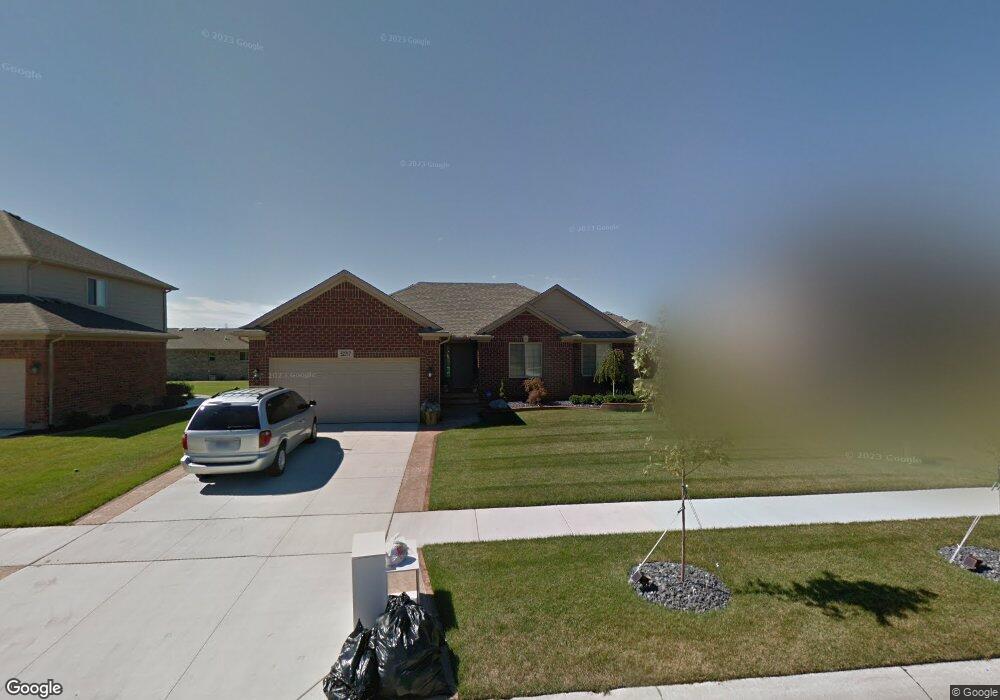
52717 Delena Dr Macomb, MI 48042
Estimated Value: $402,000 - $467,000
3
Beds
2
Baths
1,648
Sq Ft
$262/Sq Ft
Est. Value
About This Home
This home is located at 52717 Delena Dr, Macomb, MI 48042 and is currently estimated at $431,943, approximately $262 per square foot. 52717 Delena Dr is a home with nearby schools including New Haven High School, St. Peter Lutheran School, and Austin Catholic Academy.
Ownership History
Date
Name
Owned For
Owner Type
Purchase Details
Closed on
Mar 19, 2012
Sold by
Acadia Development Group Llc
Bought by
Acadia Home Builders Llc
Current Estimated Value
Home Financials for this Owner
Home Financials are based on the most recent Mortgage that was taken out on this home.
Original Mortgage
$172,513
Outstanding Balance
$117,482
Interest Rate
3.69%
Mortgage Type
FHA
Estimated Equity
$314,461
Purchase Details
Closed on
May 18, 2009
Sold by
Elan Estates Corp
Bought by
S E Michigan Development Llc
Create a Home Valuation Report for This Property
The Home Valuation Report is an in-depth analysis detailing your home's value as well as a comparison with similar homes in the area
Home Values in the Area
Average Home Value in this Area
Purchase History
| Date | Buyer | Sale Price | Title Company |
|---|---|---|---|
| Acadia Home Builders Llc | -- | First American Title Ins Co | |
| S E Michigan Development Llc | -- | None Available |
Source: Public Records
Mortgage History
| Date | Status | Borrower | Loan Amount |
|---|---|---|---|
| Open | Acadia Home Builders Llc | $172,513 |
Source: Public Records
Tax History Compared to Growth
Tax History
| Year | Tax Paid | Tax Assessment Tax Assessment Total Assessment is a certain percentage of the fair market value that is determined by local assessors to be the total taxable value of land and additions on the property. | Land | Improvement |
|---|---|---|---|---|
| 2025 | $4,040 | $195,900 | $0 | $0 |
| 2024 | $2,542 | $190,400 | $0 | $0 |
| 2023 | $2,409 | $180,300 | $0 | $0 |
| 2022 | $3,662 | $156,900 | $0 | $0 |
| 2021 | $3,560 | $151,200 | $0 | $0 |
| 2020 | $2,215 | $149,300 | $0 | $0 |
| 2019 | $3,295 | $137,000 | $0 | $0 |
| 2018 | $3,135 | $131,800 | $0 | $0 |
| 2017 | $3,072 | $121,920 | $30,000 | $91,920 |
| 2016 | $2,911 | $121,920 | $0 | $0 |
| 2015 | $2,918 | $112,850 | $0 | $0 |
| 2014 | $2,918 | $96,100 | $17,000 | $79,100 |
| 2011 | -- | $15,000 | $15,000 | $0 |
Source: Public Records
Map
Nearby Homes
- 52634 Delena Dr
- 52527 Stafford Dr
- 22211 24 Mile Rd
- 52966 Ansonia Way Unit 36
- 00 24 Mile Rd
- 22059 Aberdeen Dr Unit 71
- 21925 Andover Dr
- 21862 Hanover Dr
- 52885 Ansonia Way
- 21904 Aberdeen Dr
- 22495 24 Mile Rd
- 22258 Prairie Dr
- 52149 Naugatuck Dr Unit 27
- Woodside Plan at Deerbrook
- Hilltop Plan at Deerbrook
- Greenfield Plan at Deerbrook
- Riverton Plan at Deerbrook
- Willwood Plan at Deerbrook
- 22429 Orchard Brook Ct
- 52590 North Ave
- 52693 Delena Dr
- 52741 Delena Dr
- 22269 Danielle Dr
- 22269 Danielle Dr
- 22272 Rhys Dr
- 22251 Danielle Dr
- 22254 Rhys Dr
- 52730 Delena Dr
- 52706 Delena Dr
- 52754 Delena Dr
- 52682 Delena Dr
- 22299 Rhys Dr
- 22236 Rhys Dr
- 22276 Danielle Dr
- 52778 Delena Dr
- 52658 Delena Dr
- 22281 Rhys Dr
- 22263 Rhys Dr
- 22258 Danielle Dr
- 52802 Delena Dr