52717 S Bennett Rd Independence, LA 70443
Estimated Value: $235,000 - $328,000
About This Home
This home is located at 52717 S Bennett Rd, Independence, LA 70443 and is currently estimated at $271,932, approximately $212 per square foot. 52717 S Bennett Rd is a home located in Tangipahoa Parish with nearby schools including Loranger Elementary School, Loranger Middle School, and Loranger High School.
Ownership History
We collect this data history from publicly available records. To have your information removed, we recommend requesting removal directly through your county’s website.
Purchase Details
Home Financials for this Owner
Home Financials are based on the most recent Mortgage that was taken out on this home.Purchase History
We collect this data history from publicly available records. To have your information removed, we recommend requesting removal directly through your county’s website.
| Date | Buyer | Sale Price | Title Company |
|---|---|---|---|
| $143,000 | None Available |
Mortgage History
We collect this data history from publicly available records. To have your information removed, we recommend requesting removal directly through your county’s website.
| Date | Status | Borrower | Loan Amount |
|---|---|---|---|
| Open | $113,000 |
Tax History
We collect this data history from publicly available records. To have your information removed, we recommend requesting removal directly through your county’s website.
| Year | Tax Paid | Tax Assessment Tax Assessment Total Assessment is a certain percentage of the fair market value that is determined by local assessors to be the total taxable value of land and additions on the property. | Land | Improvement |
|---|---|---|---|---|
| 2025 | $893 | $12,379 | $1,957 | $10,422 |
| 2024 | $888 | $12,379 | $1,957 | $10,422 |
| 2023 | $866 | $12,007 | $1,812 | $10,195 |
| 2022 | $866 | $12,007 | $1,812 | $10,195 |
| 2021 | $331 | $12,007 | $1,812 | $10,195 |
| 2020 | $866 | $12,007 | $1,812 | $10,195 |
| 2019 | $866 | $12,007 | $1,812 | $10,195 |
| 2018 | $866 | $12,007 | $1,812 | $10,195 |
| 2017 | $866 | $12,007 | $1,812 | $10,195 |
| 2016 | $866 | $12,007 | $1,812 | $10,195 |
| 2015 | $343 | $12,233 | $1,812 | $10,421 |
| 2014 | $342 | $12,233 | $1,812 | $10,421 |
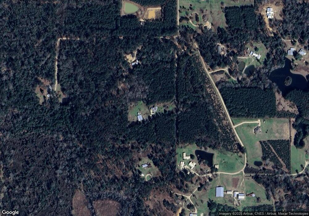
Map
- 53093 S Bennett Rd
- 53144 S Bennett Rd
- 0 S Bennett Rd Unit 2513586
- 0 23 92 Acres Section 40-5-7 None Unit 2512426
- 0 23 92 Acres Section 40-5-7 Unit 2512426
- 16536 Louisiana 40
- 54097 Sweetwater Rd
- 16307 40 Hwy
- 54107 Sweetwater Rd
- La 40
- 17199 Cherokee Trace
- 51274 Riverbend Dr
- 51159 River Bend Dr
- 51284 River Bend Dr
- 51151 River Bend Dr
- 51271 River Bend Dr
- 53264 Cason Rd
- 53069 Cason Rd
- 51132 Jenkins Ln
- TBD Tract 4 Ragusa Rd
- 52716 S Bennett Rd
- 52511 S Bennett Rd
- 52483 S Bennett Rd
- 52515 S Bennett Rd
- 53014 S Bennett Rd
- 52721 S Bennett Rd
- 52470 S Bennett Rd
- 0 Bennet Rd
- 52602 S Bennett Rd
- 53042 S Bennett Rd
- 52710 S Bennett Rd
- 17368 Highway 442
- 17358 Highway 442
- 53066 S Bennett Rd
- 53066 S Bennett Rd
- 52756 S Bennett Rd
- 16202 W Bennett Rd
- 53088 S Bennett Rd
- 53111 S Bennett Rd
- 53122 S Bennett Rd
Ask me questions while you tour the home.