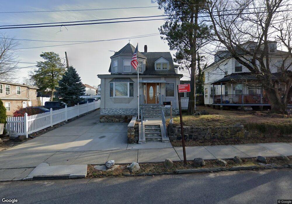
5272 Arthur Kill Rd Staten Island, NY 10307
Tottenville NeighborhoodEstimated Value: $521,000 - $730,000
--
Bed
4
Baths
1,591
Sq Ft
$420/Sq Ft
Est. Value
About This Home
This home is located at 5272 Arthur Kill Rd, Staten Island, NY 10307 and is currently estimated at $667,770, approximately $419 per square foot. 5272 Arthur Kill Rd is a home located in Richmond County with nearby schools including P.S. 1 Tottenville, Is 34 Tottenville, and Tottenville High School.
Ownership History
Date
Name
Owned For
Owner Type
Purchase Details
Closed on
Nov 29, 2004
Sold by
Galletta Paul F and Galletta Catherine E
Bought by
Galletta Paul F
Current Estimated Value
Purchase Details
Closed on
Sep 13, 1994
Sold by
Paduani Joan and Poeppel Joseph W
Bought by
Galletta Paul F and Galletta Catherine E
Home Financials for this Owner
Home Financials are based on the most recent Mortgage that was taken out on this home.
Original Mortgage
$130,500
Interest Rate
8.81%
Create a Home Valuation Report for This Property
The Home Valuation Report is an in-depth analysis detailing your home's value as well as a comparison with similar homes in the area
Home Values in the Area
Average Home Value in this Area
Purchase History
| Date | Buyer | Sale Price | Title Company |
|---|---|---|---|
| Galletta Paul F | -- | -- | |
| Galletta Paul F | $145,000 | Ticor Title Guarantee Compan |
Source: Public Records
Mortgage History
| Date | Status | Borrower | Loan Amount |
|---|---|---|---|
| Closed | Galletta Paul F | $130,500 |
Source: Public Records
Tax History Compared to Growth
Tax History
| Year | Tax Paid | Tax Assessment Tax Assessment Total Assessment is a certain percentage of the fair market value that is determined by local assessors to be the total taxable value of land and additions on the property. | Land | Improvement |
|---|---|---|---|---|
| 2025 | $5,827 | $47,280 | $8,878 | $38,402 |
| 2024 | $5,840 | $50,460 | $7,848 | $42,612 |
| 2023 | $5,550 | $28,728 | $7,511 | $21,217 |
| 2022 | $5,377 | $41,880 | $13,020 | $28,860 |
| 2021 | $5,397 | $34,680 | $13,020 | $21,660 |
| 2020 | $5,391 | $33,120 | $13,020 | $20,100 |
| 2019 | $5,009 | $31,380 | $13,020 | $18,360 |
| 2018 | $4,583 | $23,940 | $13,020 | $10,920 |
| 2017 | $4,520 | $23,644 | $11,904 | $11,740 |
| 2016 | $4,203 | $22,572 | $11,471 | $11,101 |
| 2015 | $3,748 | $22,388 | $10,259 | $12,129 |
| 2014 | $3,748 | $21,121 | $9,678 | $11,443 |
Source: Public Records
Map
Nearby Homes
- 5265 Arthur Kill Rd
- 397 Ellis St
- 133 Fisher Ave
- 147 Wood Ave
- 5362 Arthur Kill Rd
- 197 Craig Ave
- 42 Girard St
- 217-219 Fisher Ave
- 140 Craig Ave
- 112 Johnson Ave
- 233 Fisher Ave
- 69 Nashville St
- 46 Parker St
- 7372 Amboy Rd
- 133 Butler Ave
- 7036 Amboy Rd
- 137 Butler Ave
- 141 Butler Ave
- 21 Sprague Ave
- 5463 Arthur Kill Rd Unit 5465
- 5278 Arthur Kill Rd
- 5266 Arthur Kill Rd
- 5268-5270 Arthur Kill Rd
- 5282 Arthur Kill Rd
- 111 Wood Ave
- 5271 Arthur Kill Rd Unit 5275
- 5271 Arthur Kill Rd
- 5262 Arthur Kill Rd
- 5258 Arthur Kill Rd
- 5256 Arthur Kill Rd Unit 5258
- 5256 Arthur Kill Rd Unit 5256-58
- 5256 Arthur Kill Rd
- 17 Orchard Ave Unit 19
- 17-19 Orchard Ave
- 117 Wood Ave
- 5254 Arthur Kill Rd
- 15 Orchard Ave
- 5279A Arthur Kill Rd
- 5279 Arthur Kill Rd
- 11 Orchard Ave